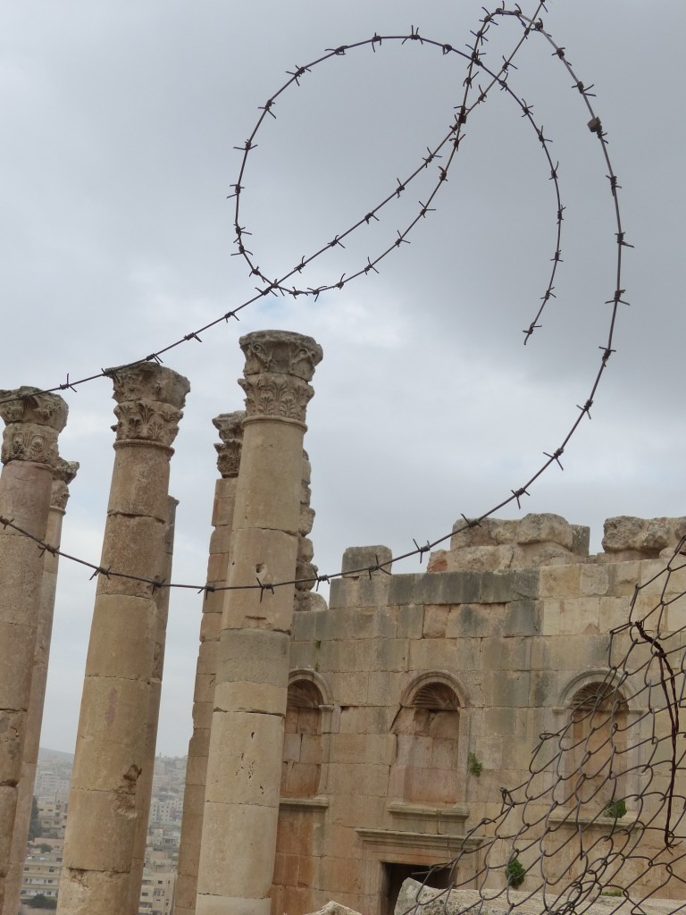
Tag Archives: Jordan

Desert Castles & Amman – Jordan Journey, Day 12

Our last full day in Amman, and we had more castle storming to do!

(For those of you who don’t get it, Tony and I are just a wee bit obsessed with “The Princess Bride,” so every time we visit a castle, we feel compelled to quote the movie: “Have fun storming the castle!”)

In fact, the castles weren’t castles at all. George drove us east today to check out what are commonly called “desert castles” or “desert palaces” but are most likely rural retreats for the hoi polloi of the 8th-century Umayyad Dynasty. Actually, nobody knows for certain why these structures were built. According to the government website, The Hashemite Kingdom of Jordan:

There are various theories about the purpose of the desert palaces, yet the lack of a defensive architectural design suggests that most were built as recreational retreats. The early Arab rulers’ love of the desert led them to build or take over these castles, which appear to have been surrounded by artificial oases with fruit, vegetables and animals for hunting. Other theories suggest that they came to the desert to avoid epidemics which plagued the big cities, or to maintain links with their fellow Bedouin, the bedrock of their power.

We spent the morning near the Saudi Arabian border visiting three sites.
P1060394

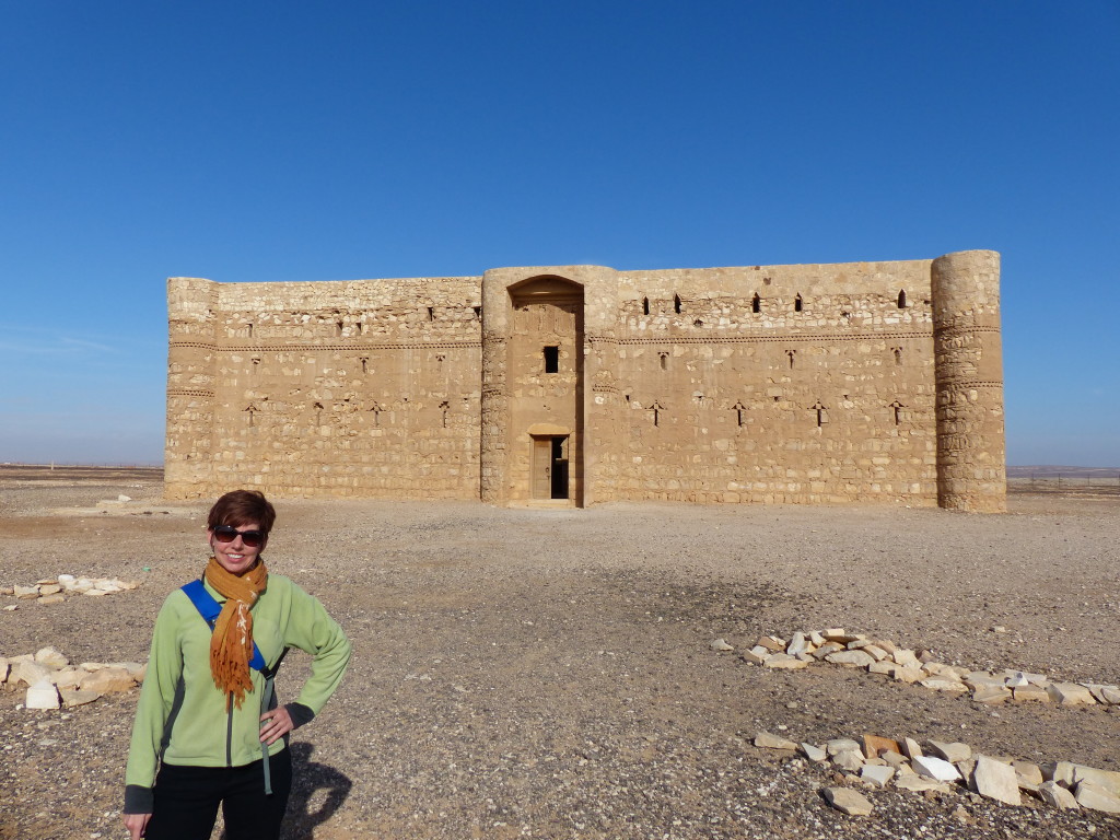
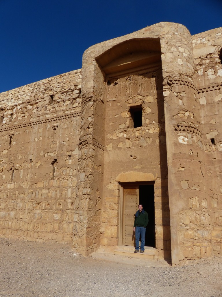
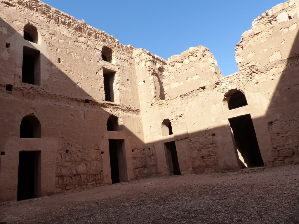
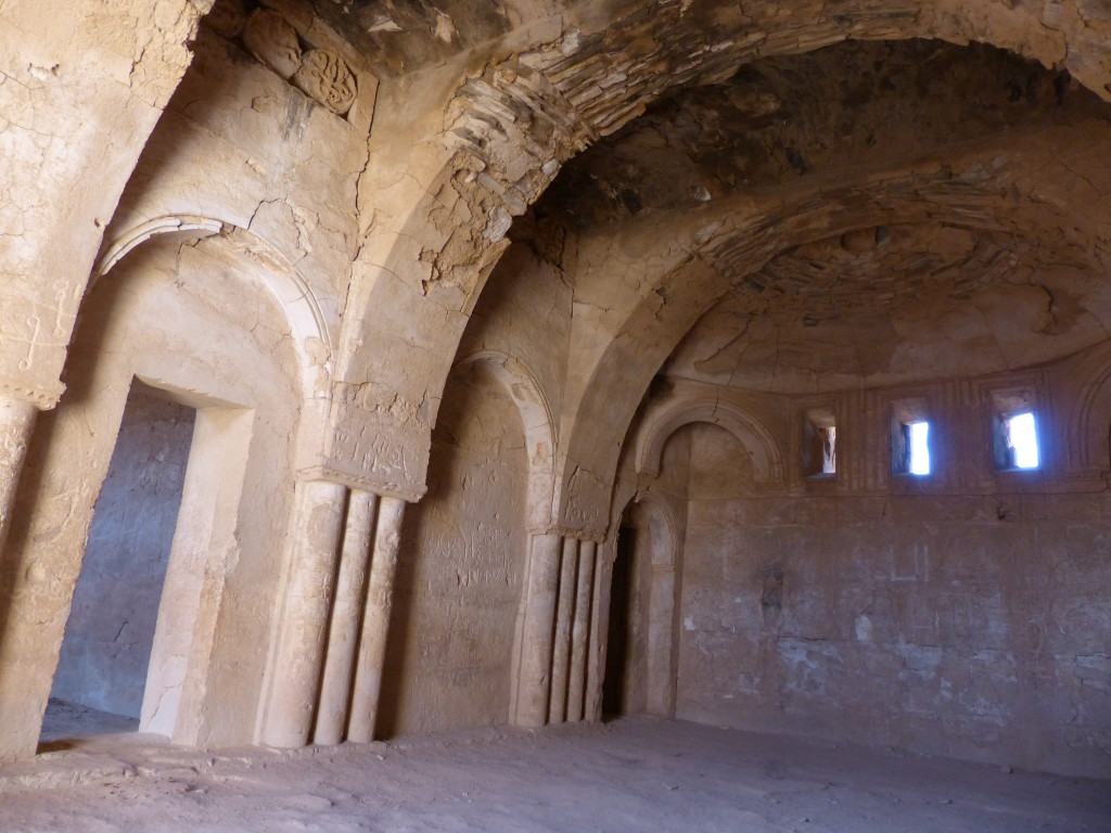
Qasr Al Kharaneh
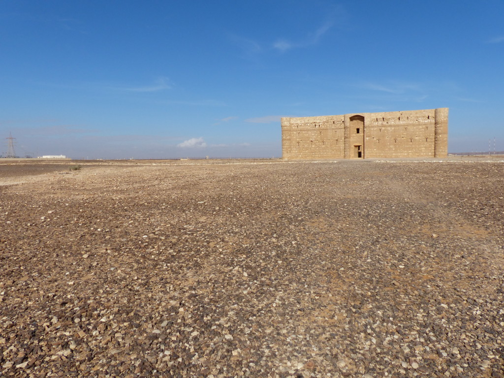
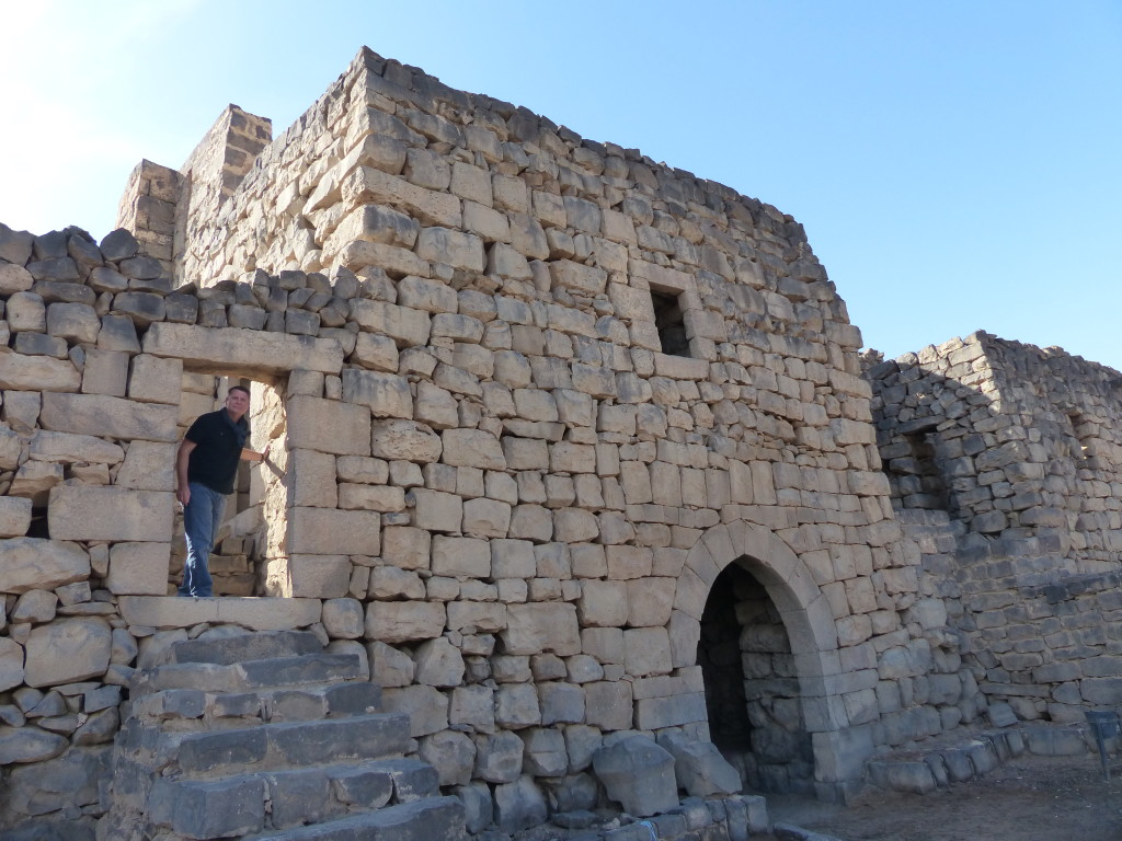
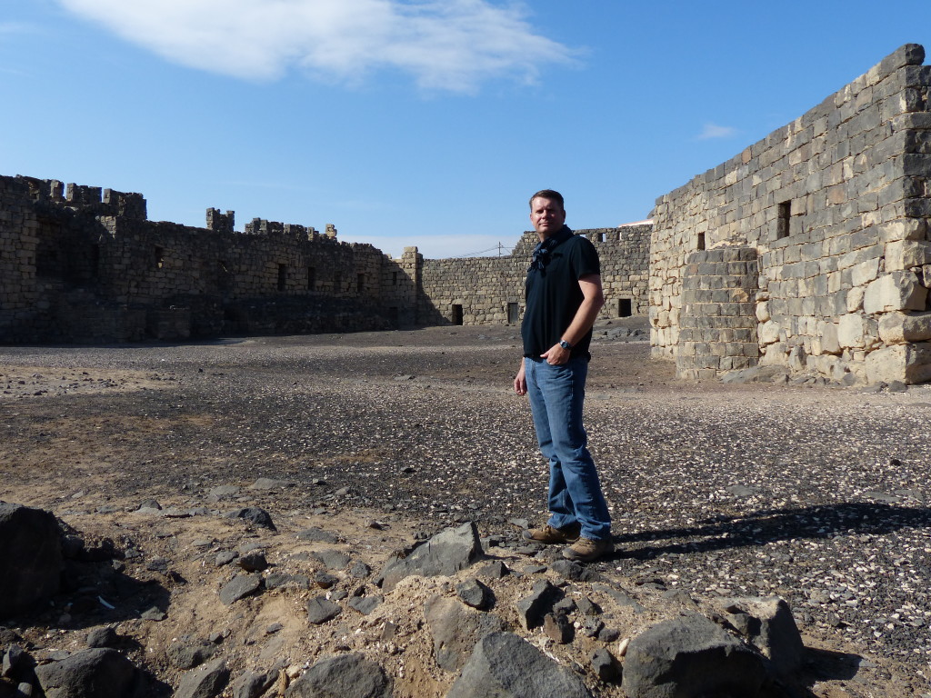
Scholars think this “castle” was probably an inn or caravanserai for camel trains passing through the area. Built in 710 AD, it has features of a defensive fortress, such as arrow slits and towers, but those may have been merely cosmetic.

P1060369

P1060354

P1060356

P1060358

P1060366

P1060365

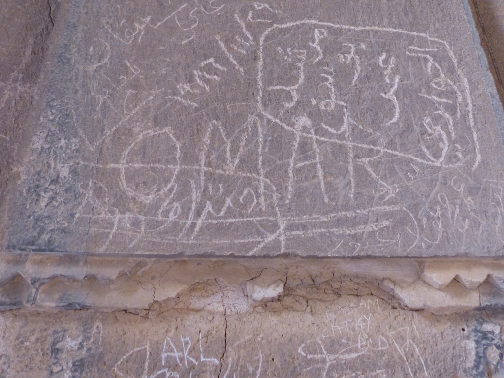
It saddens me when tourists deface historical buildings. In one tiny space, we saw graffiti in Arabic, English and Italian.
P1060360

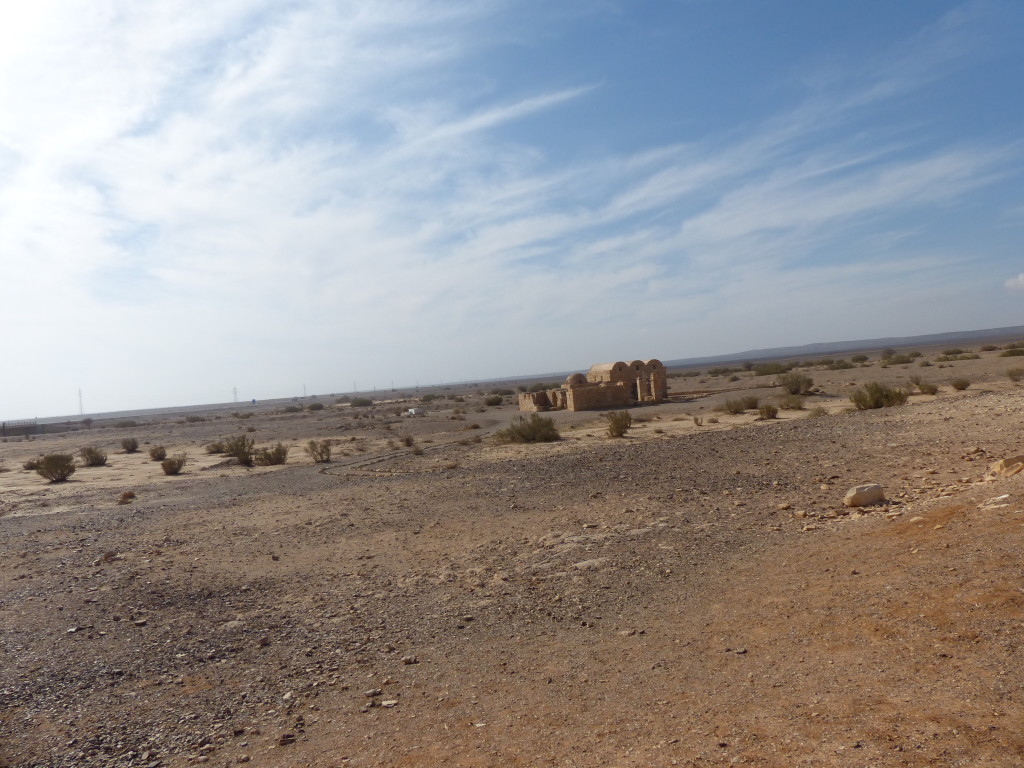
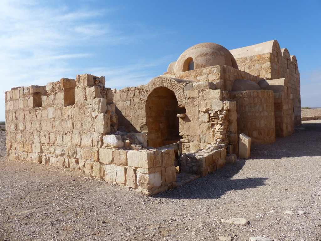
Qasra Amra
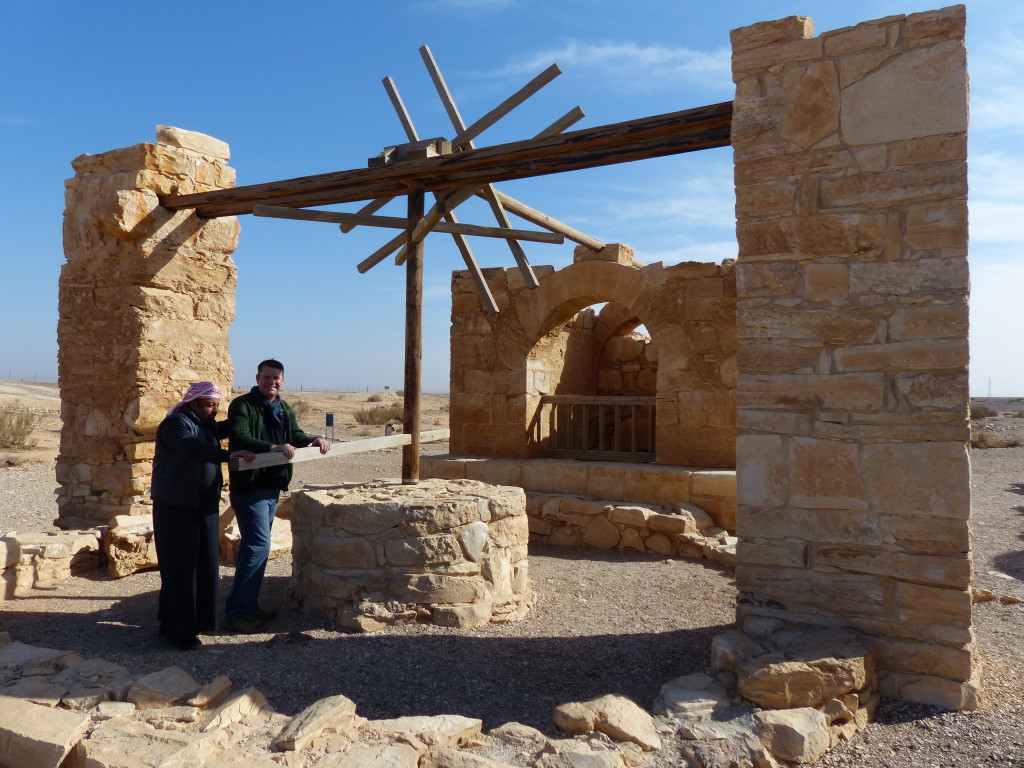
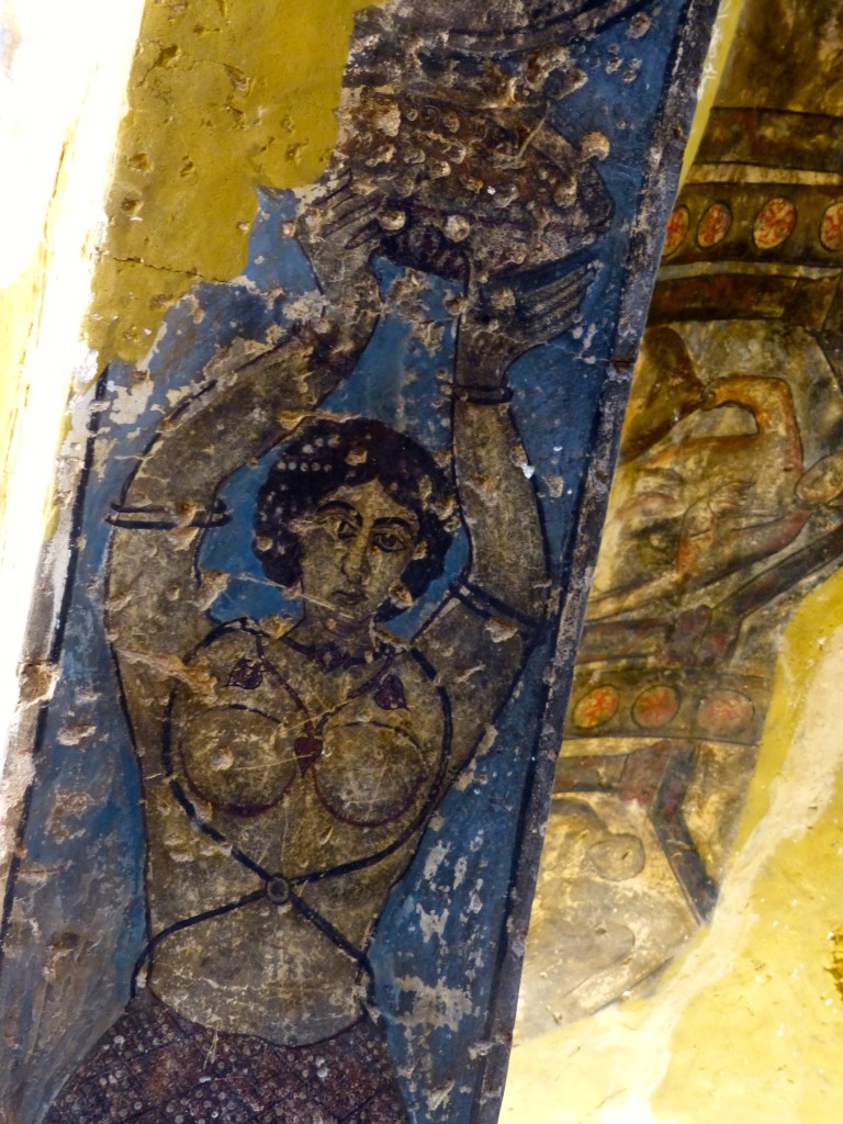
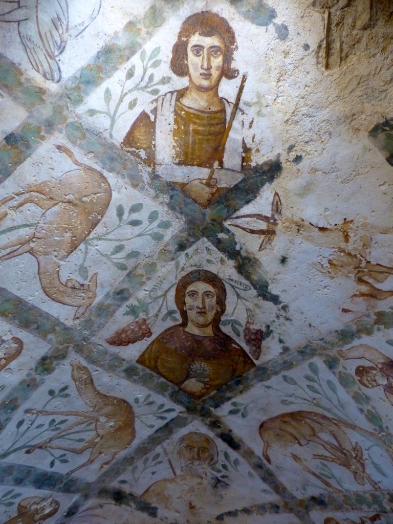
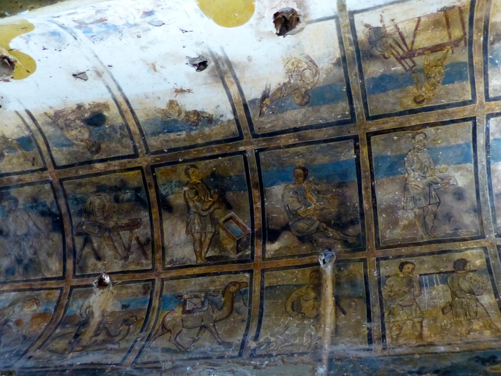
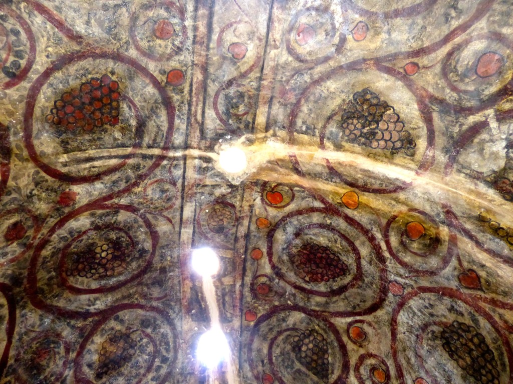
After the first structure, I had expectations of unassuming rustic buildings in our desert castle tour. Imagine my surprise when a friendly greeter unlocked this “castle” to reveal colorful frescoes, mosaic floors and a domed hamam! Ali explained that the region used to get a lot of rain. At least, I think that’s what he was saying. He held his hand at chest level and said, “Here water. Today here water no.” He then modeled how a donkey would have turned the wheel (“No donkey, so I am donkey,” he said.) to draw water from a very deep well, which has now run dry. The water then poured into a storage area and flowed into the bath area of the main building.

The Jordan Jubilee website says:

It is believed that it was built between 711 and 715 by one of the Omayyed caliphs, who had also built the great mosque bearing their name in Damascus and the Dome of the Rock in Jerusalem. These great buildings were ornamented with gorgeous mosaics: in contrast, the bath-house, the private retreat of the caliphs, was decorated with frescoes of luxurious flowers and fruit, naked musicians, hunting scenes and some of the scenes of their conquest of neighbouring lands

P1060393

P1060388

P1060390

P1060387

P1060383

P1060382

P1060377

Qasr Azraq
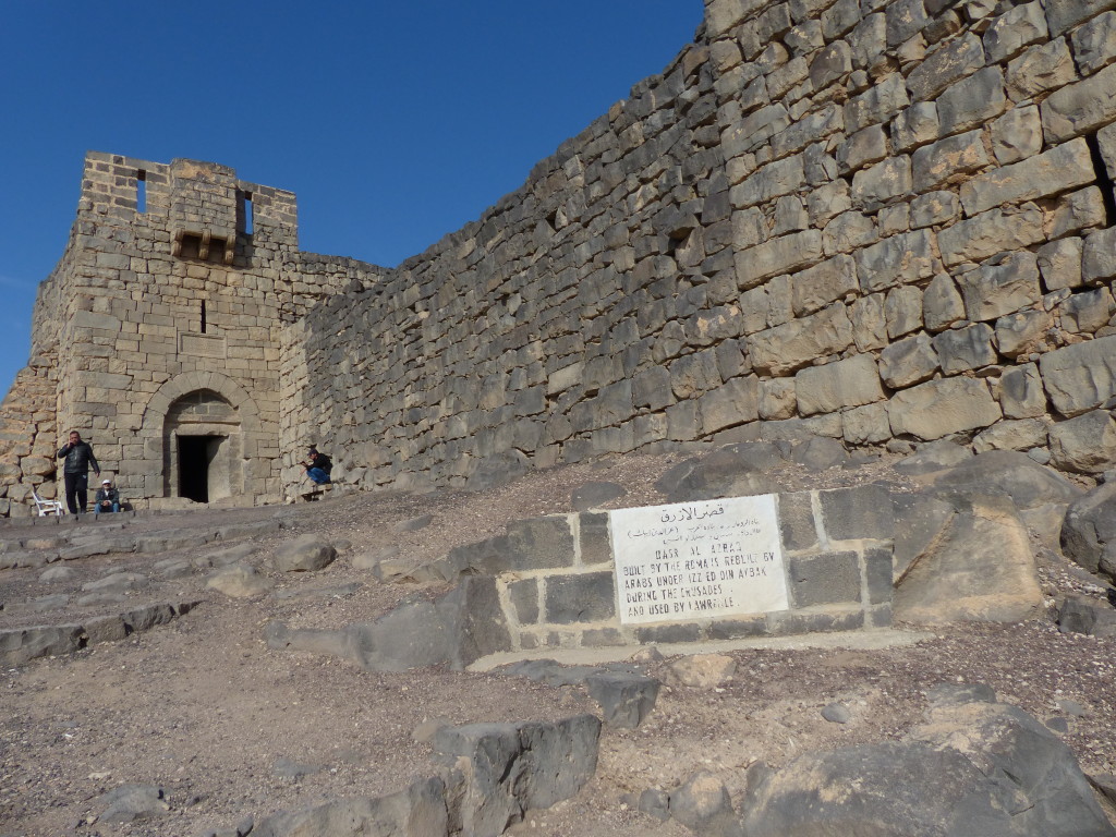
This “castle” really was a Roman fortress, built in 300 AD and modified in 1237 AD by the Mamluks. However, now it resembles a pile of basalt rubble with a few recognizable features, such as a mosque and small rooms with original stone doors. It’s another stop on the “Lawrence of Arabia tour,” but this one is verified. He stayed for about three weeks in 1917 in the room above the entrance.
P1060396

P1060398

P1060403

Castles, consider yourselves stormed!

Amman Citadel
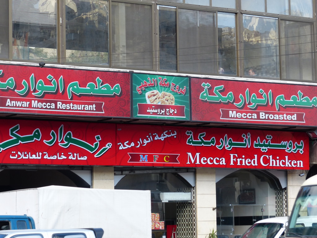
George popped into MFC – Mecca Fried Chicken (!) – to pick up sandwiches for lunch, and then he dropped us off at the Amman Citadel, on the top of Jebel al-Qala’a (about 850m above sea level).
P1060405

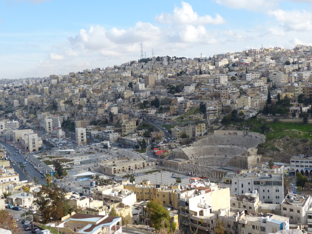
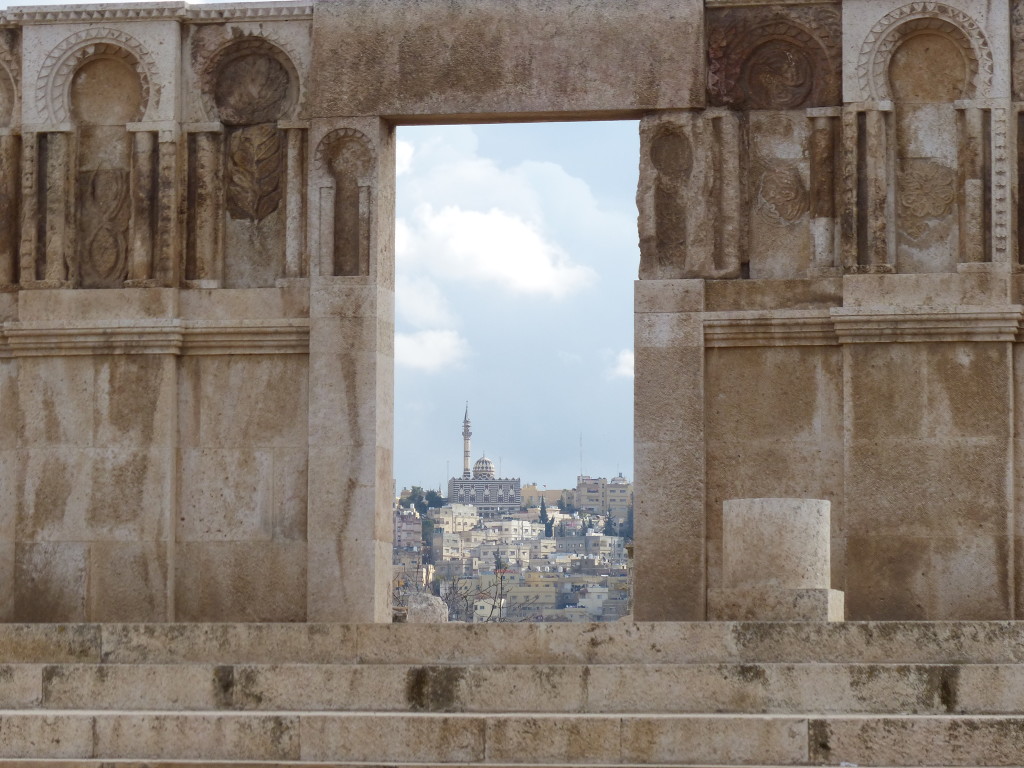
We sat on a bench overlooking the city sprawled out below, eating our sandwiches in a chilly breeze. I’m fascinated at the juxtaposition of ancient and modern, especially when they literally butt up against each other. From our perch, we saw tourists climbing around the 2nd-century Roman theatre wedged into a hill spilling over with 21st-century buildings.
P1060410

Humans have settled on this hill for the last 18,000 years, but the ruins that remain are mostly Roman and early Islamic. Known as Rabbath-Ammon in ancient times, it was renamed Philadelphia after Greek occupation in the 4th century. Arab rulers in the 7th century changed the name back to Amman. Excavation has been ongoing since the 1920s and there’s still much left unearthed.

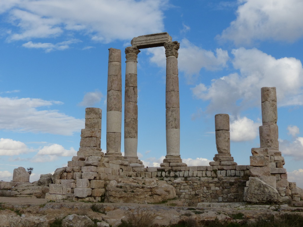
Archaeologists think this was a temple for the worship of Hercules.
P1060411

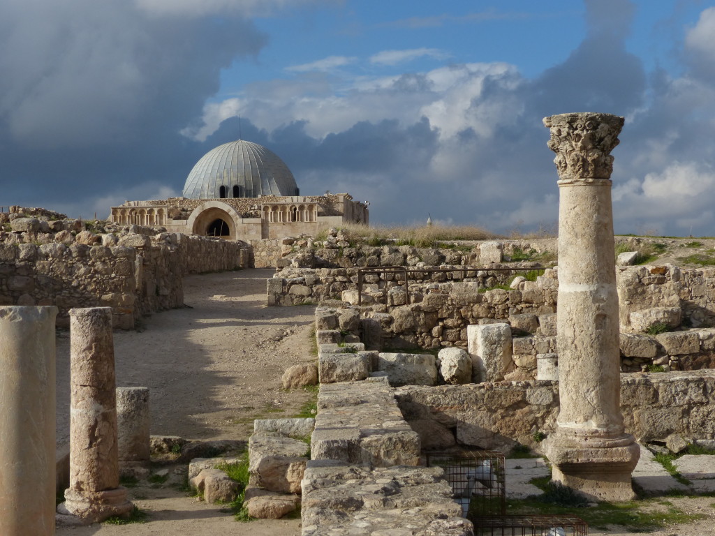
The Umayyad Palace was built around 720 AD and destroyed in an earthquake just 30 years later. The domed audience hall is the most intact building and has been restored extensively by Spanish archaeologists.
P1060413

P1060416

If it hadn’t been our last day in Jordan and Tony hadn’t been feeling so cruddy, we could have spent much more time exploring the Citadel and other historical sites in downtown Amman. Instead, I snapped a few pictures and took my poor sick hubby back to the hotel to rest up for the trip back to India.

Ajloun Castle & Jerash – Jordan Journey, Day 11

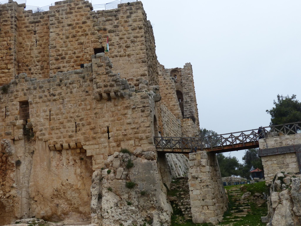
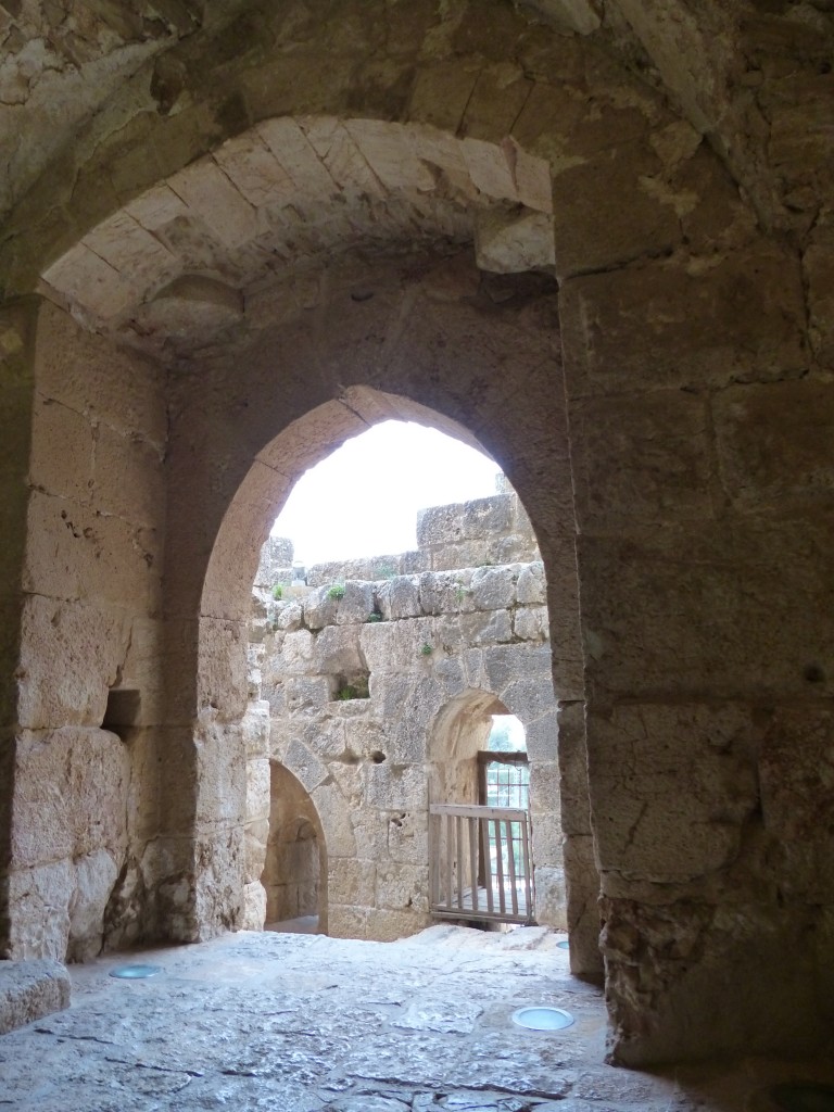
After a day of doing absolutely nothing in hopes Tony would get over his cough (he didn’t), we decided to storm the castle. George took us north to Ajloun, where the rocky landscape of Amman gave way to … well, more rocks, but also rolling hills of patchwork farms, olive groves and forests. He said the area was a popular hiking and picnicking destination for locals, especially in the spring when wildflowers bloom. Today was cloudy and chilly, perfect weather for exploring a 12th-century castle on the top of a mountain.

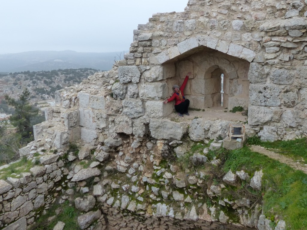
Ajloun Castle sits on a hill called Jabal Auf, offering a 360-degree view of the surrounding countryside. Construction started in 1184 on the site of an old monastery, and the castle was expanded and rebuilt through the 1200s. The castle was one in a chain of fortresses that used pigeon post, which could send a message from Damascus to Cairo in one day, according to the Lonely Planet guide to Ajloun. After the crusader threat subsided, the castle was used by Mongols, Mamluks, Ottomans and eventually local villagers. Remember the Swiss explorer, Johann Ludwig Burckhardt, the guy who “discovered” Petra for the western world? Well, it turns out he also “discovered” Ajloun Castle!
P1060274

P1060254

P1060263

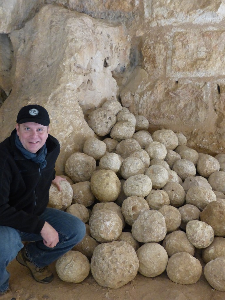
We found a stash of catapult balls and saw the gap where castle dwellers would dump boiling oil on invaders.
P1060270

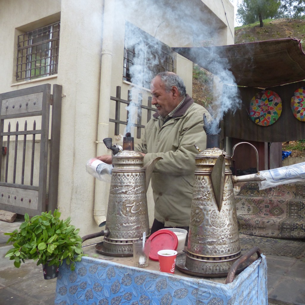
Leaving the castle, I bought some tea from this man, mainly because his teapots were so freakin’ beautiful.
P1060276

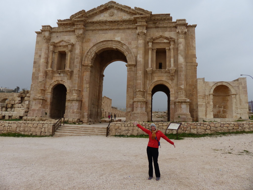
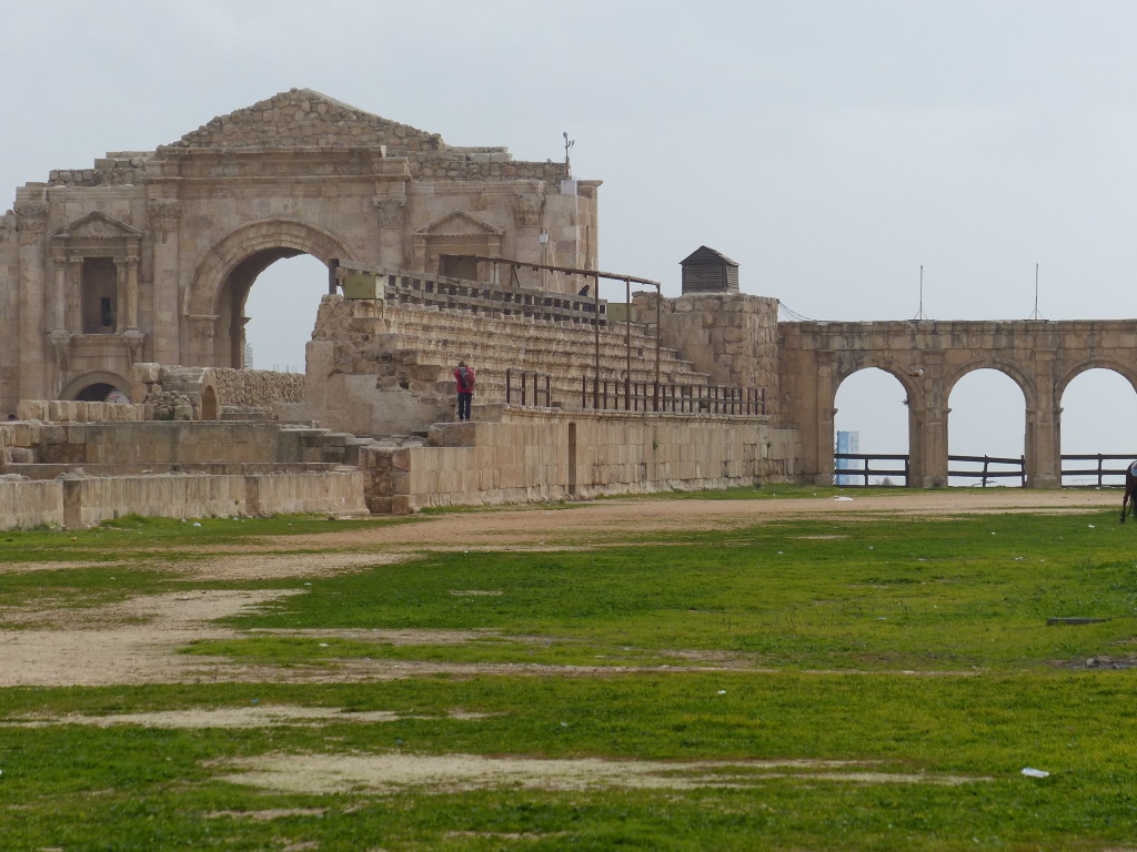
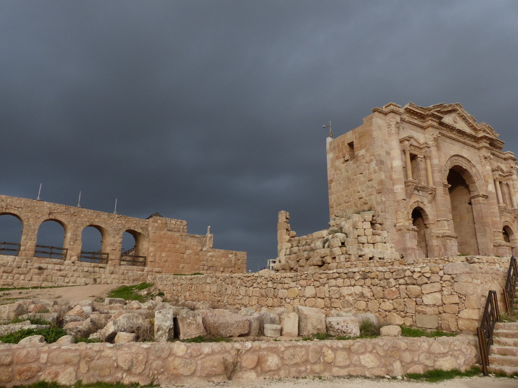
After lunch, George drove us to Jerash. I knew this was the site of ancient ruins, but again my poor preparation for this trip served us well. We walked through the impressive Hadrian’s Gate and the small Hippodrome feeling somewhat blasé.
P1060285

P1060291

I mean, how many Hippodromes can a girl see and still get excited?
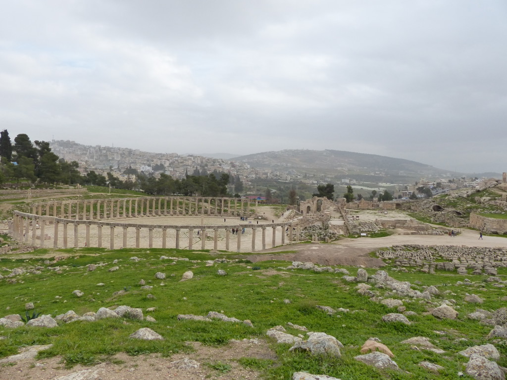
“This is where they raced the hippos,” Tony said. We were still giggling when we crested a hill and saw this.
What the WHAT??!!
P1060324

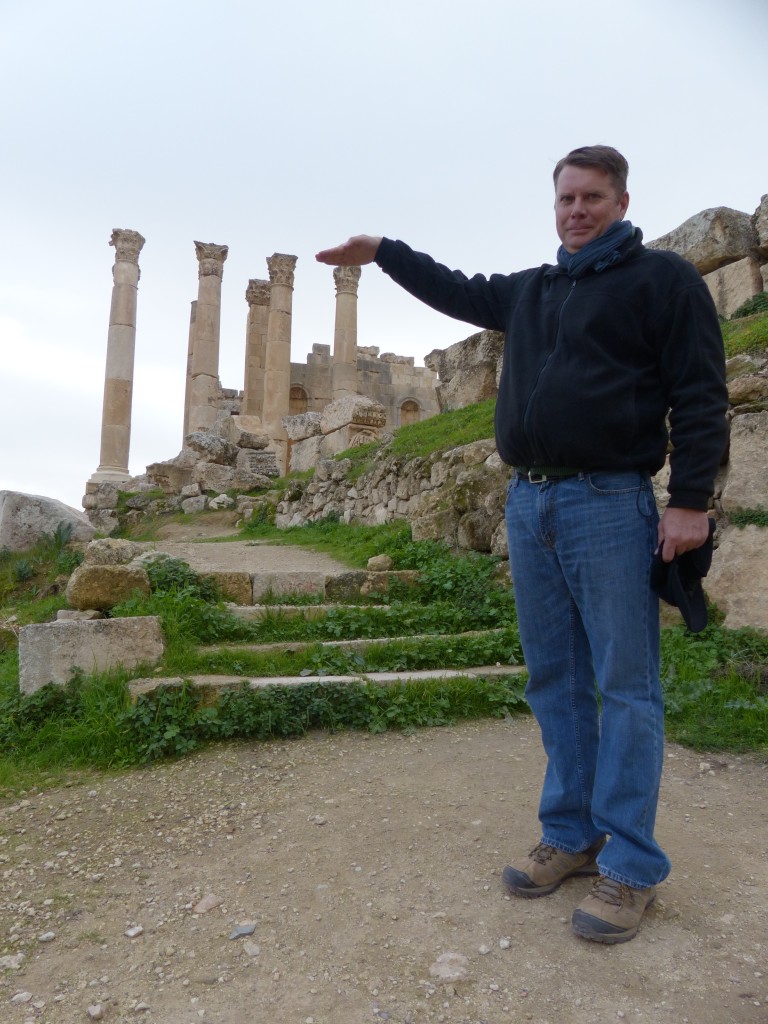
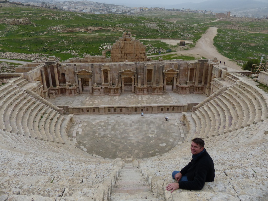
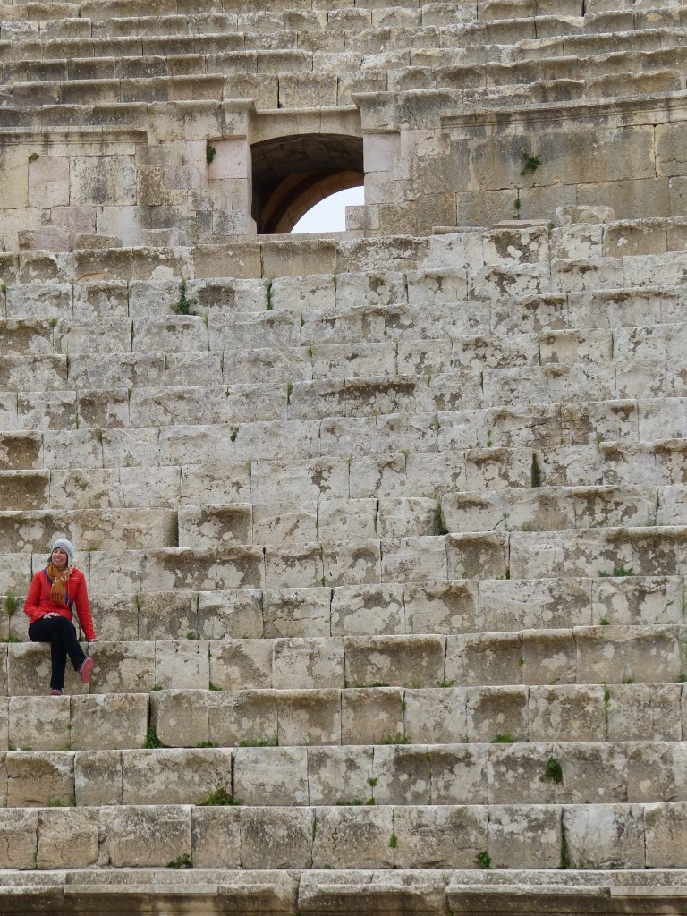
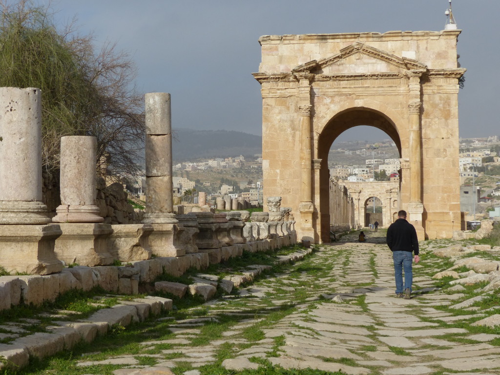
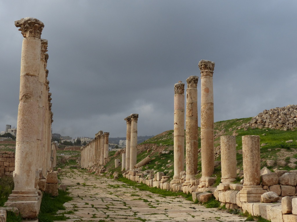
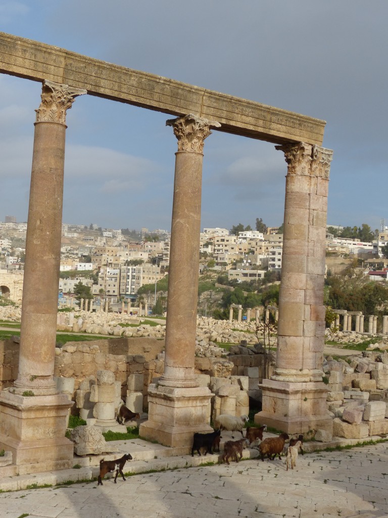
That photo doesn’t even begin to capture the sight. We were standing in the middle of a 2,000-year-old Roman city, and it was easy to imagine it full of life back when it was called Gerasa by its 20,000 residents. We strolled through the plazas and up the colonnaded streets, climbed into the nosebleed section of the gorgeously intact theatre, channeled the excitement of ancient worshippers at the Temple of Artemis, marveled at the infrastructure (including old manhole covers leading to the underground sewer system), lost count of the Byzantine churches, and desperately tried to wrap our heads around the history of this city.

Founded around 170 BC in the fertile mountains east of the Jordan River, Jerash experienced its ups and downs under the Romans, Byzantines and Muslims until an earthquake in 749 wreaked havoc, leaving the city deserted for about 1,000 years. A group of European explorers, including – you guessed it, Burckhardt! – visited the ruins at the beginning of the 19th century, and archaeologists have continued to study the area ever since. Check out the Rough Guide to Jerash for more details.

P1060301

P1060310

P1060314

P1060319

P1060336

P1060344

P1060347

P1060350

P1060349

Wadi Rum – Jordan Journey, Day 9

Waving good-bye to the comfort of our swanky Petra hotel, Tony and I headed for Wadi Rum and Bedouin Directions camp. Our driver was named Jafar, so you know I couldn’t stop singing the Alladin theme song in my head for the whole 2-hour drive.

Our jeep tour organizer, Mehedi Saleh Al-Heuwaitat, had sent an email warning us of a scam at the Wadi Rum entrance gate: “Please don’t listen to the people who are waiting outside the Visitor Center building as they spend the whole day waiting to ‘catch’ tourists and they will lie with you quite happily and tell you they are me or work for me! They can be convincing but don’t believe them. I will not wait for you there, and a guide that works for me will not wait for you there. We will wait in the village. … Ask the guide meeting you to give you your name and if he can do this, you know you have the right people.”

Fortunately, Jafar bought our entrance tickets without incident, and we soon met up with Mehedi. He took us to his squat concrete home in the village, where we sat on the floor by the fire while his 3-year-old son played with cars in the gravel outside. Sipping tea, we chatted with another couple heading to the camp. After awhile, our guide Ahmed loaded us into a 4X4 jeep, and we rolled out of the village and into the desert.

We had almost cancelled this part of our trip because Tony’s persistent cough was taking its toll on us both. He felt pretty good during the day, so we stayed busy and active for most of our vacation up to this point, but every night was dreadful. Sitting up, he could catch a few minutes of sleep at a time, but if he tried to lie down, he erupted into horrible fits of coughing. He loaded up on drugs from a Petra pharmacy, but their effect was minimal. I was sleep deprived, and Tony was completely wrecked. Still, he insisted on going to the camp, and we both agreed it was one of our best days in Jordan.

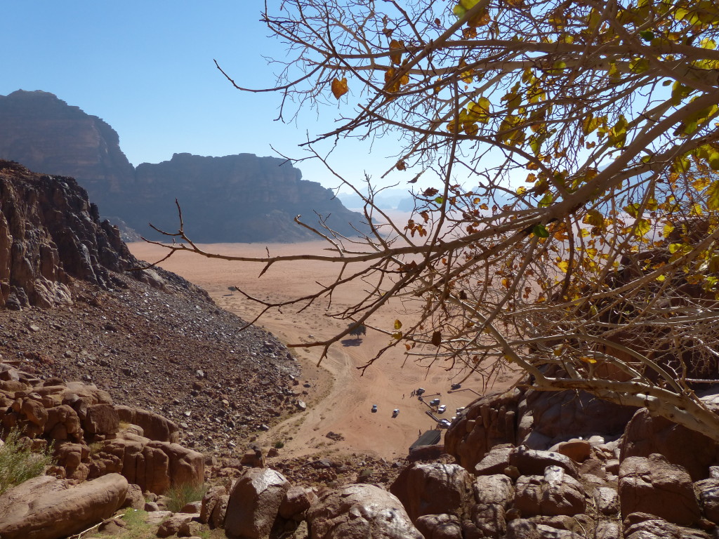
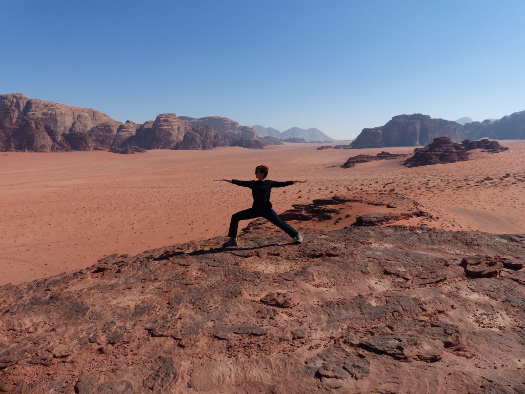
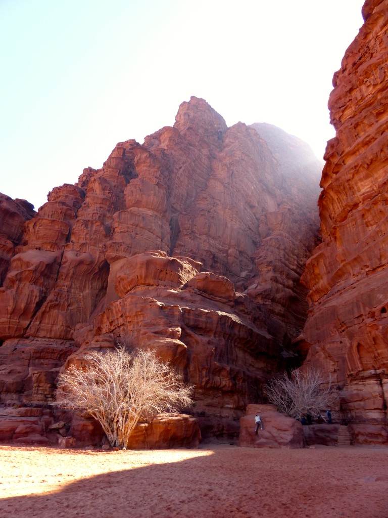
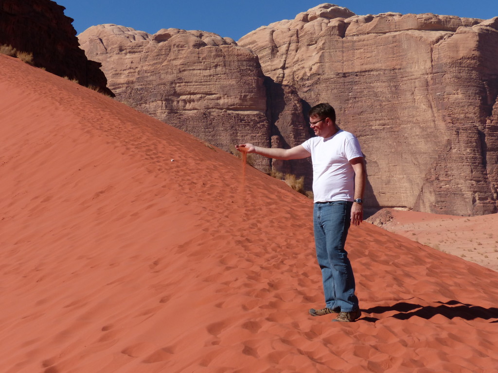
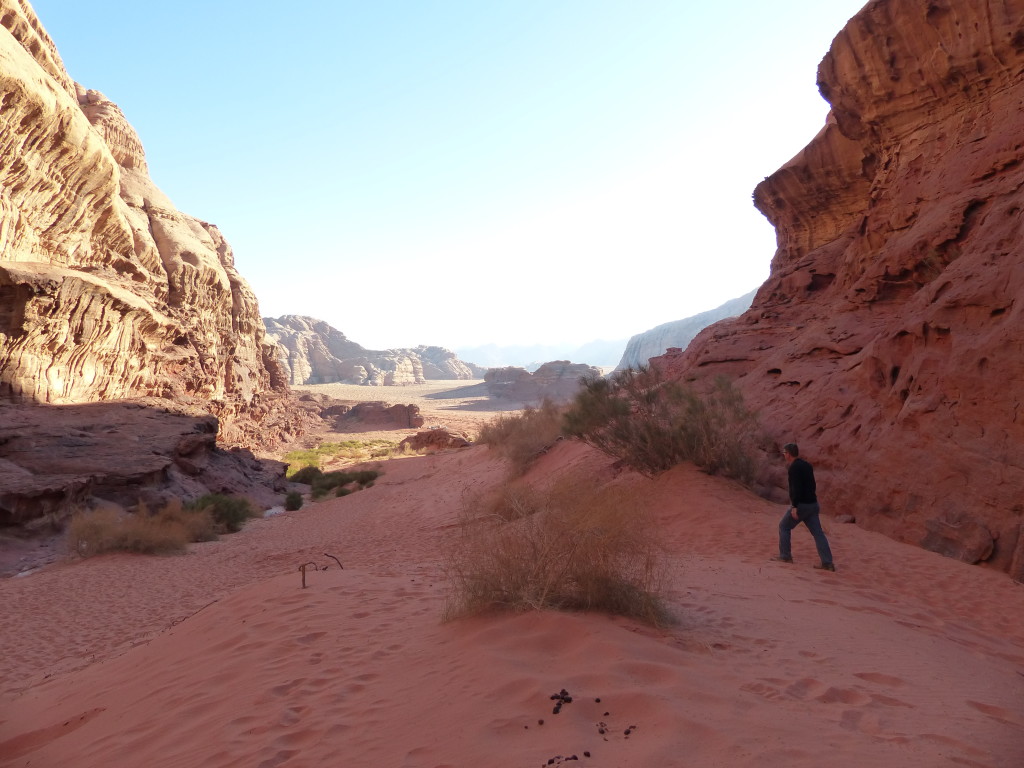
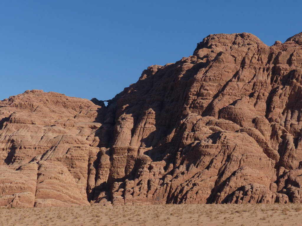
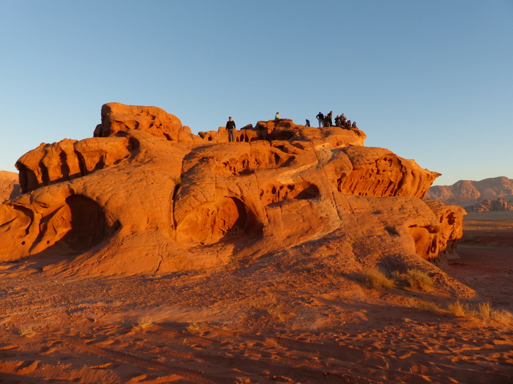
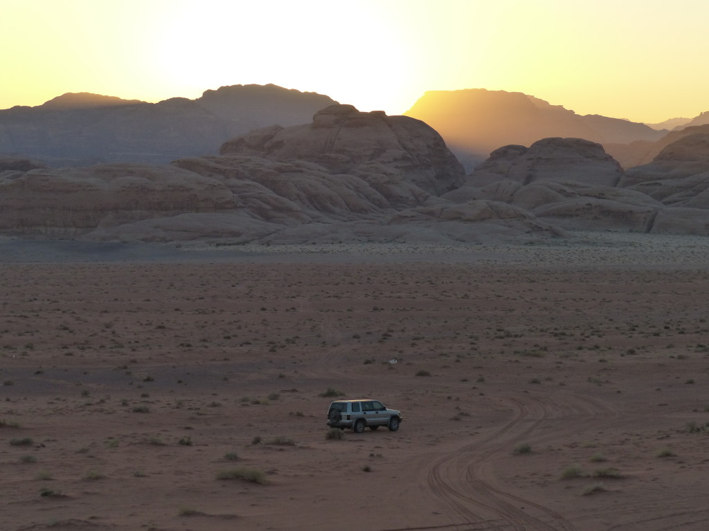
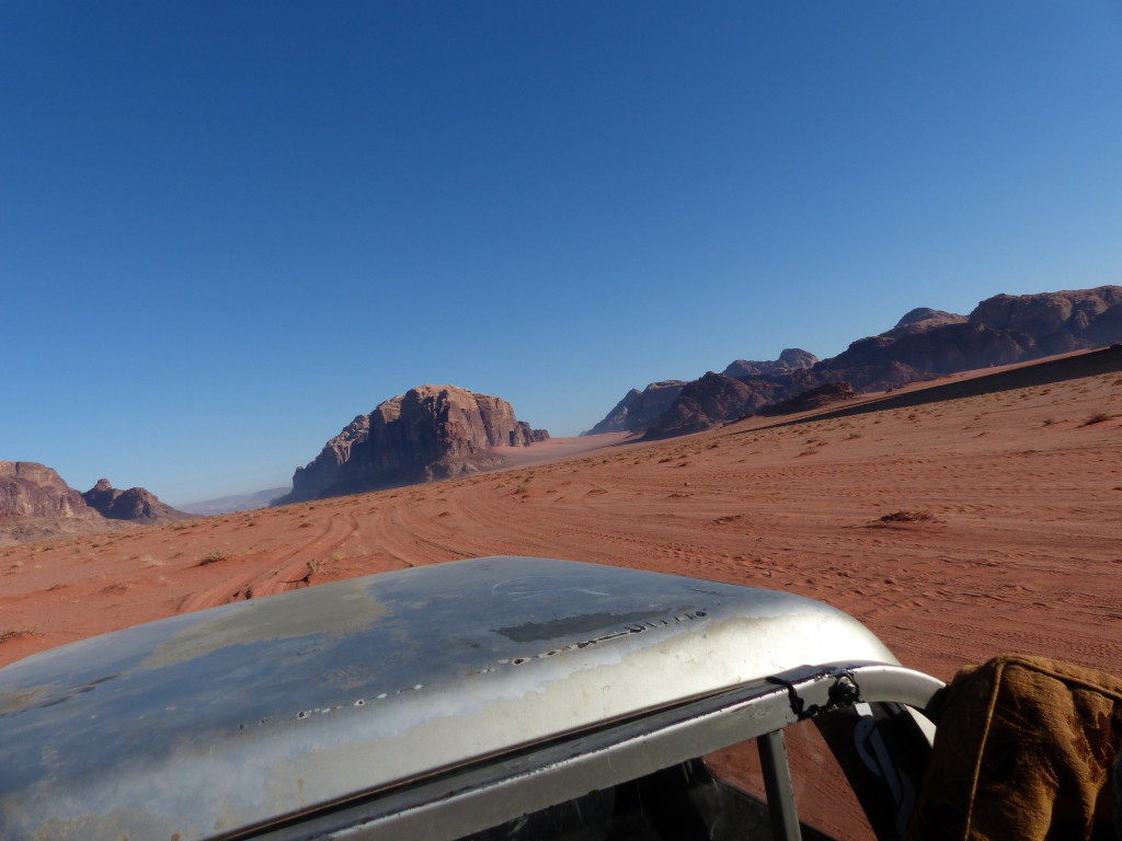
South of the Shara mountains near the border with Saudi Arabia, Wadi Rum is one of several parallel valleys. Its deep red sand appears to flow like a river through canyons as it swirls around towering rock formations and sweeps up to steep dunes abutting the hills. The “jebels” – sandstone, granite and basalt mountains – rise up from the sandy valley as high as 800 meters (2,624 feet). Erosion over thousands of years has created the illusion of brick-red candle wax dripping down the hillsides.

Ahmed drove his jeep across the red sand as though signs pointed to our destination, but the only signs I could see were were rocks, scrubby bushes, sand dunes and mountains. He didn’t speak much English, but he was friendly and tried really hard to answer our questions. We stopped at several spots to scramble on the boulders, hike up to a viewpoint or play on the sand dunes.

Throughout the day, Ahmed would point to something and reference Lawrence of Arabia. At first, we thought the movie was filmed here. Then we thought maybe the real Lawrence of Arabia lived here. It wasn’t until we got to Amman with internet access that I found answers. Well, sort of. Even the most credible websites conflict each other regarding T.E. Lawrence, the British army officer who lived and fought among the Hashemite rebels against the Ottoman Empire in World War I. Bottom line: T.E. Lawrence did spend some time in this region around 1917, and the epic movie starring Peter O’Toole was filmed here in the 1960s. In his book The Seven Pillars of Wisdom, Lawrence described Wadi Rum as “vast and echoing and God-like,” using the Latin phrase “numen inest” or “There is divinity here.”

The Smithsonion Magazine’s article, “The True Story of Lawrence of Arabia” from July 2014 provides a fascinating and in-depth look at Lawrence’s life and relationship with the Arab world.

Our jeep tour of Wadi Rum included these stops.

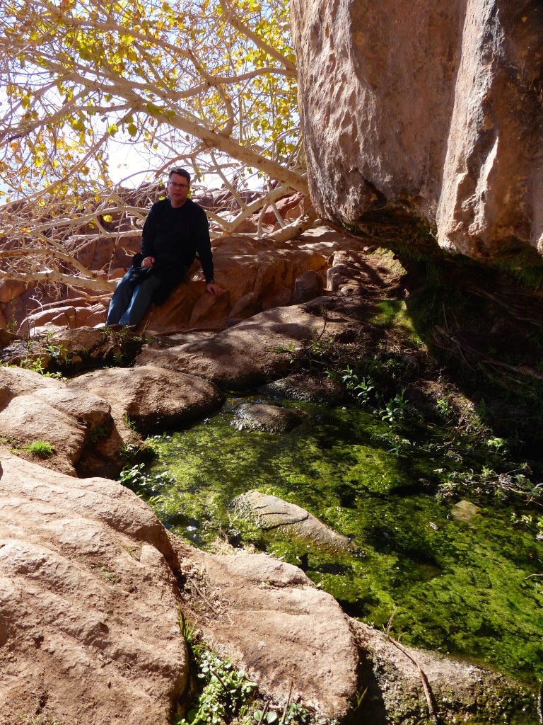
Abu Aina – Misidentified as Lawrence Spring, the water here actually trickled down to the desert from the real Lawrence Spring a bit higher up the mountain. We climbed up the boulders to find a little pond of water and see the view. A couple fig trees provided shade at the top.
P1060092

P1060093

Small Sand Dunes – We climbed, posed, marveled at the landscape, and then Tony ran down the dune.
P1060110

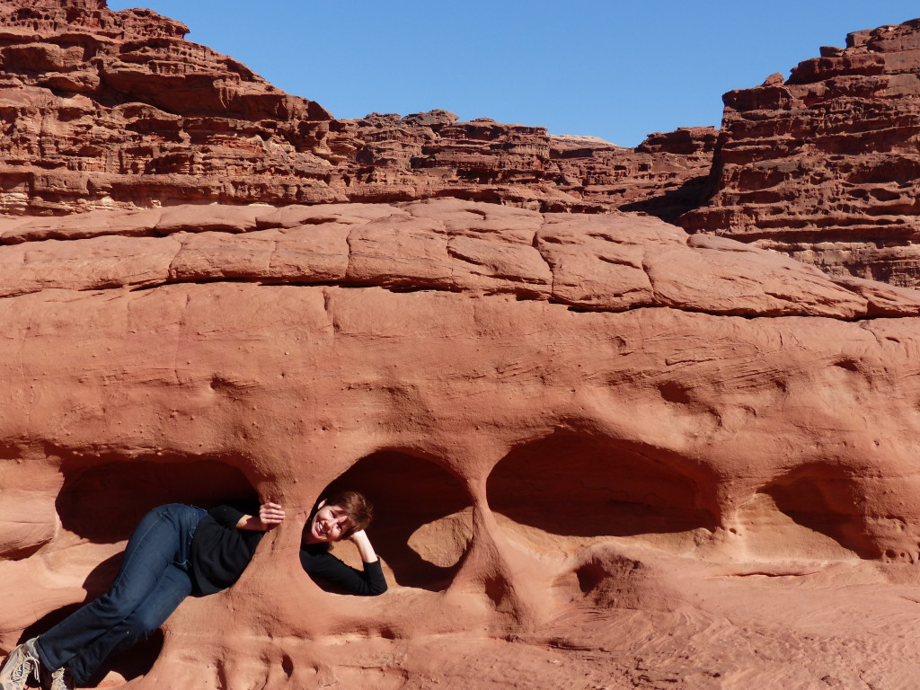
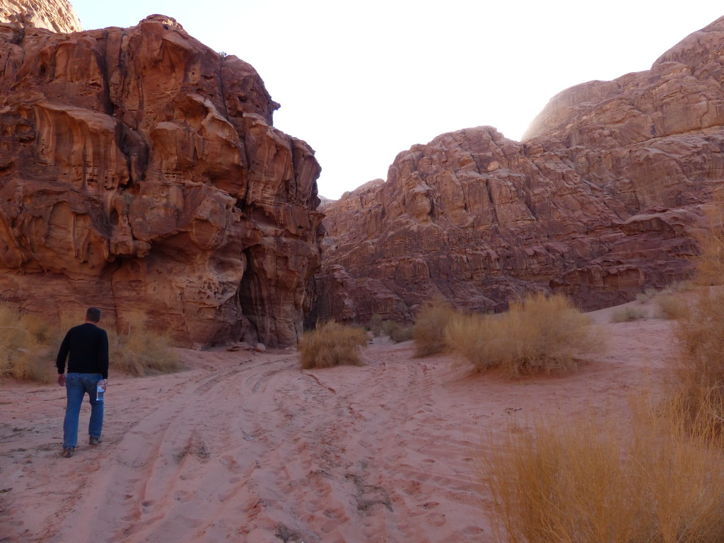
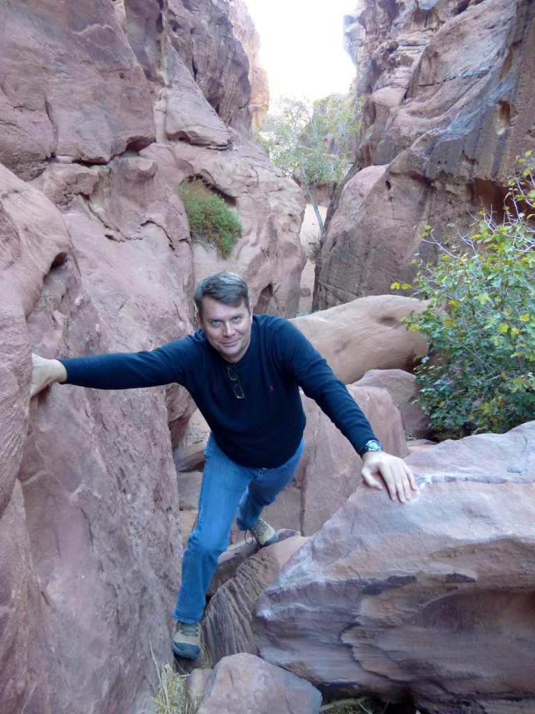
Khazali Canyon – This short canyon required shuffling along a narrow rock path and then using the natural handholds in the rock to climb past a pool of water. At the end, a slippery vertical wall seemed like an exciting challenge, so I started my ascent. Thanks to erosion, the wall was pockmarked with cracks and steps. However, about halfway up I suddenly panicked that I was free climbing with no ropes and no belayer. I wasn’t completely confident I could get back down without rappelling. My legs started trembling, and I slowly backtracked to the ground. Walking out of the canyon, we encountered that first puddle again, and I knew I could get across with no problem. However, a big group of tourists approached with a bossy guide, making me nervous. My foot slipped and splashed into the water up to my shin. Embarrassing.
P1060120

Red Sand Dunes – More climbing, posing and enjoying the view. See a pattern here? After owning my camera for two years, I finally figured out how to take panorama photos without overexposure. Yay!
P1060134

P1060136

P1060144

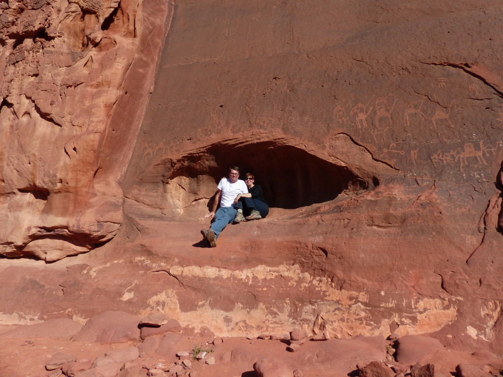
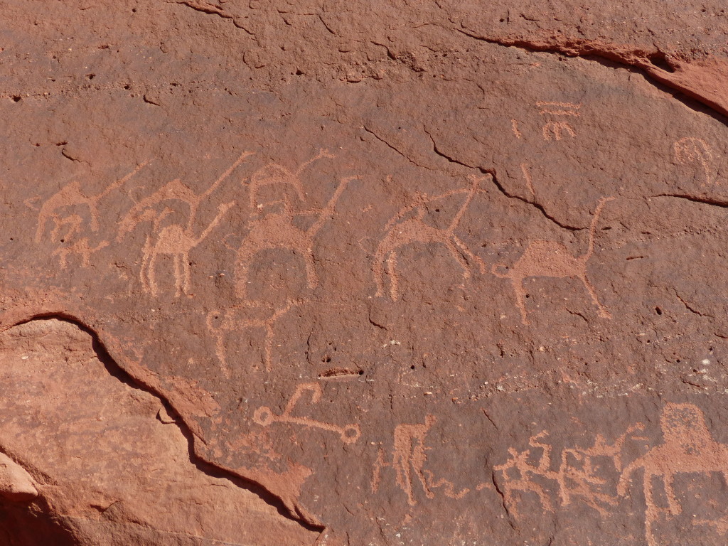
Anfishieh Inscriptions – Despite way too much time researching this on the internet, I couldn’t find anything authenticating these inscriptions. The rock drawings are generally attributed to the Thamudic and Nabataean tribes, so they could date back to the 8th century BC. All Ahmed could tell us was that they were “very old.” There was definitely some modern graffiti alongside the very old drawings, unfortunately.
P1060156

P1060150

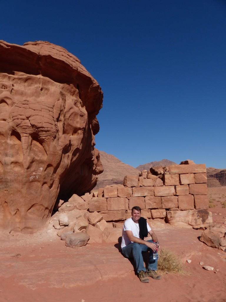
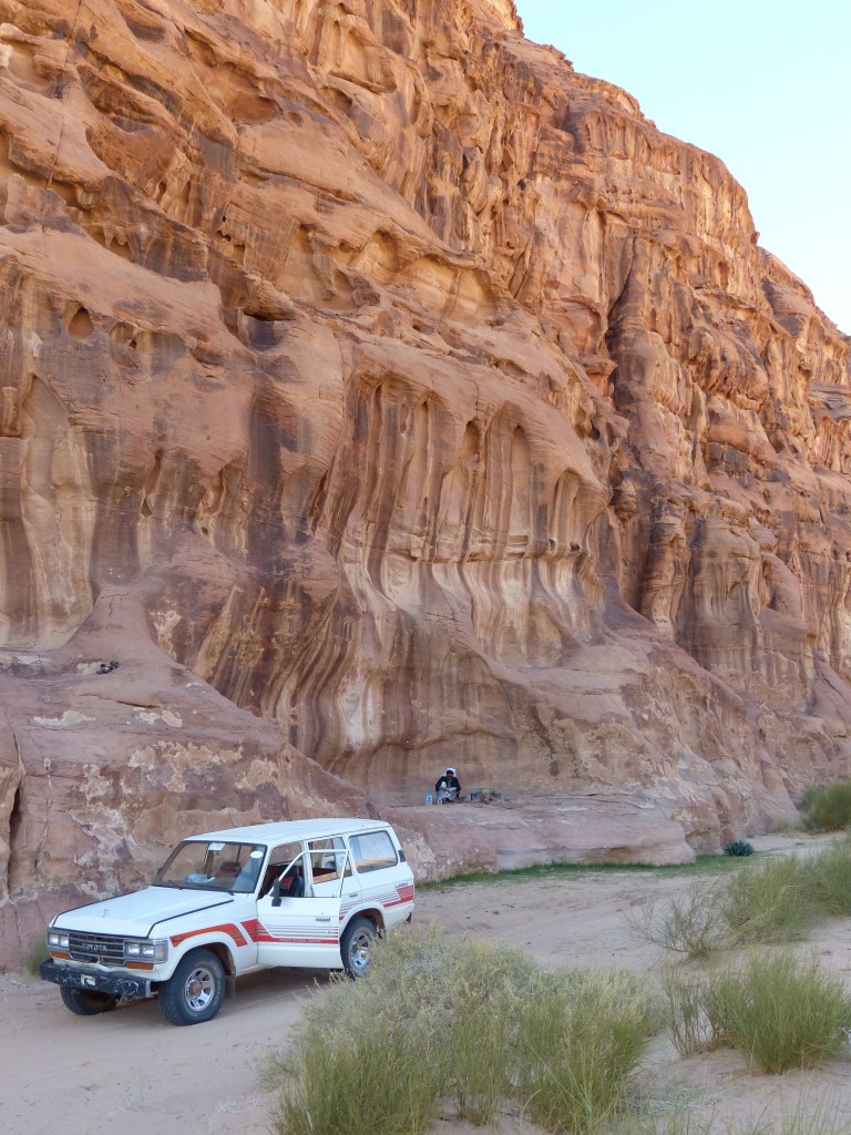
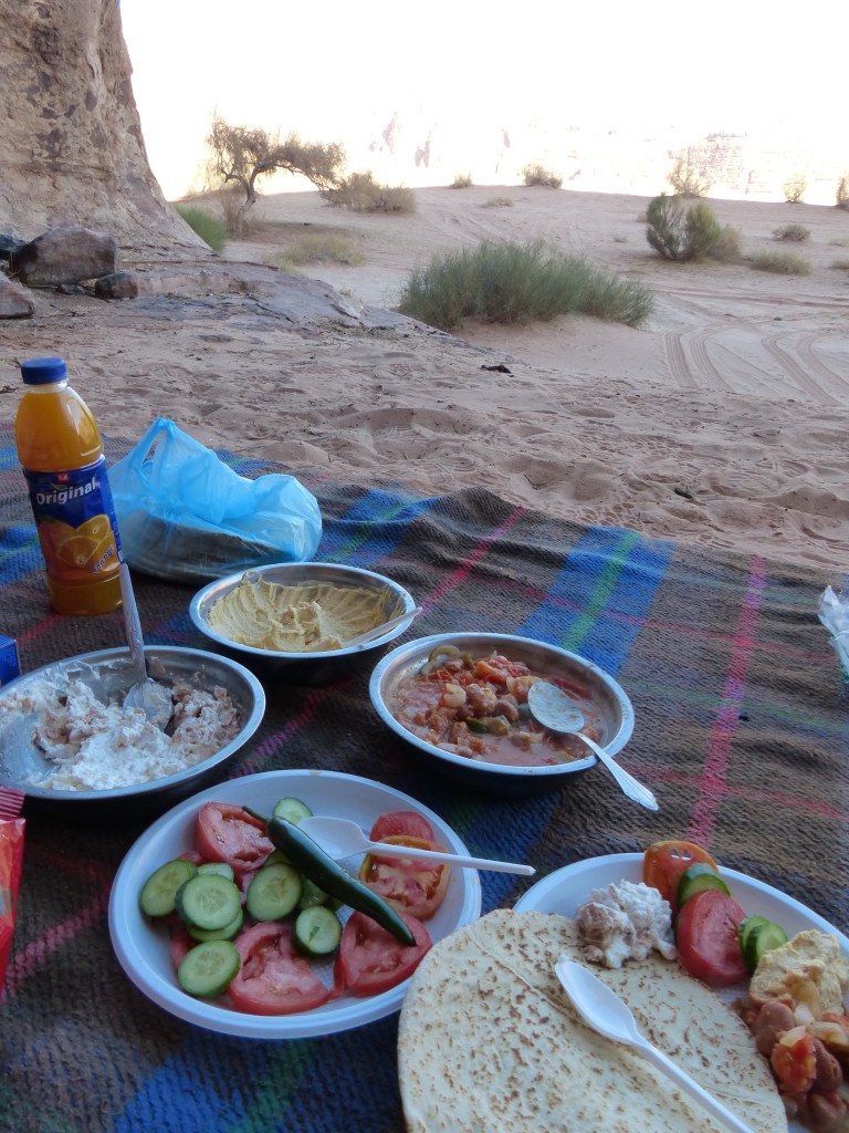
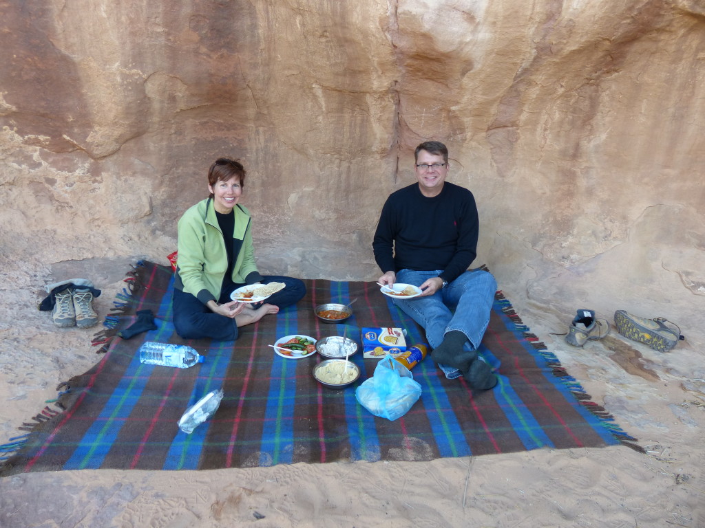
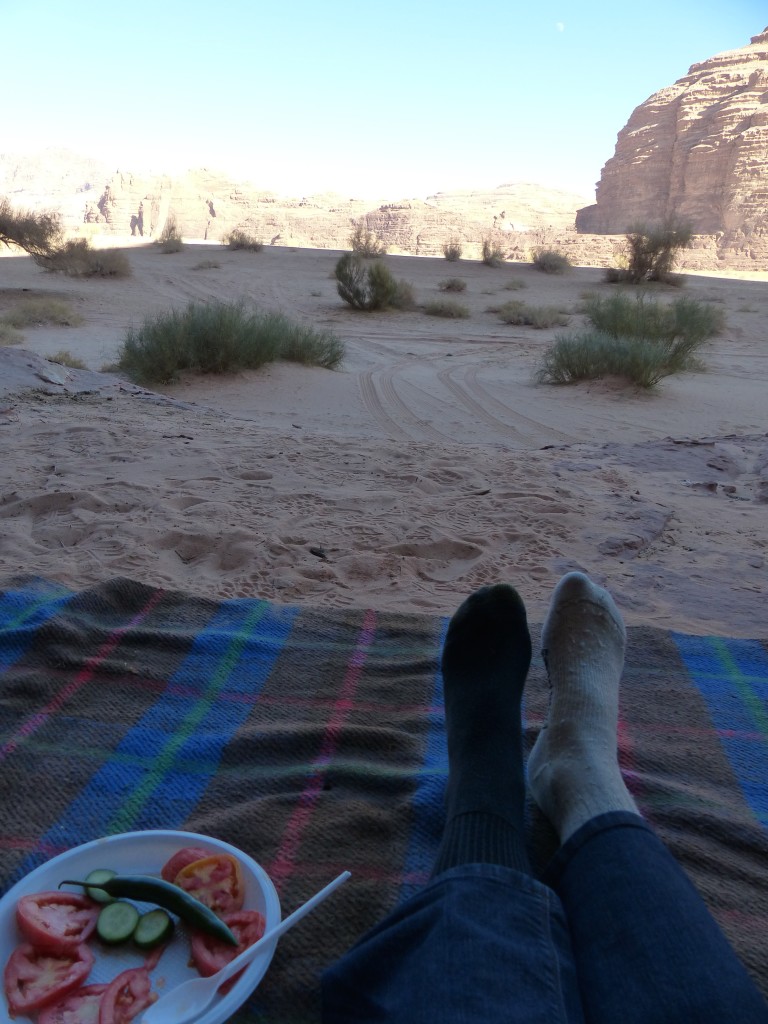
House of Lawrence – A small structure possibly built by the Nabataeans possibly may have been used by T.E. Lawrence to store weapons during the Great Arab Revolution. Possibly. Regardless, a short climb above the structure offered up yet another stunning view. Ahmed found a nook in the rock nearby, built a fire and whipped up a delicious lunch for us while we explored.
P1060167

P1060168

P1060169

P1060170

P1060172

P1060174

Tony had an extra pair of socks in his backpack, so I was able to change out of my wet one.
P1060175

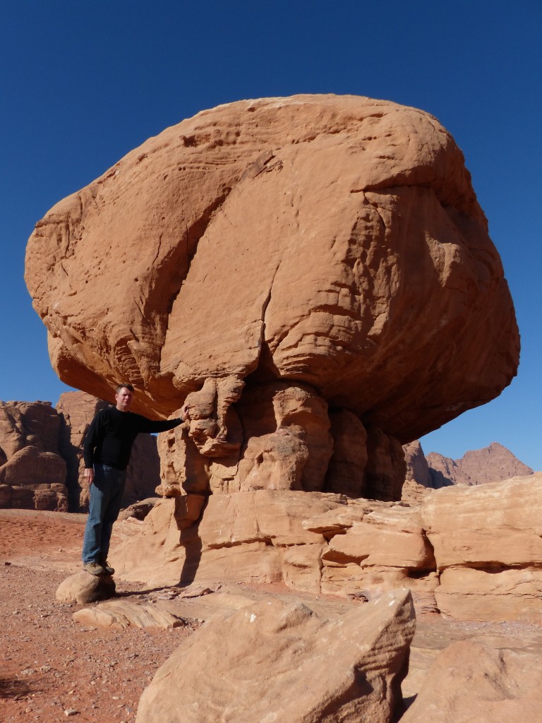
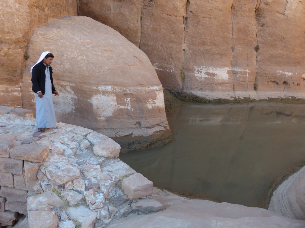
Mushroom Rock and Roman Dam – After a short stop at this bulbous rock, Ahmed took us to a dam that he said was built by the Romans. He said the dam creates a basin for rainwater, which can be piped out for watering camels, goats and sheep.
P1060179

P1060181

Barragh Canyon – Ahmed dropped us off at one end and picked us up at the other end. I hadn’t realized until later that this was a big attraction for rock climbers. Rats, that would’ve been fun.
P1060184

P1060192

P1060199

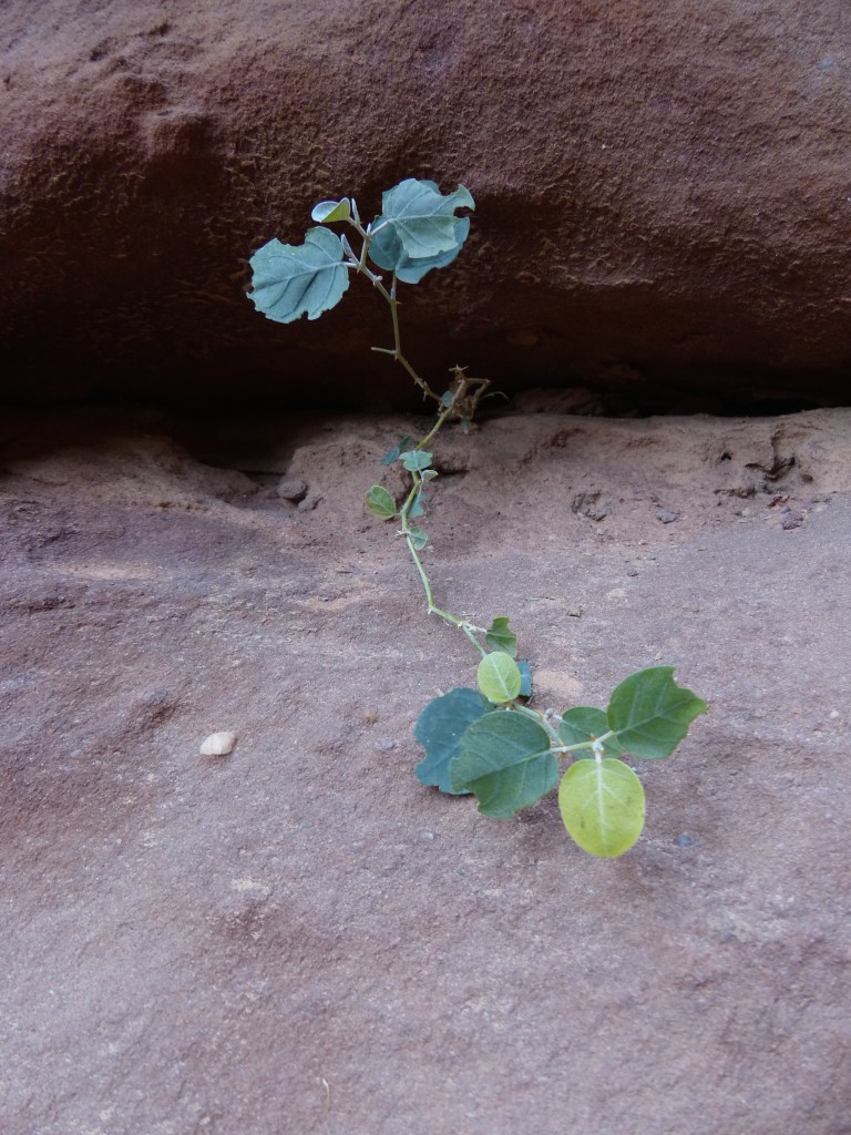
No doubt about it, nature is cool. I’m always amazed to see where living things can thrive, and Tony and I both couldn’t stop commenting on how the earth morphs. Every step brought us more evidence that this region had been under water at one time, rocked by earthquakes and slowly sculpted by sand, water and wind.
P1060190

P1060198

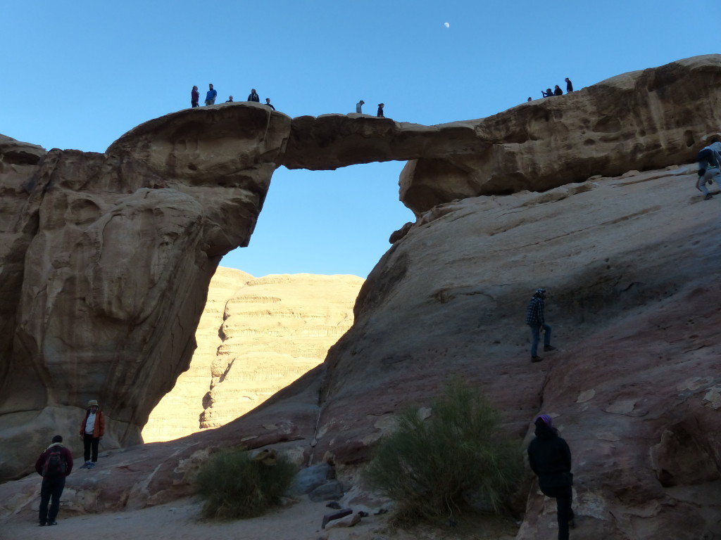
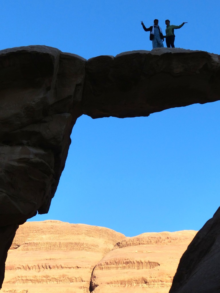
Burdah Arch and Um Frouth Arch – We viewed the Burdah Arch from a distance. Ahmed said it takes about three hours to hike to the top. Instead, we visited the much more accessible Um Frouth Arch. Only about 15 meters high, it was narrow enough to inspire some serious fear. I gripped Ahmed’s arm pretty hard as we stepped closer to the edge. He then laughed and showed me how he could get down from the arch in 3 seconds … in sandals. And he did. Yikes.
P1060182

P1060202

P1060206

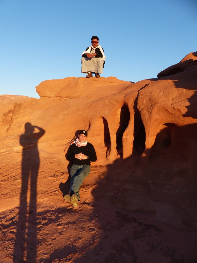
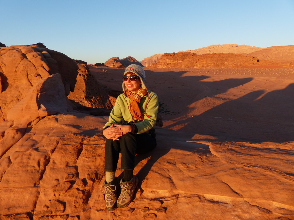
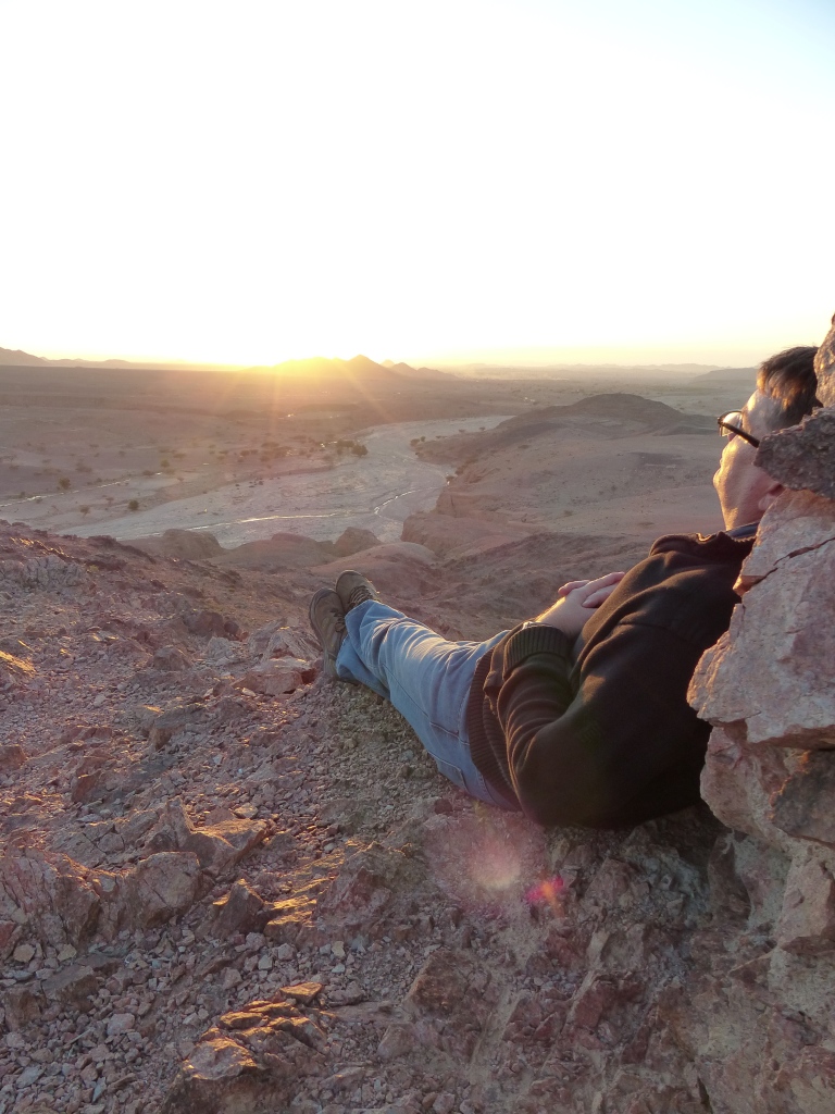
Finally, we stopped at Chicken Rock, a big ball on two legs, which I failed to photograph, and climbed up the adjacent rock with a few other tourists to watch the sunset.

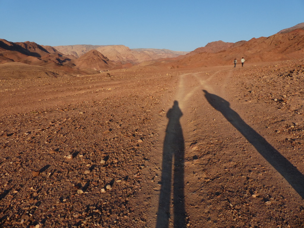
I like this shot of Ahmed, Tony and my shadow.
P1060209

P1060215

P1060219

P1060222

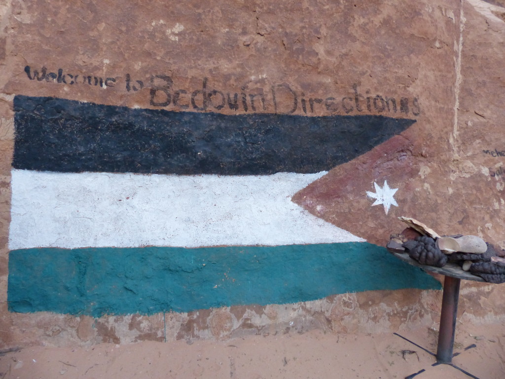
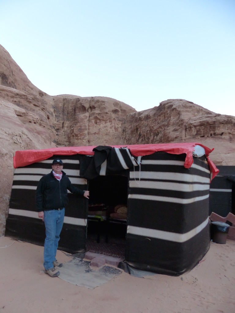
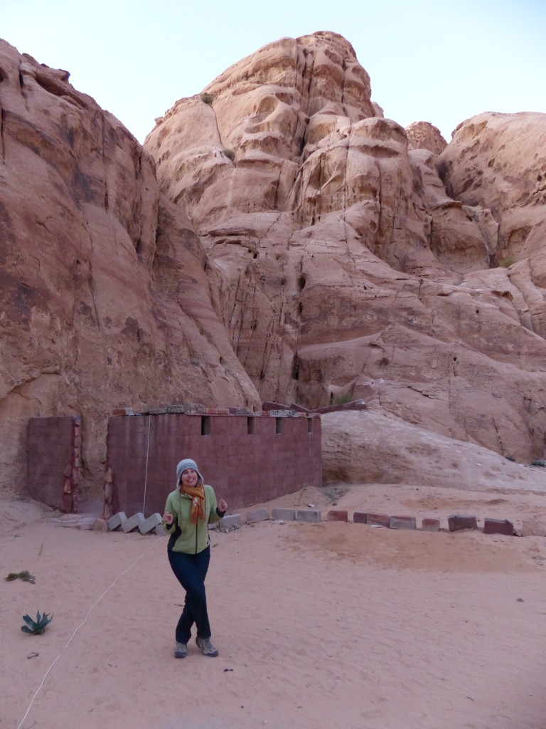
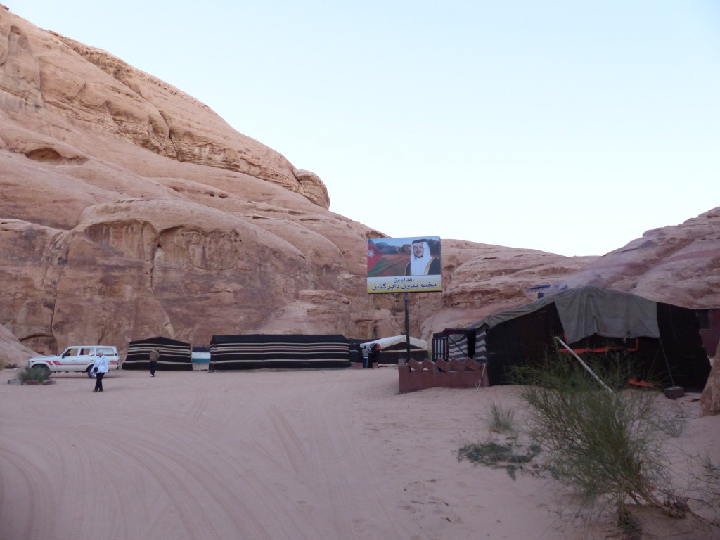
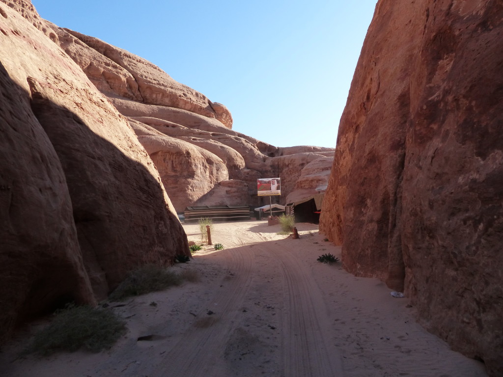
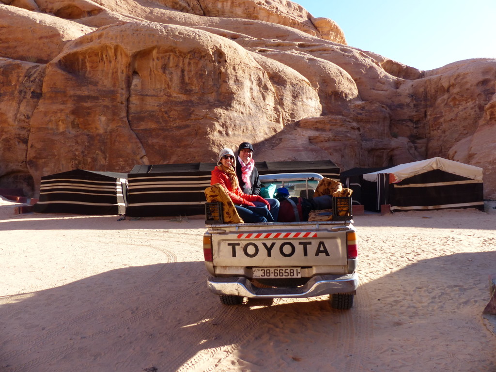
After the sunset, Ahmed drove us to our campsite. We approached Bedouin Directions through a crack in the rock and found the tents protected by high cliffs on all sides. Our tent included four beds, but Tony and I had the place to ourselves. The two toilets were a short walk away.
P1060230

P1060228

P1060233

P1060231

P1060237

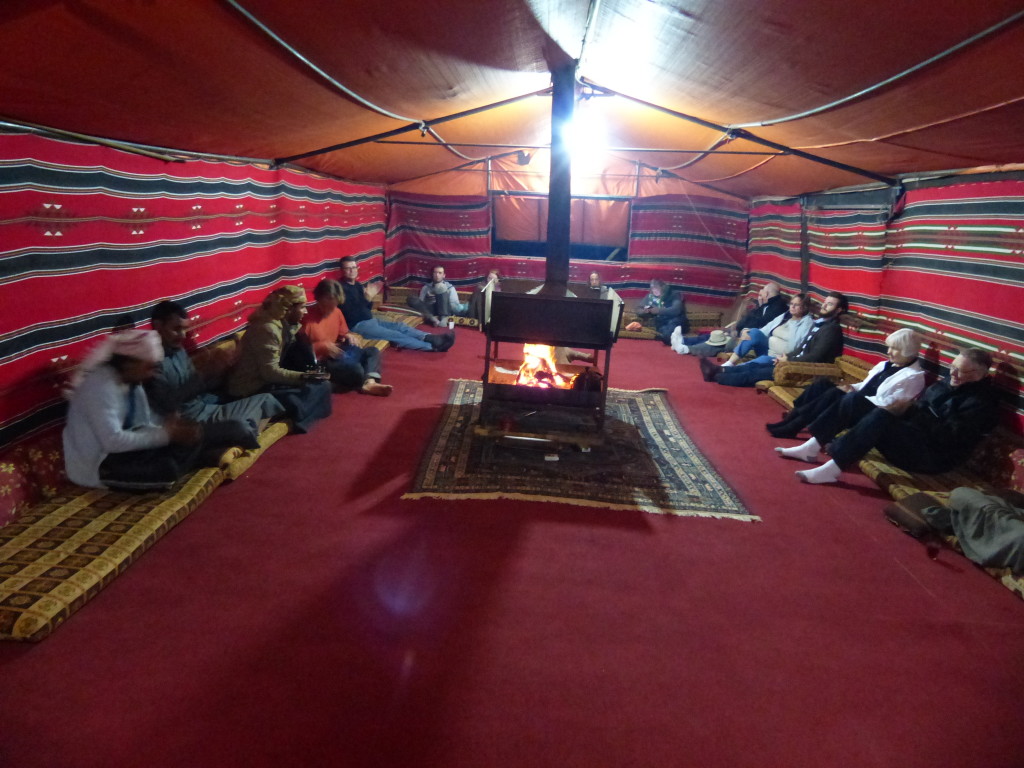
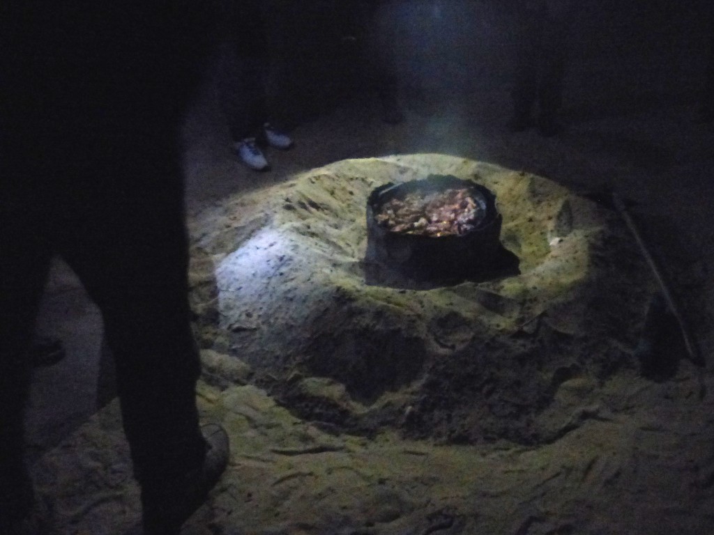
After warming up by the fire in the communal tent, we ate a delicious dinner. One of the camp guides called us outside to watch him unearth the zarb from the sand. The website Jordanian Foods explains this style of cooking:

As ancient and traditional cooking practices go, the zarb is perhaps the most dramatic. It consists of lamb or chicken, sometimes herbs and vegetables, which have been buried in an oven with hot coals beneath the desert sands. When it’s time for the meat to resurface, the sand is brushed away, the lid comes off, and the glorious slow-roasted fragrances billow into the air.
For centuries the bedouin have been cooking like this throughout the Arabian peninsula. When tribesmen roamed across the desert in search of water and pasture for their animals, they kept their cooking equipment to the bare minimum. An earth oven could be dug quickly, and hot embers and stones from the campfire could be placed inside. The meat would be wrapped in palm leaves, and a mound of sand would seal in the heat.

Delicious!
P1060241

Despite wearing long underwear, two long-sleeved shirts, flannel pajamas and my wool hat, and despite burrowing into a silk sack and under the thick blankets, I was freezing. There was no way I was getting up to pee during the night. The combination of the cold and Tony’s coughing meant another sleepless night. No matter. It was otherwise a perfect day and wonderful experience.

Farewell, Wadi Rum!
P1060245

P1060243

P1060242

P1060249

Petra by Night – Jordan Journey, Day 8

After a mellow day, we crossed the street from our hotel to experience Petra by Night.

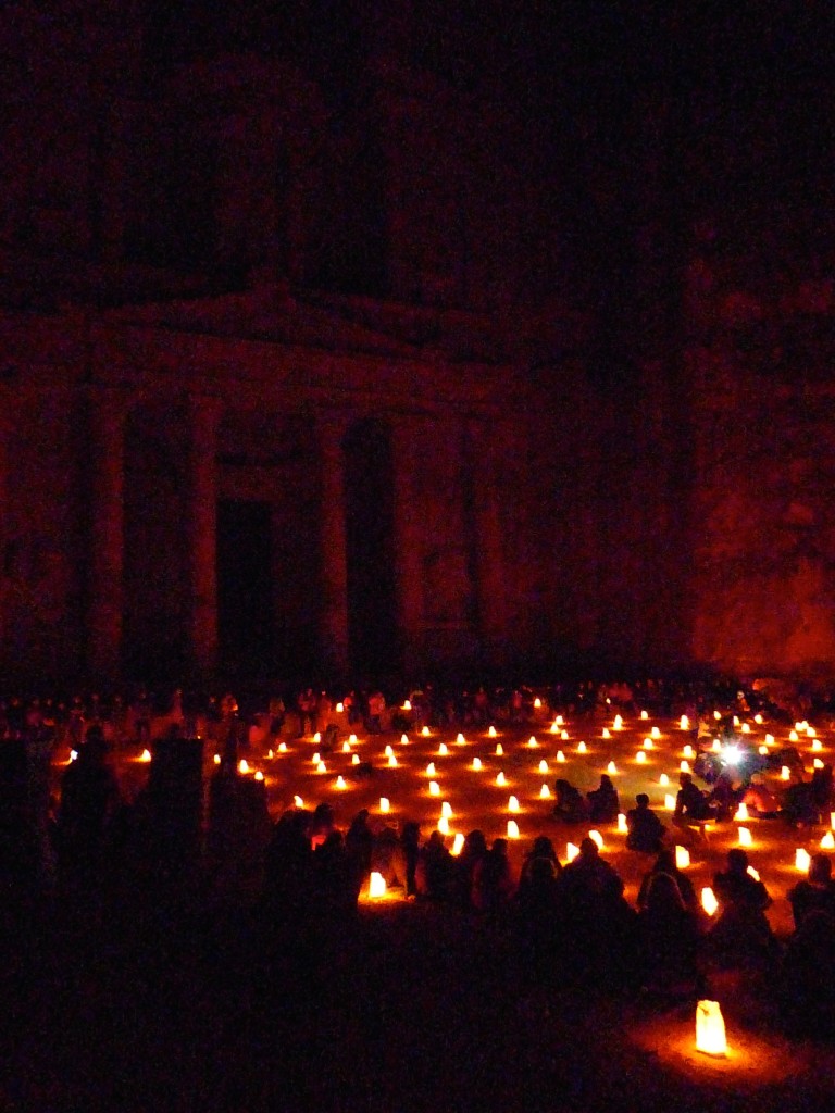
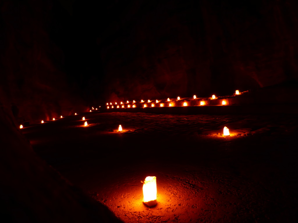
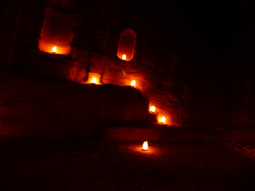
Luminaries lined the moonlit path leading to and through the Siq, glowed from alcoves in the rock walls and filled the open area in front of the Treasury. We joined throngs of tourists for the walk into Petra and sat for a few minutes listening to traditional music. The space soon filled with bodies, though, and despite the park workers’ requests for everyone to sit on the ground, some people refused and blocked the view of the Treasury for those in the back. Tony and I decided to leave the main attraction and walk back slowly through the Siq on our own rather than wait till the end when the mob would spill out.

Ahhhh … peaceful, romantic, magical.

P1060083

P1060087

P1060088

Petra Redux – Jordan Journey, Day 7

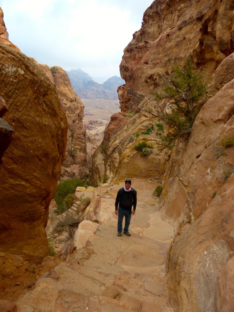
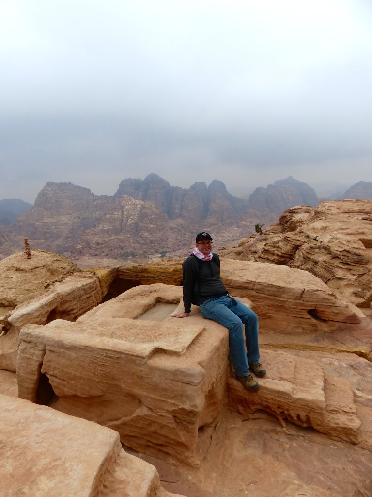
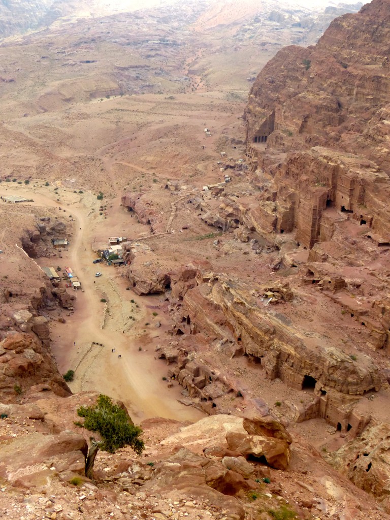
First into the park again on this cold cloudy morning, we chose a trail that would take us to the High Place of Sacrifice. The path was very easy to follow, and yet we took a wrong turn. At one hair-pin bend in the path, I saw steps to the right but for some reason chose to follow the footsteps in the sandy rocks that led straight ahead. It became a joke for the rest of the trip: “I see stairs over there, but I think we should follow these footsteps instead.” We scurried up a steep rocky trail, climbed over boulders and ultimately reached the other side of the mountain. The view was gorgeous, but there was no sign of a sacrifice altar. Looking over our shoulders, we saw two unfortunate hikers had followed us. We backtracked and apologized for leading them astray. The four of us returned to the point where the trail had split, chose the route with the stairs and soon reached our destination.

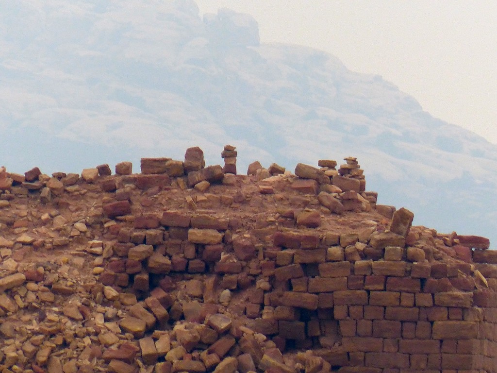
Steps led the way to two obelisks – which were left standing after the hillside around them was cut away, most likely honoring the two most important Nabataean gods, Dushara and al-Uzza. Just opposite were crumbling rock-block walls, which may have been a crusader fort. More steps lead up to the altar, where Nabataeuns probably performed ritual killings of animals. Archaeologists have found no evidence of human sacrifice at this spot, but inscriptions at other Nabataeun sites suggest it happened.

According to the sign at the site:

The cult complex before you includes a rectangular courtyard with three carved benches, or a “triclinium,” and a low table at its center that may have been the seat of the master of the ceremony. An altar stands to the west on which baetyls (stone blocks representing a god) were placed. To the left of this is a platform with a carved circular basin which was possibly used to collect rainwater for purification and a cup-shaped recess with a drain that may have received the blood from sacrificed animals. Sacrificial remains recovered from other Nabataean relicious sites include burnt offerings of cereal grains and livestock.

P1060008

P1060010

P1060012

P1060014

P1060015

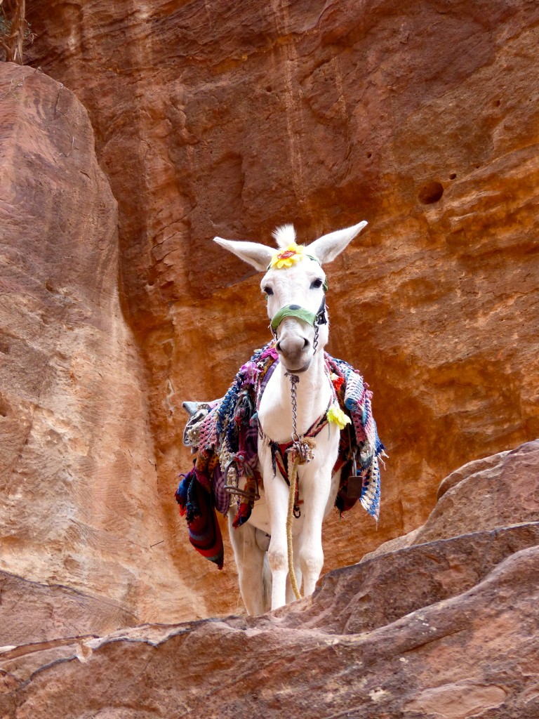
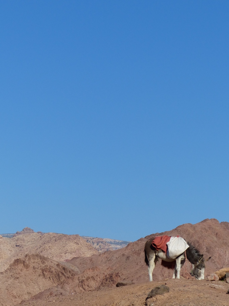
We spotted this well-accessorized mule on the way back down.
P1060020

After a short rest and breakfast picnic, we continued our exploration. One of the highlights for me was discovered during excavation of the Byzantine Church in 1993. Researchers found 140 papyrus scrolls that recorded the goings-on of one extended affluent family in Petra between 528 and 582 AD. The scrolls were carbonized (partially burned, which preserved the writing) in a 7th-century fire. The American Center of Oriental Research has translated the scrolls from their original Greek to find mainly financial documents concerning marriage, inheritance, sales, loans and disputes. From what I’ve read, not many papyri have been found outside Egypt, so these documents are particularly valuable as researchers build their understanding of the 6th-century Byzantine lifestyle in Petra.

A sign at the church included the translation of one scroll. It could have been part of Ancient People’s Court:

List of things which I, Epiphanios, have lost – and I suspect the most reverent Hieros, son of Patrophilos: the big key of the upper floor, two cypresses from the double-roof (?), six birds, a table. When he emptied his apartment, I gave him two rooms to move into, and he did not give me those back.

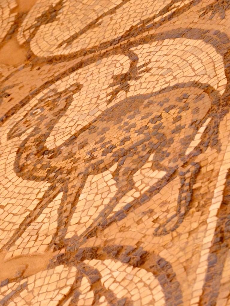
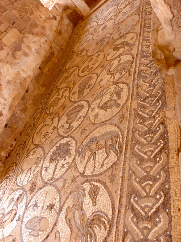
The church, which dates to 450 AD, has well-preserved mosaic floors. Not for the first time in Jordan, we saw mosaic versions of animals the artists probably had never seen, such as giraffes depicted as spotted camels. Hee-hee.
P1060030

P1060031

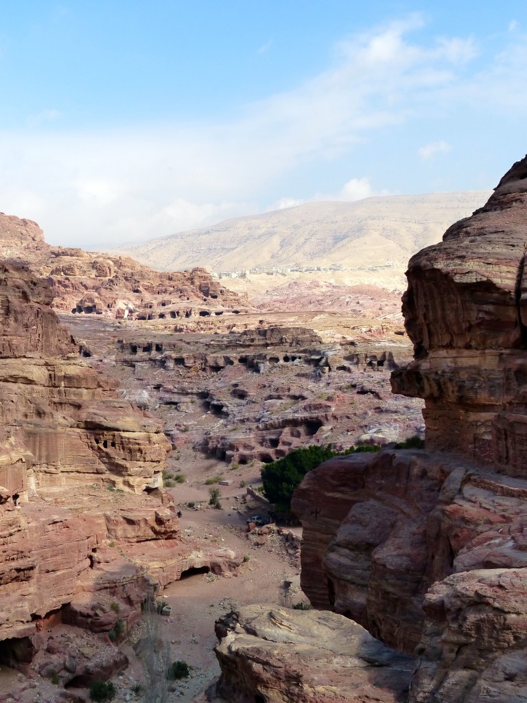
At this point in our visit, the skies cleared, and the sun appeared and warmed our bones, giving us renewed energy to keep hiking. We found a path that passed by the massive Qasr al-Bint, a 1st-century BC temple, and wound up around the cliffs of Al-Habees, a large hill topped by the ruins of a 12th-century crusader fort. On this trail, we saw many uninhabited caves, deserted in the 1980s when the Jordanian government relocated cave-dwelling Bedouins to a nearby village in response to Petra’s new UNESCO World Heritage Site status. On the west side of the hill, we had breathtaking views of Wadi Sayyagh, a valley full of lemon trees, I was told.
P1060061

P1060063

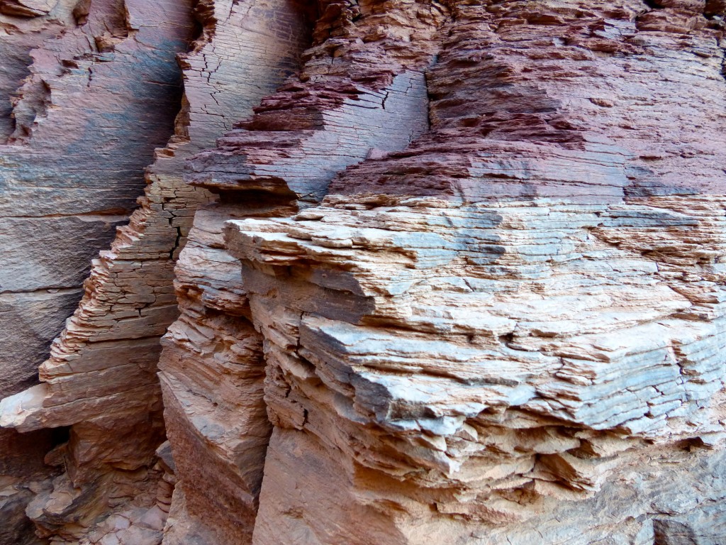
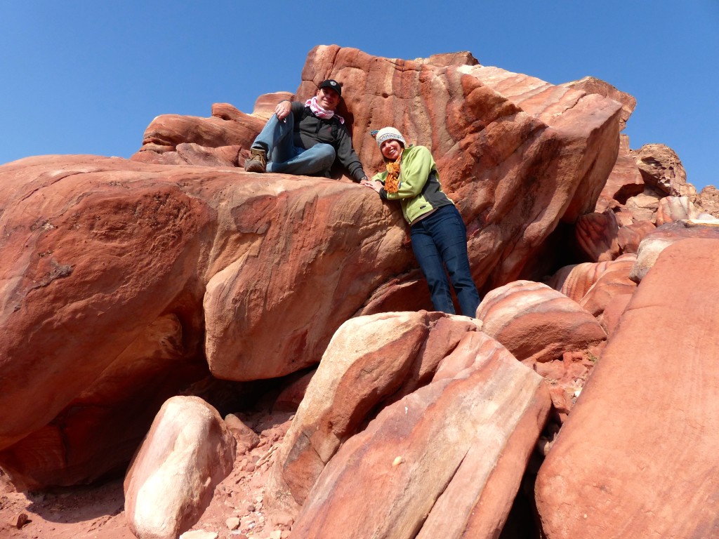
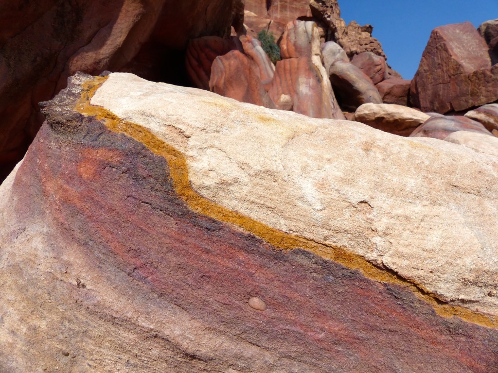
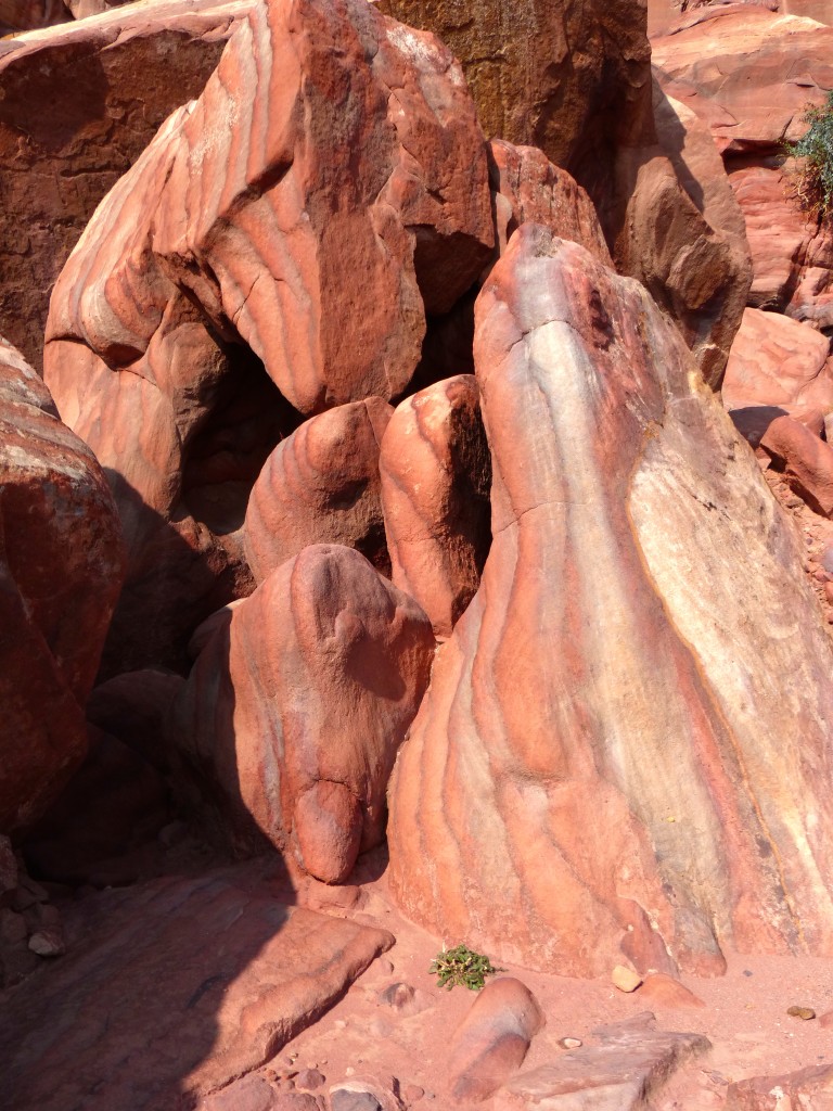
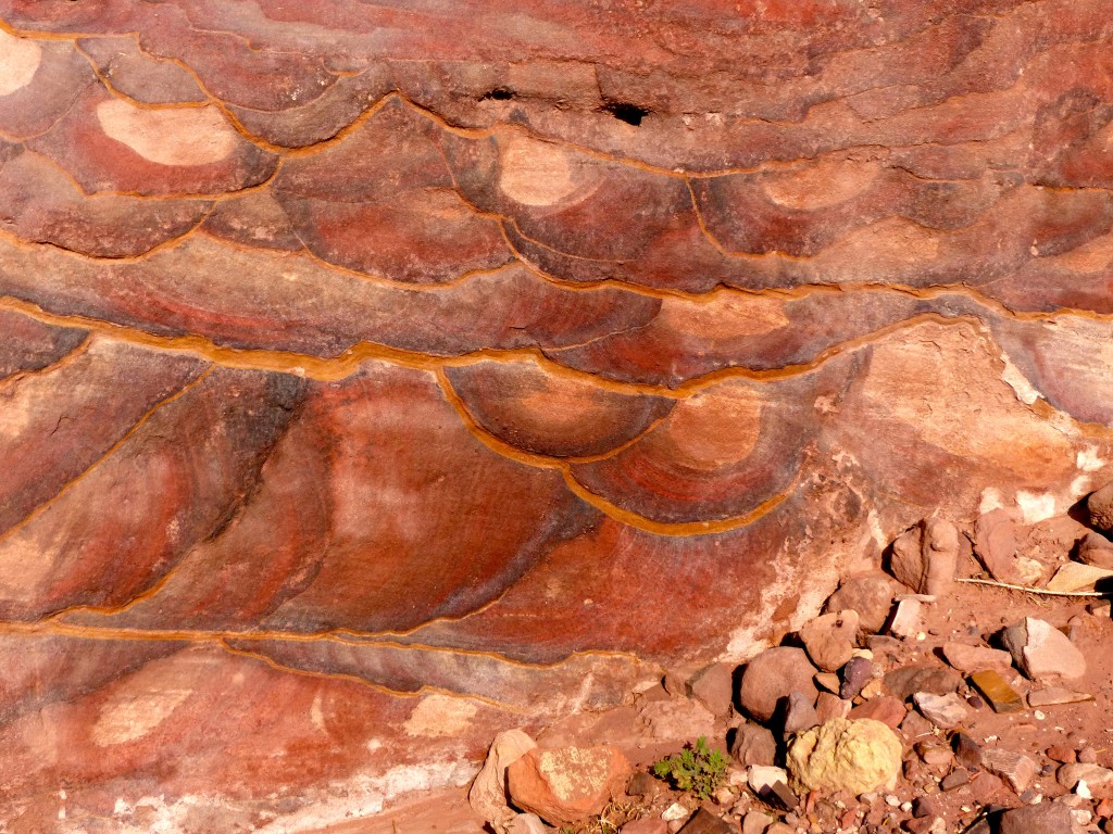
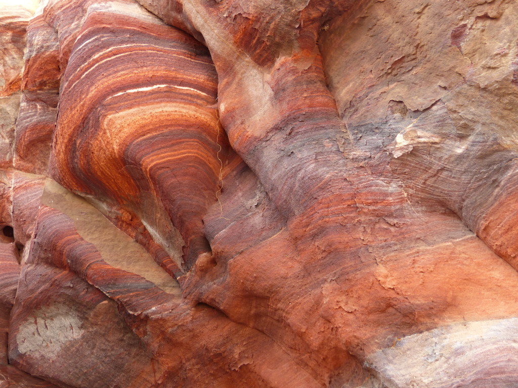
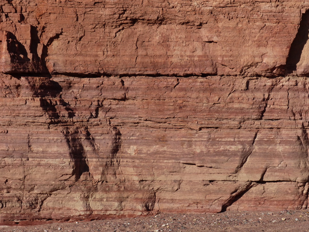
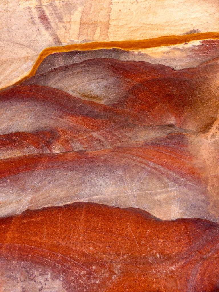
We also encountered rocks painted over millennia by mineral deposits and erosion. Stripes and swirls of crimson, salmon, ecru, peach, saffron, sepia, silver, jet black and more. I became obsessed with a bright yellow stripe I found on many rock formations. Nobody could tell me what it was. Get ready for a bunch of pictures of rocks. I couldn’t resist.
P1060051

P1060052

P1060057

P1060059

P1060066

P1060071

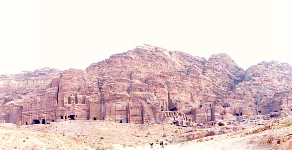
We poked around a few other areas of the park, and I took this panorama shot of the Royal Tombs on our way out. It’s overexposed, but I like it anyway.
P1060073

Petra – Jordan Journey, Day 6

The ancient city of Petra, carved into the sandstone mountains of southwest Jordan starting in the 4th century BC, is listed on nearly every website touting “The Top 25 Places You Should See Before You Die!”

Many travel bloggers say you can see the main archaeological sites in a day or less, but Tony and I easily could have spent weeks climbing the rocks, exploring the ruins, marveling at the morphing colors from dawn to dusk, and conjuring up mental movies of Nabataean life.

The Nabataeans were known for controlling trade routes and for hydraulic engineering systems, including water conservation systems, dams and an infrastructure for delivering water to the community through pipes and channels.

The Visit Petra website offers some background:

It is not known precisely when Petra was built, but the city began to prosper as the capital of the Nabataean Empire from the 1st century BC, which grew rich through trade in frankincense, myrrh, and spices. Petra was later annexed to the Roman Empire and continued to thrive until a large earthquake in 363 AD destroyed much of the city. The earthquake, combined with changes in trade routes, eventually led to the downfall of the city which was ultimately abandoned. By the middle of the 7th century Petra appears to have been largely deserted and it was then lost to all except local Bedouin from the area.
In 1812 a Swiss explorer named Johannes Burckhardt set out to ‘rediscover’ Petra; he dressed up as an Arab and convinced his Bedouin guide to take him to the lost city. After this, Petra became increasingly known in the West as a fascinating and beautiful ancient city, and it began attracting visitors and continues to do so today.
The Nabataeans buried their dead in intricate tombs that were cut out of the mountain sides and the city also had temples, a theater, and following the Roman annexation and later the Byzantine influence, a colonnaded street and churches. In addition to the magnificent remains of the Nabataean city, human settlement and land use for over 10,000 years can be traced in Petra, where great natural, cultural, archaeological and geological features merge.

Tony and I were the first in line at the entrance gate – with only a few others behind us – when Petra opened at 6 a.m. both Sunday and Monday. We started both days with challenging hikes that took us away from the regular stream of tourists, so we experienced Petra in peace for a few hours each morning. Being together and alone in such a mystical place made our visit even more special.

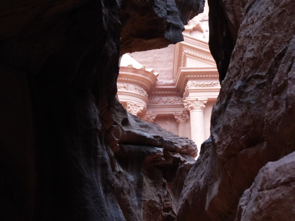
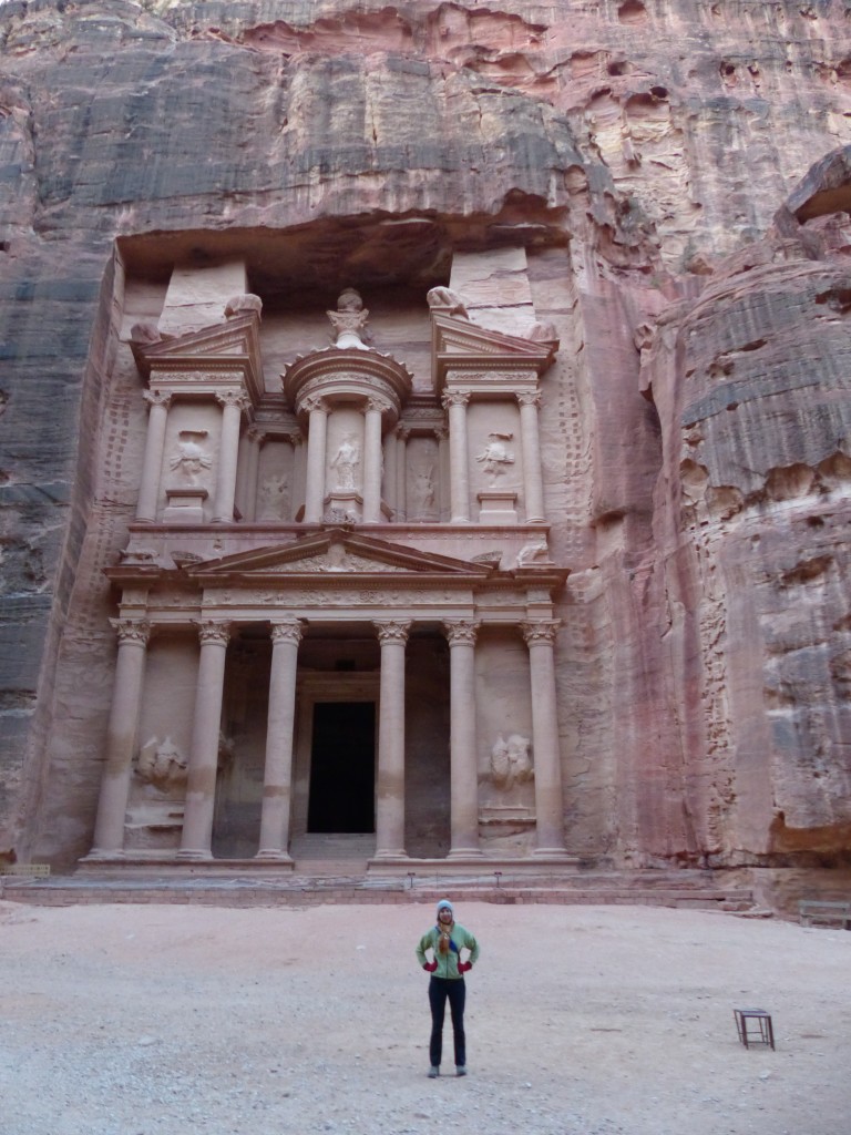
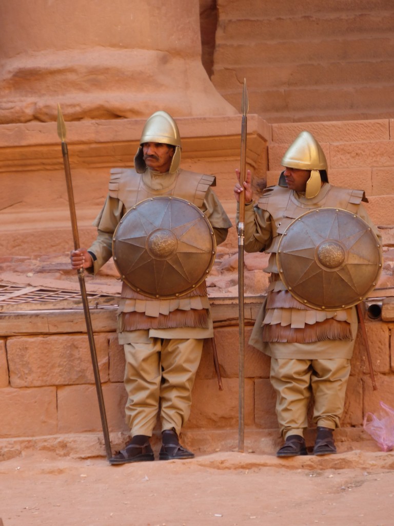
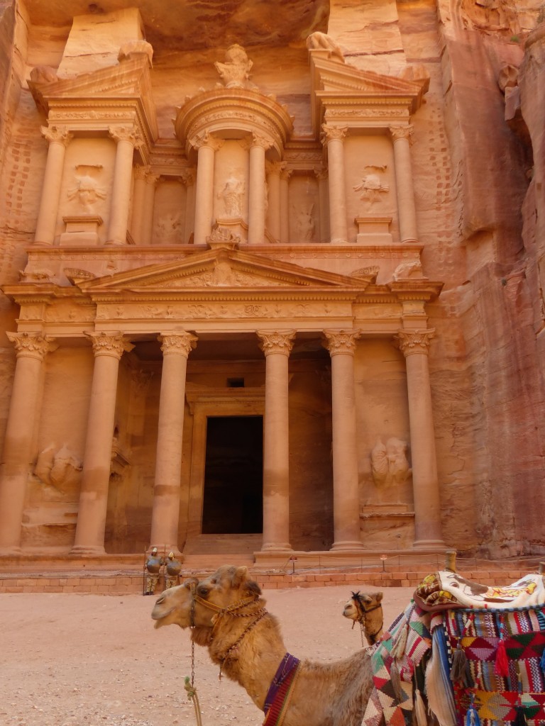
With a little help from “Indiana Jones and the Last Crusade,” Petra’s Treasury continues to mesmerize the world. The Siq, a split in the rock that creates a 1.2-kilometer path to the Treasury, helps to set a mysterious tone. We power walked from the visitors center to the Siq and then slowed down to appreciate the setting. Rock walls towered above us – some as high as 80 meters, and the path twisted and turned, refusing to provide a glimpse of what lay ahead. Finally, through the dark channel, we spotted the Treasury. Deserted at dawn, it was mobbed by early afternoon with tour groups, Bedouins hawking camel rides, Nabataean “guards” posing for photos, and other circus-like chaos.

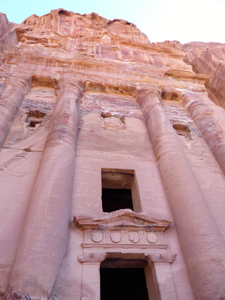
The Treasury got its name because Bedouins thought the carved urn on top contained riches, but the Treasury’s real purpose is disputed. Some archaeologists think it was a temple; others believe it was used to store important documents. Unlike the sprawling and magical interior of the Indiana Jones movie, the Treasury comprises only three small chambers.

P1050996

P1050927

P1050995

P1050994

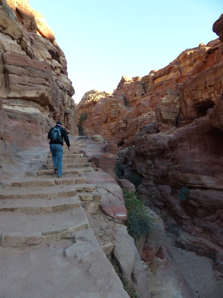
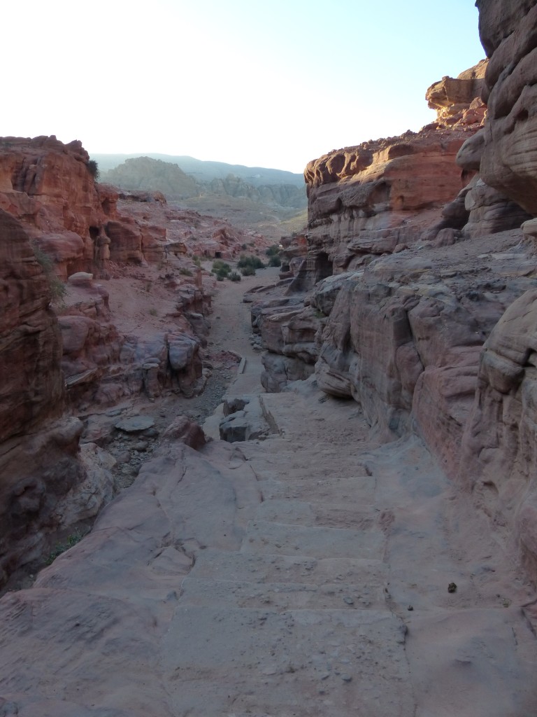
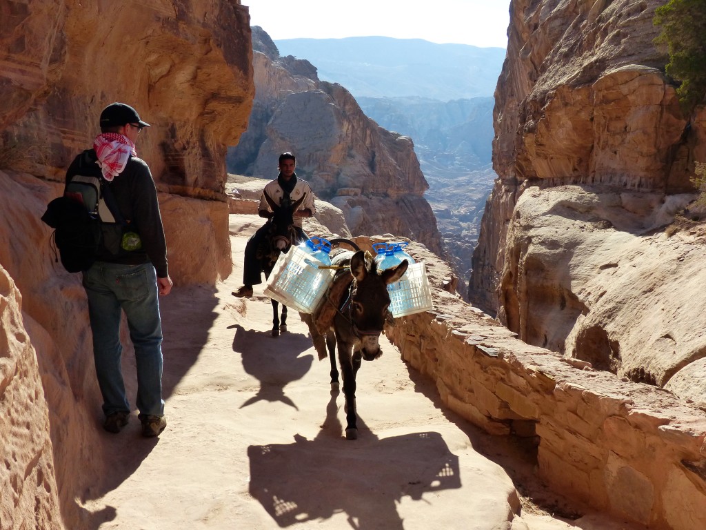
On our first visit, we headed straight for the Ad-Deir Monastery. Although many other interesting monuments and ruins lined the path, we tried not to dawdle. I had been warned about the crowds, and I wanted to hike in peace. We agreed to visit the rest of the sites later. The tortuous trail up the mountain included about 800 steps cut into the rock. At the top, we rounded a corner and saw another hill a short distance away. We figured that was our final destination. Stepping down a few stone steps, I looked to my right and realized we were there. The people on the hill were just enjoying the view!
P1050935

P1050936

P1050939

P1050940

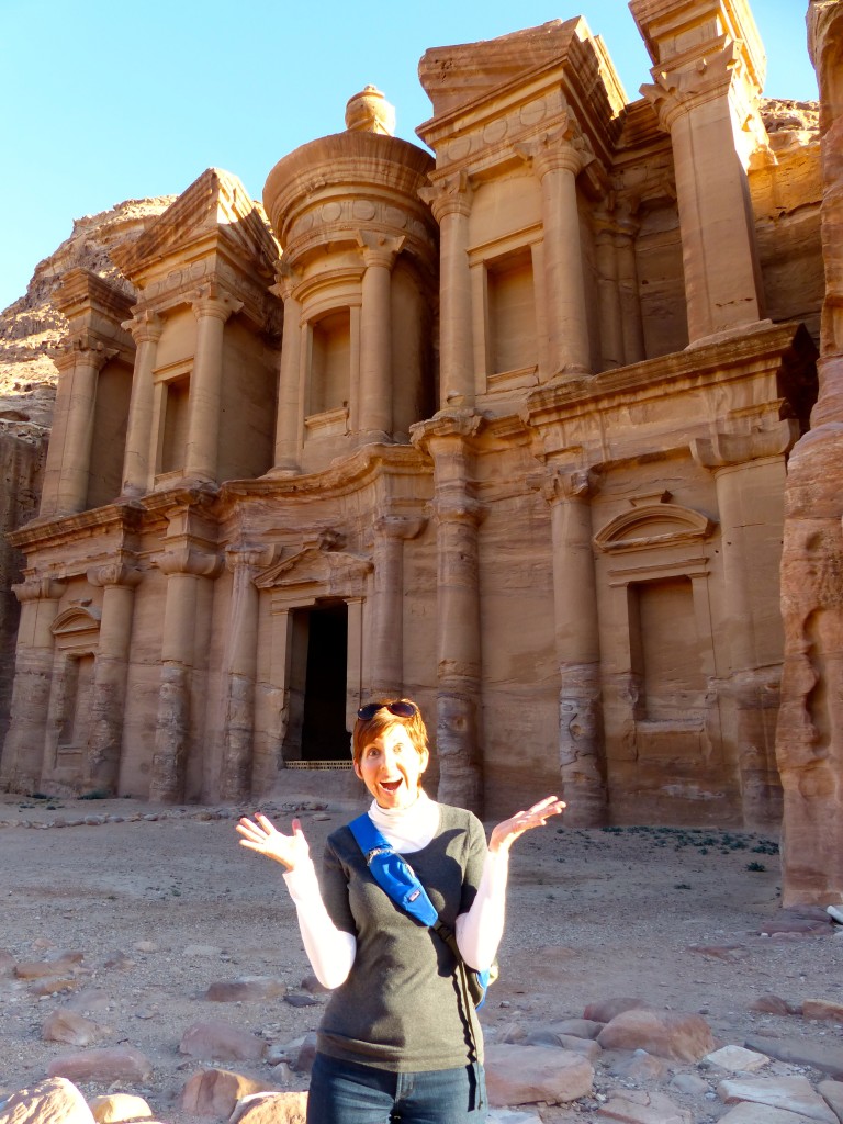
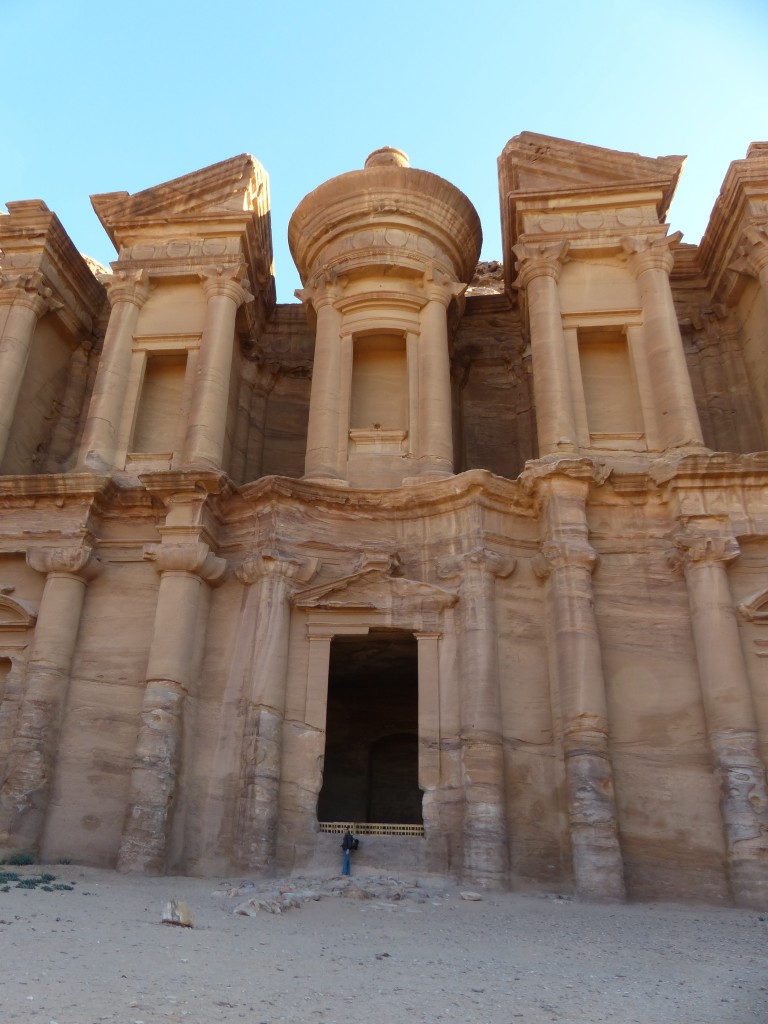
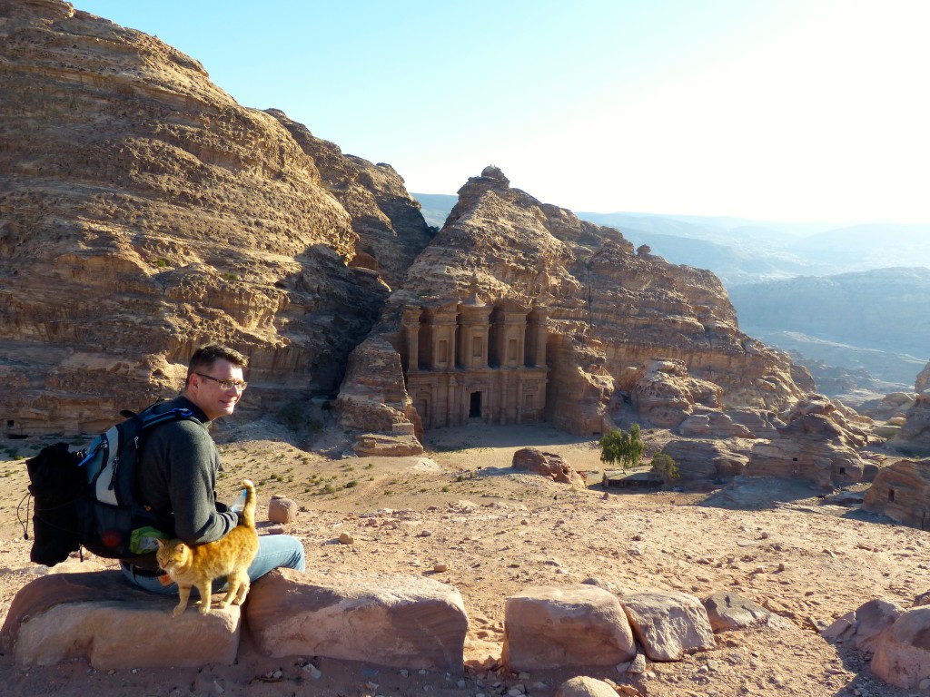
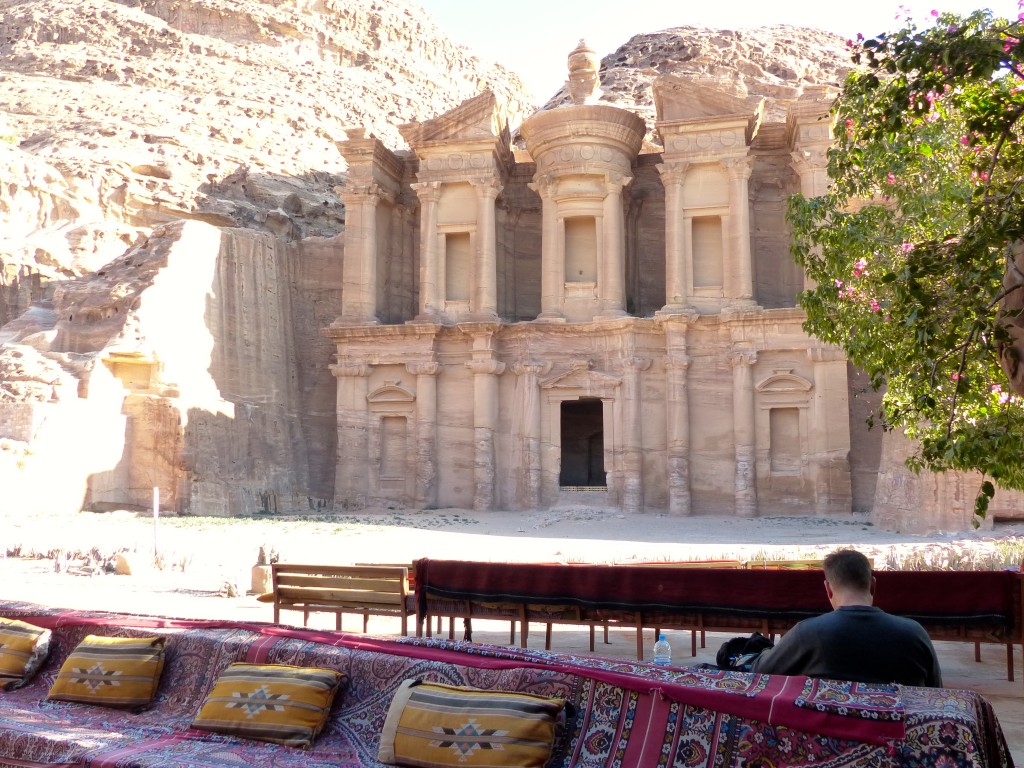
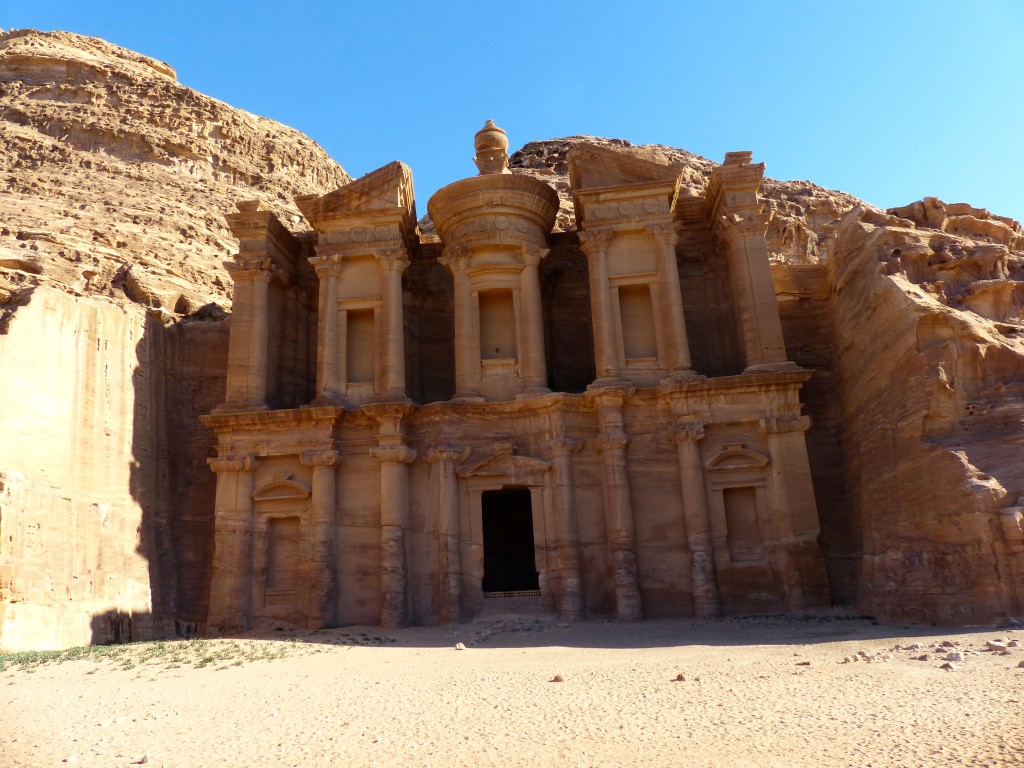
The monastery wasn’t really a monastery. It was most likely a 1st-century temple and may have been repurposed by later Christians, as evidenced by small crosses etched inside. The facade is huge, bigger but less fancy than the Treasury. That tiny dot in the doorway is Tony.
P1050947

We climbed up the aforementioned hill to see the view, and then took a break at the tea stand opposite the monastery to eat our breakfast picnic.
P1050952

P1050959

P1050960

On the way down…
P1050962

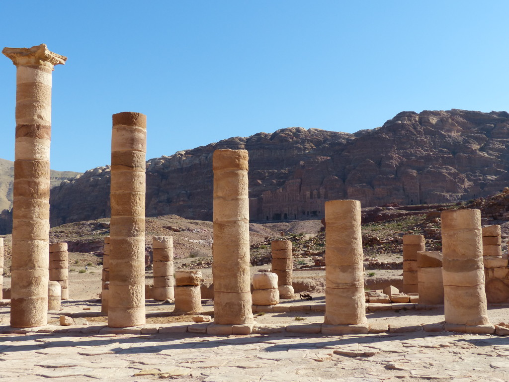
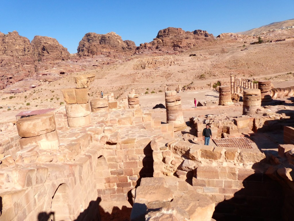
Back on Petra’s main drag, we tromped around the Great Temple. Brown University (Providence, Rhode Island) heads up the international excavation project of the temple and has documented their work, as well as lots of great history, on their website: Petra – The Great Temple Excavation.
The temple is the largest freestanding structure in Petra, but there were no physical signs of its existence before Brown began its excavation in 1993.
P1050967

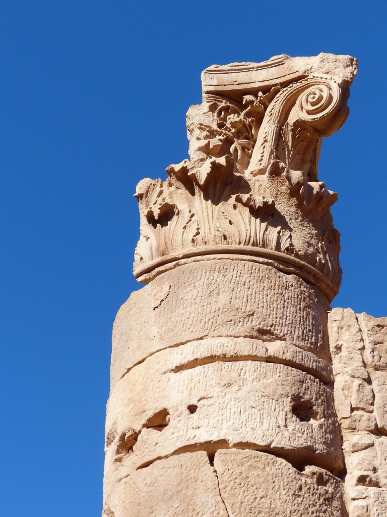
AES 10th graders: This word will be on your test over Oedipus. Don’t say I didn’t warn you.
P1050968

P1050969

P1050971

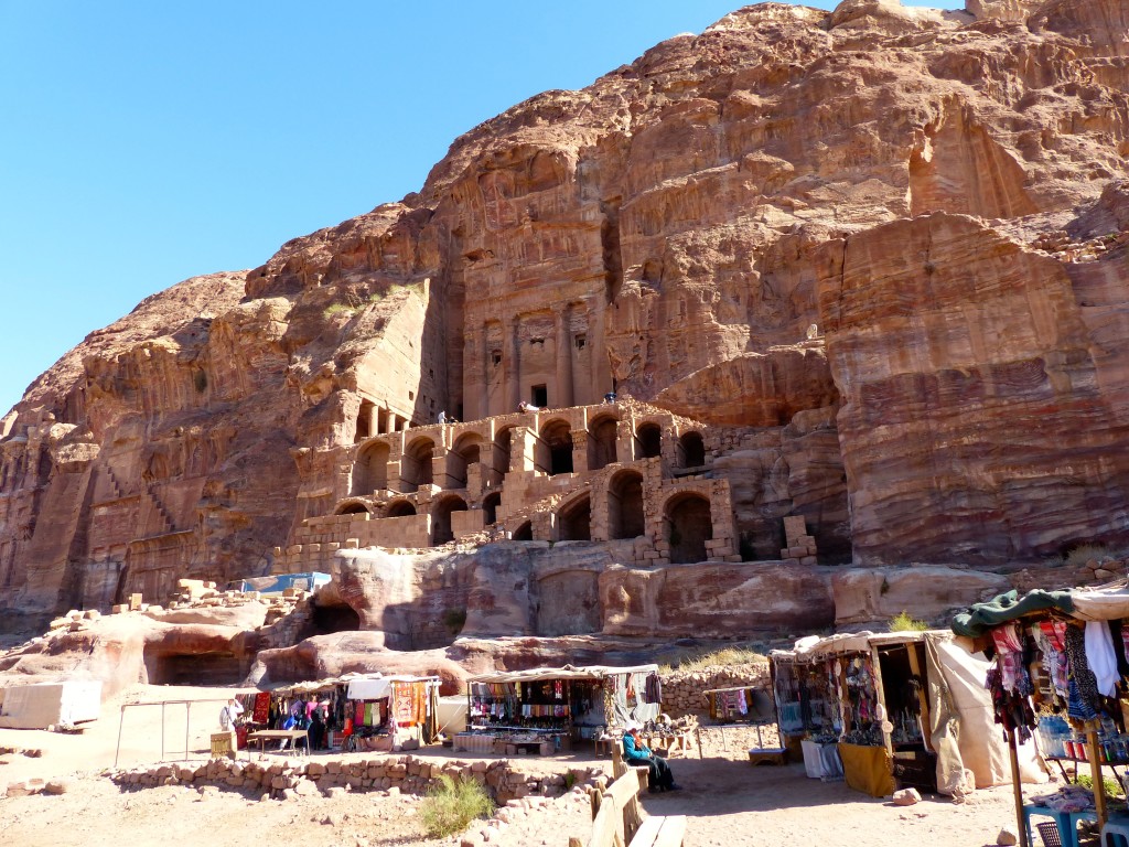
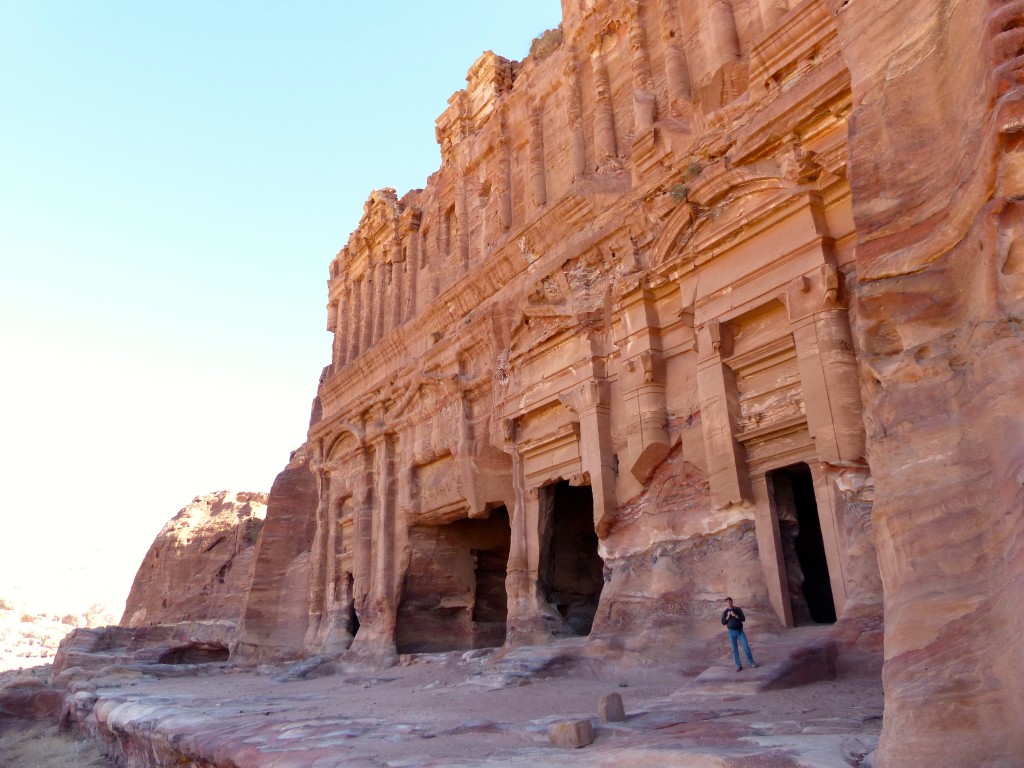
We also explored the Royal Tombs, which were carved to house the tombs of Nabataean dignitaries. Despite the obvious erosion, I found this strip of facades even more impressive than the iconic Treasury.
P1050986

P1050982

P1050973

P1060073

Later that evening, we walked to Petra Kitchen for a “cuisine class.” I forgot my camera – doh! I was hoping for an intimate experience of culinary stories and traditions, but there were about 20 people and the fast-paced class aimed to introduce us to many different local dishes. We chopped tomatoes, garlic, chilis, parsley, onions, and roasted eggplant. I kneaded some dough for a few seconds and stirred a pot of lentil soup, but otherwise the cooks did all the work. (Don’t get me wrong. The cooks were informative and helpful, and we even saw them the next morning in the Movenpick Hotel restaurant, so they clearly know their stuff!) Mostly, it was an evening to meet people and eat delicious Jordanian dishes. We “made” and devoured lentil soup, babaganoush, fatoosh salad, tahina salad, tabbouleh, cucumber and yogurt salad, galayat bandura (a hot tomato-y dip or spread), sambousek (small pastries with cheese or thyme toppings), and magluba (a one-dish meal of rice, chicken and vegetables that means “upside down” because you invert the pot onto the serving dish). We chatted with people from the Netherlands, Russia, Australia, and … Michigan (but they live in Singapore). Fun!

Getting to Petra – Jordan Journey, Day 5

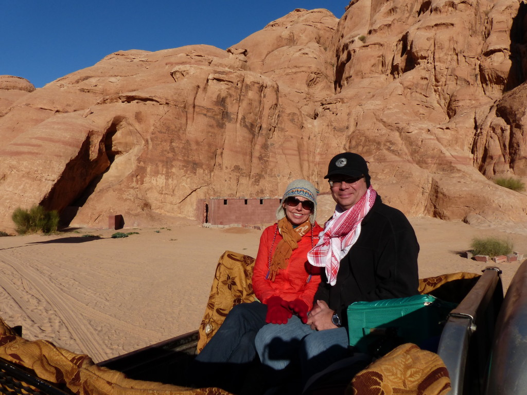
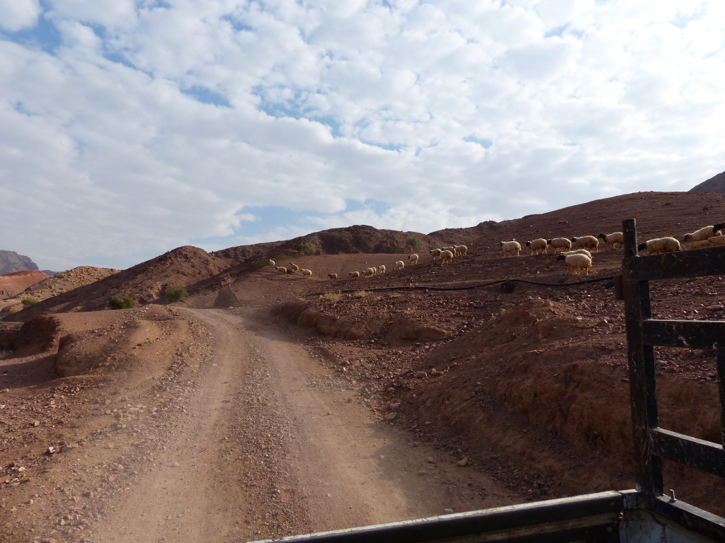
Feynan Ecolodge hires local Bedouins to transport guests to and from the reception center. For our departure, I rode in the back of a rattletrap pick-up, nearly popping out every time we hit a rut in the dirt road. (Decades ago, a similar ride resulted in a broken collarbone.) I tried to snap some farewell photos of the hillsides coming to life in the morning light, but it took most of my strength and balance to stay in the truck. Little did I know this wouldn’t be the most dangerous drive of the day.
P1050896

Rather than drive from Amman to take us the relatively short distance to Petra, George had contracted with a local driver. When we arrived at the reception area, Ali introduced himself and gestured toward another pick-up. This time, I sat in the back seat; Tony sat up front. Ali’s limited English meant our questions went unanswered, and we could only assume he was the driver sent by George.
“How much minute to Petra?” I asked, using my best ESL.
“One o’clock and 30,” he answered.
Hmmm… did he mean one and a half hours? Or did he mean we would arrive at 1:30? No way to know.

George had told us that the driver would take a beautiful road to Petra through Wadi Namla. “It is bumpy road, but very beautiful,” he had said. So we weren’t too surprised when Ali veered off the paved highway. However, we soon reached a dead end at the base of the mountain, where a sign read, “Danger! Road Closed!” Ali calmly maneuvered around the sign and onto a rocky winding path without a word. Tony and I made nervous eye contact but didn’t speak. At one point, Ali steered off the “road” and onto a clearing of rubble. Trying to circumvent a huge rock, he gunned the engine, but the tires simply spun loudly, shooting rocks and gravel like machine gun fire. After getting out for a quick survey of the situation, he tried a different tack and safely passed the rock. We rocked and bumped and skidded for awhile before joining back up with the main dirt road.

Later, Tony and I laughed about that moment. We both had the same sudden fear: Ali was NOT the driver hired by George but rather some crazy terrorist who was taking us out to the middle of nowhere to hold us for ransom. Funny in retrospect. Not so much at the time.

Anyway, the rest of the trip was ridiculously scary with Ali driving precariously close to the mountain’s edge and often whipping around bends at speeds that would send us flying off the hillside if suddenly faced with oncoming traffic. Yes, the views were spectacular, but we felt too anxious to stop for photos. As we zig-zagged down the backside of the mountain and had nearly reached asphalt, a small rental car pulled up alongside us. A young American guy rolled down his window and asked Ali, “Can I make it in this car?”
Tony and I both yelled, “No way! Don’t do it!”
Ali said, “This car no good. No good.”
The guy laughed and said, “Even if it’s not my car?”
Tony leaned over Ali and told the guy, “It’s not that you’ll destroy the car, which you will, but the car literally won’t be able to get you to the other side.”
“Oh well, there’s another road, so it’s no big deal,” said the guy. “We’ll turn around.” Whew!

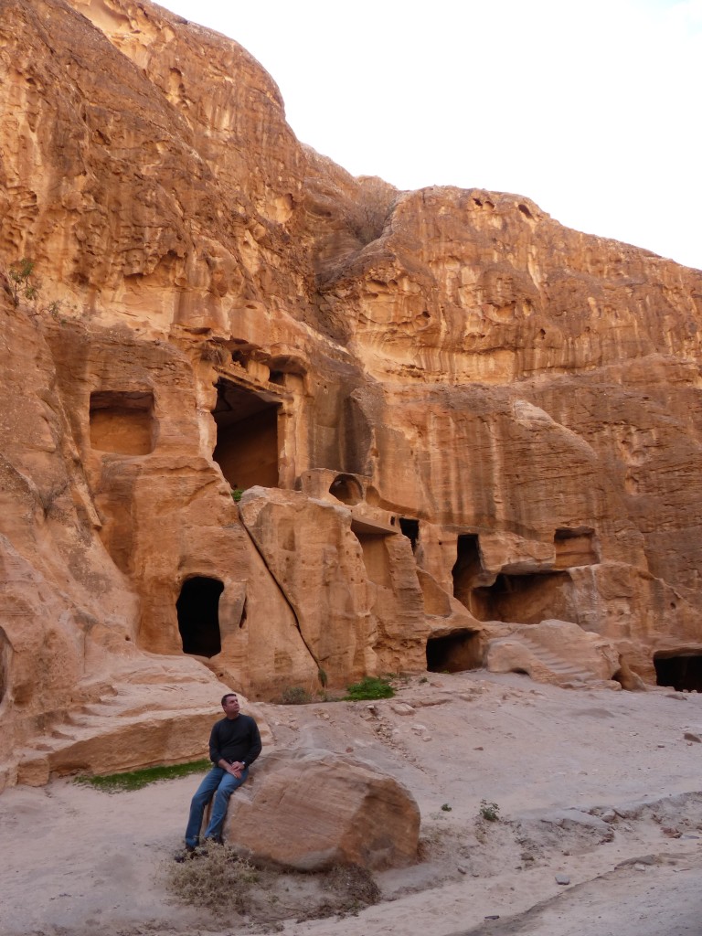
Eventually we reached Little Petra (Siq al-Barid). Because I had done woefully little research on this site and Ali couldn’t fill in the blanks, Tony and I didn’t know what we were seeing. We climbed around on some of the rocks, read a couple of the interpretive signs and told Ali we were ready to go.
P1050904

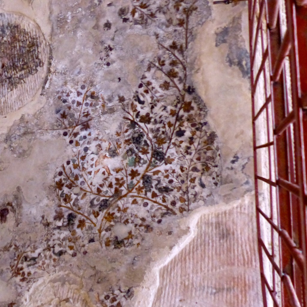
This ceiling features a painting from the 1st century AD in a space called The Painted Biclinium. The little cave room has benches carved along two of its walls. (I now know “biclinium” is the Latin word for a dining couch for two people.) Imagine painting your dining room ceiling with a fancy design to be discovered by archaeologists 2,000 years later!
P1050905

Ali delivered us to our hotel in Petra in time for lunch and kindly waited while we checked in. We thanked him profusely for getting us there alive, but he just laughed, waved and drove off.

Serenity Now! Feynan Ecolodge – Jordan Journey, Days 3 & 4

Christmas Eve
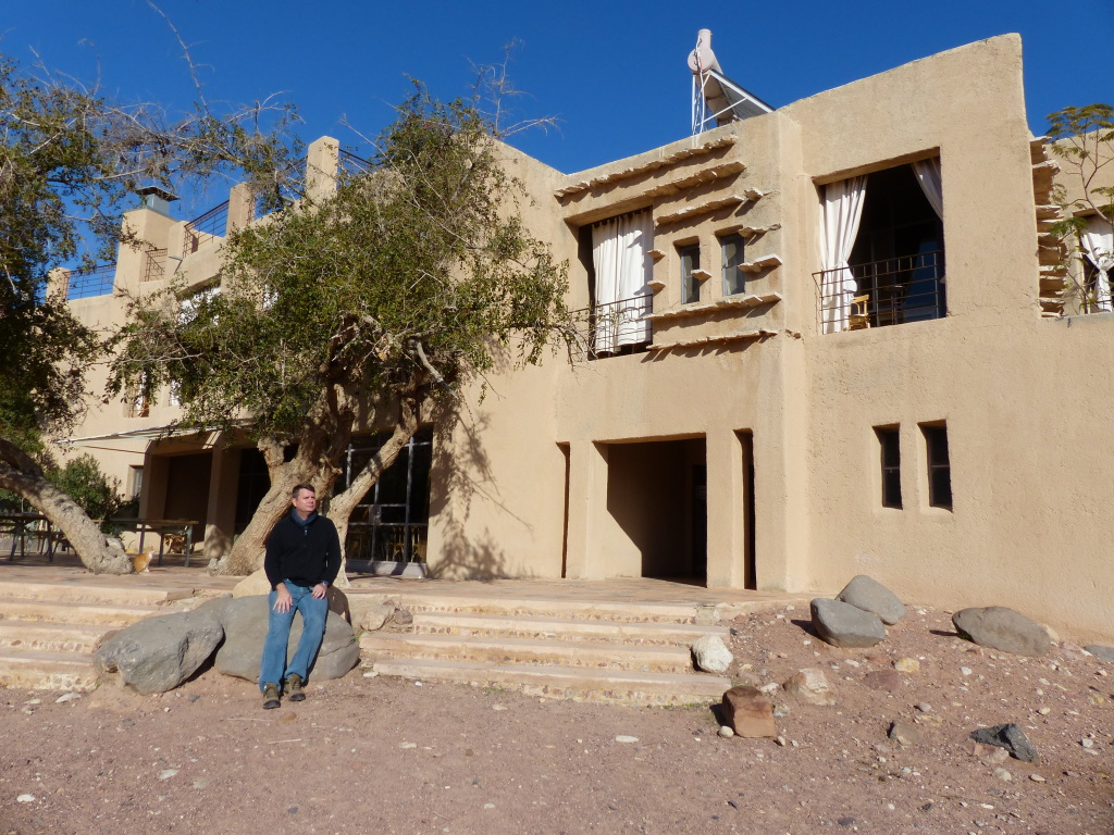
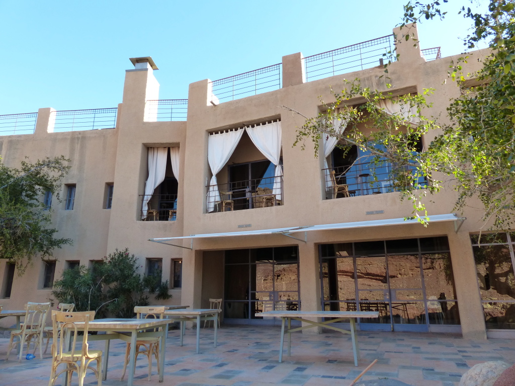
George dropped us off for two nights at the Feynan Ecolodge reception building, about 15 minutes from the lodge (on a road requiring 4-wheel drive). After a short briefing by a young Bedouin man named Suleiman, we were shown to our room. Simple but clean, it overlooked the hills of the Dana Biosphere Reserve. We were ready for some fresh air and serious peace and quiet.

P1050776

P1050822

The Feynan Ecolodge website explains:

The Wadi Feynan area was historically one of three main copper mining hubs in the world. For 30 years, the Natural Resource Authority in Jordan had set up camp in Feynan, scouting and assessing the area with the nostalgic hope that perhaps there was enough copper in those mountains to provide the country with a much needed natural resource. The results always came back the same; after 3-4 thousand years of heavy exploitation, all that remains is a lower grade of copper that would require blasting an 8 square kilometre hole to extract. It was not economically viable and would be environmentally disastrous, so the Royal Society for the Conservation of Nature maintains a constant vigil to resist attempts to exploit these meagre reserves. The lodge was created by the RSCN to offer the local Bedouin communities much needed economic opportunities and provide a sustainable alternative to open cast copper mining. Throughout the 30 years of copper exploration, the Natural Resources Authority was hopeful that things were going to change for them. And they did.

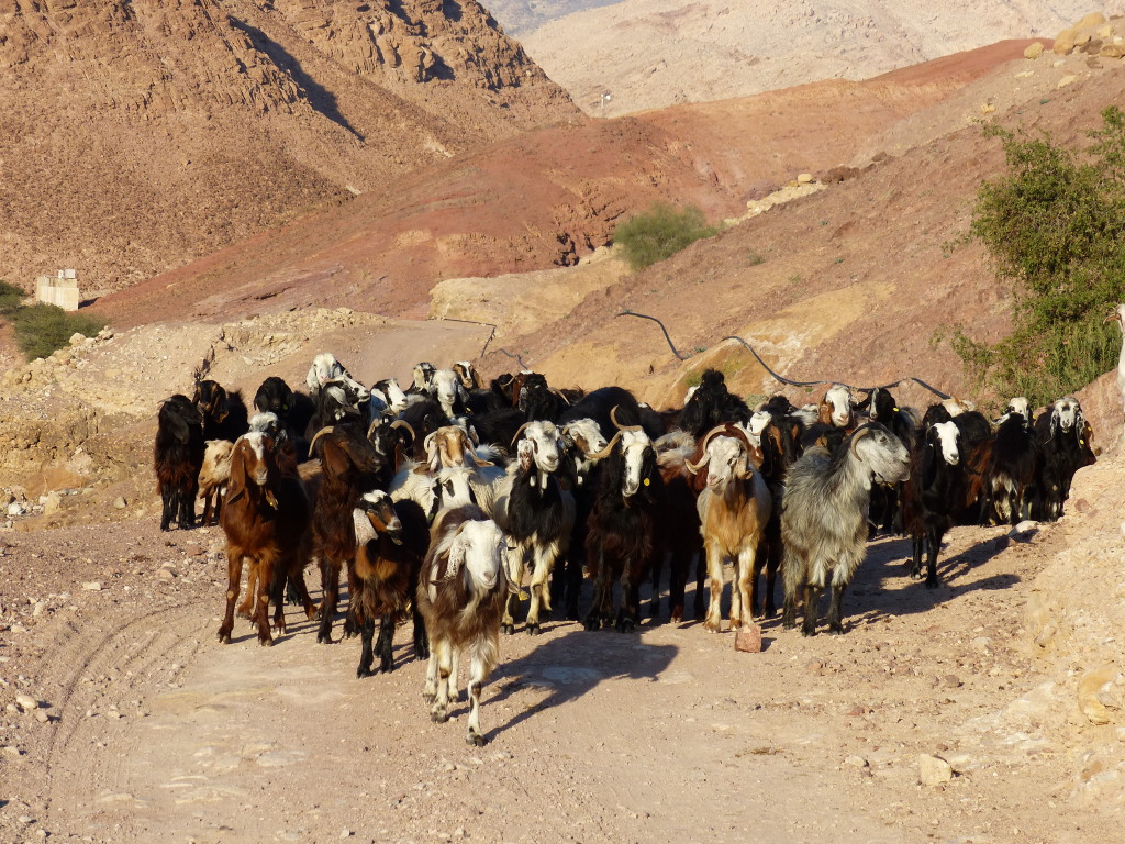
Suleiman took us, along with two other couples, a short distance up the road for a sunset hike. He paused occasionally to tell us a bit about his life here. He has four brothers and three sisters, and they live in a big tent near the ecolodge. It’s their winter spot, protected from the cold winds on three sides by small hills. They moved there three months ago from their summer spot, a little further up the road, which provides shade from the blazing sun. His family keeps sheep and goats. The sheep stay in a pen, but the goats must be taken to graze and then brought back home every day. Suleiman said any member of the family can be the shepherd for the day, whoever has time to do it. The goats generally stick together, and their ears are tagged to show they belong to Suleiman’s tribe. Sometimes they mingle with other goats, but they tend to find their way back to their herd, he said. As we stood by the side of the road chatting, Suleiman said, “That’s my brother on the donkey.” The boy bounced by with a greeting, and moments later, the goats crested the small hill. They stopped and stared at us for a minute before passing by.

P1050790

We continued walking, past the primary school and the mosque and paused at a rocky clearing. Suleiman gave us a couple options. He said we could walk downhill to a tree that promised nice sunset shots, or we could walk up to a hilltop for a bird’s eye view. We chose to go up. The view was gorgeous with a riverbed cutting through the rocky hills. Back at the clearing, Suleiman served us all sweetened sage tea and we chatted with the other couples.

P1050794

P1050802

P1050805

P1050808

The call to prayer rang out from the small mosque across the road. I asked Suleiman if it was a live imam or a recording. He pointed to some young boys playing soccer and said their father was the imam, who sang the call to prayer live each day. Not only five times a day either. The imam gave everyone a heads-up call to prayer about 15 minutes before the real one, and Suleiman said the morning call to prayer was a bit different than the others: it included a line about how much better it is to pray than to stay in bed. This imam clearly knows his clientele. His wife makes the bread served at the lodge, and her little soccer-playing boys are the deliverymen. That interconnectedness in the community is a deeply embedded facet of Bedouin life, Suleiman said. “We take care of each other,” he said. “If my hand hurts, everyone’s hand hurts.”

When we returned to the lodge, it was glowing. The lodge strives to use as little electricity as possible, so the whole place was lit with candles, luminaries and lanterns. We could barely see the food on the dinner buffet, but I think we ate a selection of mezzehs, some pickled vegetables, and a few hot vegetarian dishes, including a yummy something with eggplant. Dessert was a milky pudding with bits of biscuit inside.

A French family with three little girls ambushed our attempt to hang out by the fireplace, so we retired to the roof for some stargazing. Oh, I honestly think I have never seen stars like that in my life! The entire sky sparkled as though one of my second graders had spilled silver glitter on a blanket of black velvet. I couldn’t even make out the constellations, except for Orion’s Belt, because they were out-illuminating each other.

We attended the lodge’s short presentation about its ethos regarding local sustainability. Tony could barely keep his eyes open, and I also felt sleep taking over me. By 9 p.m., I had bundled up in long underwear, flannel PJs and thick wool socks and snuggled under the heavy cotton comforter. Tony’s cough kept us awake for some of the night, but we both found a few hours of rest.

A Columbian living in Denmark, a Brit living in Spain and two Americans living in India meet for coffee in a Bedouin tent…
Sitting on our small balcony early the next morning, I could see the lodge’s back deck, the gravelly dry river bed and the striated red hills that reach up to a brilliant blue sky. Suddenly, I heard crunching patter and bleats of approaching goats. About 20 of them trotted up to the lodge. Most aimed for the scrubby bushes a short distance away, but a few couldn’t resist the allure of hopping up the steps to check out the deck. Nobody was there. No food. Nothing of interest. Some wandered off. Some stuck around, climbing as high as they could up the olive tree’s lower branches to nibble on the leaves.

We had signed up to learn about Bedouin coffee after our breakfast of typical Jordanian treats: dates, pickled veggies, deliciously fresh white cheese sprinkled with poppy seeds, deep red tomatoes, cucumbers, hummus and thin flat bread.

Around 9 a.m., we joined Suleiman and two others (Sonjia, the Columbian living in Denmark, and Eddie, the Brit living in Spain) to learn the Bedouin customs related to making and drinking coffee. We walked to his family’s winter camp, but before entering the tent, Suleiman taught us some tent etiquette:
• There’s no doorbell, so you should always clear your throat to warn the family that you’re arriving.
• While waiting to enter, you should sort out the line with the eldest person entering first.
• Women shouldn’t offer their hand to the host unless he reaches out first for a handshake.

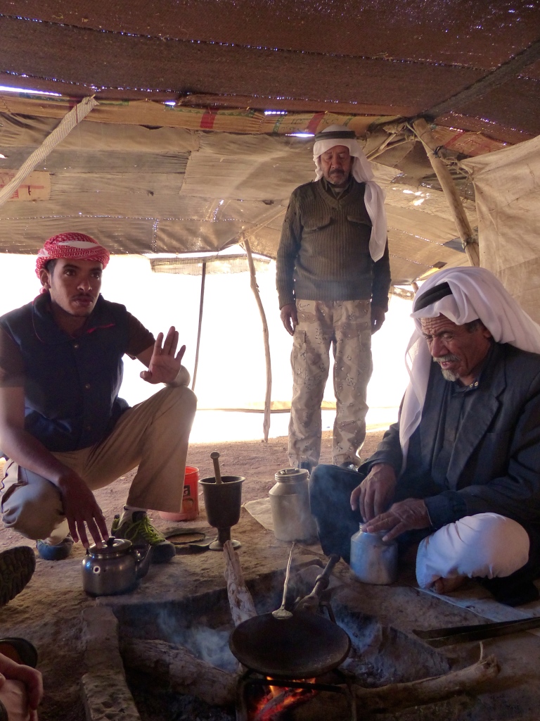
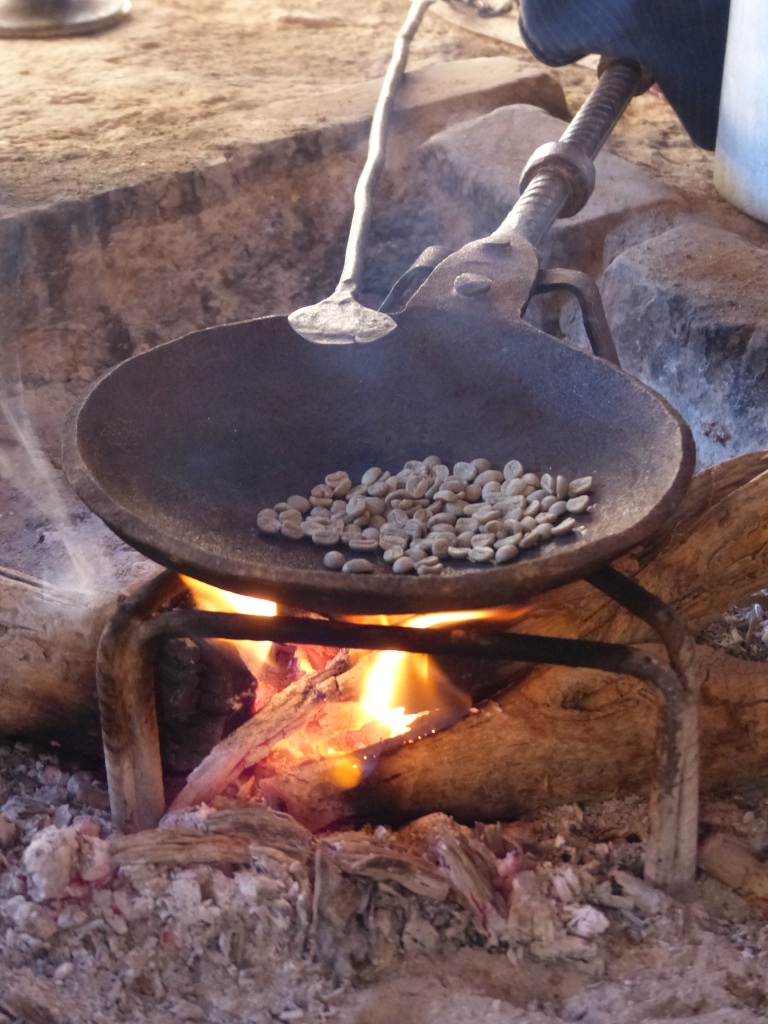
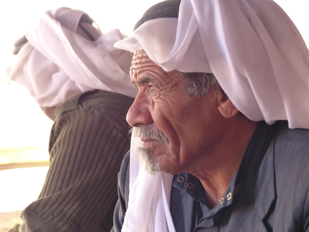
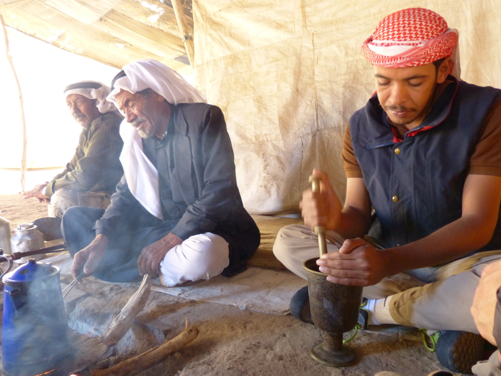
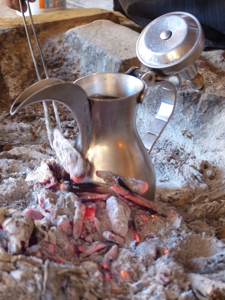
We entered and greeted Suleiman’s father and uncle, who both sat cross-legged by a small fire pit. His father shook hands with the men and gestured for us to sit on the floor pillows. Suleiman explained the importance of coffee in Bedouin culture as his father began to roast the beans on a flat pan over the fire. Not an everyday drink like tea, coffee is consumed at special events, such as parties, weddings and negotiations, he said. Suleiman passed a roasted coffee bean to each of us to eat and then poured the rest into a large brass mortar. He ground the beans noisily, clanging his pestle repeatedly as he worked. The sound is an invitation for neighbors to come over and join the family for coffee, he said. In the meantime, his father put a blue kettle of water on the fire to boil and then took over as bean grinder. He dumped the ground beans into a smaller Jordanian coffee pot with a pointy spout, dropped in some cardamom pods and then filled the pot with boiling water. He removed the blue kettle and the cooking stand, pushed aside the smoldering sticks and set the small coffee pot into the ash. He raked embers and hot ash up around the sides of the pot and let the coffee steep.

Suleiman continued sharing stories about coffee’s role in Bedouin culture. He said fathers and tribal elders often negotiate or solve serious problems over coffee. For example, he told of a car accident in which a pedestrian was killed. The pedestrian and the driver were from different tribes, and members of both tribes were angry and spoke of retribution. However, they agreed to wait one month before discussing the incident. After that period elapsed, the elders met over coffee. The son of the pedestrian was served coffee, but he set his cup down. Nothing would be settled until he took a sip. The driver’s tribe argued that the death was an accident and that the driver’s family would do anything, pay anything to make amends. Eventually, the pedestrian’s tribe accepted the apology and agreed that the driver never meant to hurt anyone. They asked only for the family to receive the car insurance settlement. The pedestrian’s son drank the coffee, and the two tribes were back on friendly terms.

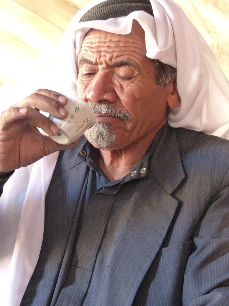
We expected Suleiman’s father to pour each of us a full cup of coffee, but it doesn’t work that way. Suleiman explained there may only be two cups for 50 people, so you have to drink fast. When it’s your turn, you can get only two refills. The coffee should be so hot as “to scare your mustache,” he said. You can swirl your cup to cool it, but you should drink it and any refills right away so someone else can use your cup. If you don’t want both refills, you hold up your cup and wiggle it back and forth to signal that you’re finished. The server should always start with the oldest or most important person, or start serving to your right and move counterclockwise around the fire.

I had to wait for both Tony and Eddie to finish their coffee before a cup made it around the circle to me. Suleiman poured just a tiny amount, two sips really. It was very weak but fragrant. When we had all enjoyed the coffee, Suleiman’s mother and sister brought out tea glasses and a platter of mezzehs – tinned tuna, olives, hummus, tomatoes, French fries and the local flat bread. A neighbor showed up (and sure enough, announced his arrival before entering the tent) and sat down for tea with us.

P1050826

P1050827

P1050837

P1050841

P1050858

P1050863

P1050872

Although I most likely will never need to use my Bedouin coffee drinking skills, I felt grateful for the glimpse into our host’s culture. Suleiman’s deep commitment to family and the Bedouin lifestyle helped to make this morning particularly special. Later, we had another opportunity to appreciate him. After dinner, Tony and I were headed to bed early when Suleiman suddenly stopped eating and said, “Wait, I want to show you something.” He took us up on the roof and used a laser pointer to identify a bunch of constellations. Then he unlocked a storage cabinet and took out the telescope to look at the craters on the moon. Such a kind gesture!

A few parting shots of Feynan.
P1050780

P1050825

P1050890

Trekking through the Bible – Jordan Journey, Day 2

The Dead Sea region features prominently in the Bible, and today our driver, George, took us to three sites of Christian significance: Mount Nebo, where Moses saw the Promised Land before he died; Madaba, where an ancient mosaic map of the Holy Land has helped historians pinpoint biblical locations; and Bethany Beyond the Jordan, the site where Jesus was baptized in the River Jordan.

On the way to Mount Nebo, we stopped at La Storia Tourism Complex, a “museum” and factory shop. George was very enthusiastic about the museum and said he’d brought his family here a couple times. It started with strange life-sized dioramas of Bible scenes (including haggard taxidermied animals boarding Noah’s ark that looked like they may have been the original animals). After awhile, the theme morphed into traditional clothing from Jordan and surrounding countries, the three most sacred mosques in the world, Jordanian military uniforms and insignia, and a Bedouin tent depicting typical daily life. Very stream of consciousness … The rest of it was also weird but in a more meaningful way. We strolled through a re-created Jordanian village with all the traditional craftsmen, shops, service people and families doing what families do. The mannequins needed some upkeep, but still, it was enlightening. We exited the museum and stepped into the factory store, where a few sullen ladies pieced together small mosaics. The shop featured all kinds of local souvenirs, but we dashed through pretty quickly. We skipped the opportunity to contribute to the world’s largest mosaic, which I kind of regret now.

Mount Nebo
Then Moses climbed Mount Nebo from the plains of Moab to the top of Pisgah, across from Jericho. There the Lord showed him the whole land. … Then the Lord said to him, “This is the land I promised on oath to Abraham, Isaac and Jacob when I said, ‘I will give it to your descendants.’ I have let you see it with your eyes, but you will not cross over into it.” And Moses the servant of the Lord died there in Moab, as the Lord had said. He buried him in Moab, in the valley opposite Beth Peor, but to this day no one knows where his grave is. (Deuteronomy 34:1-6)

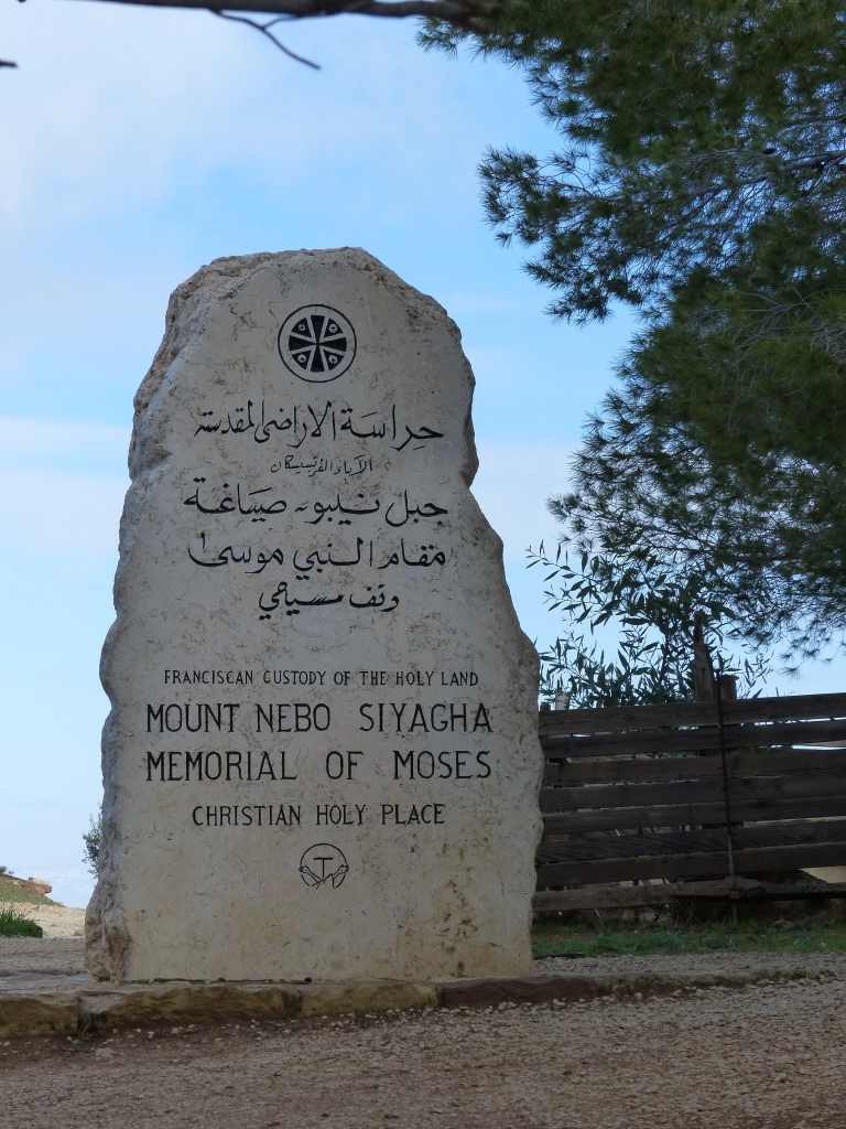
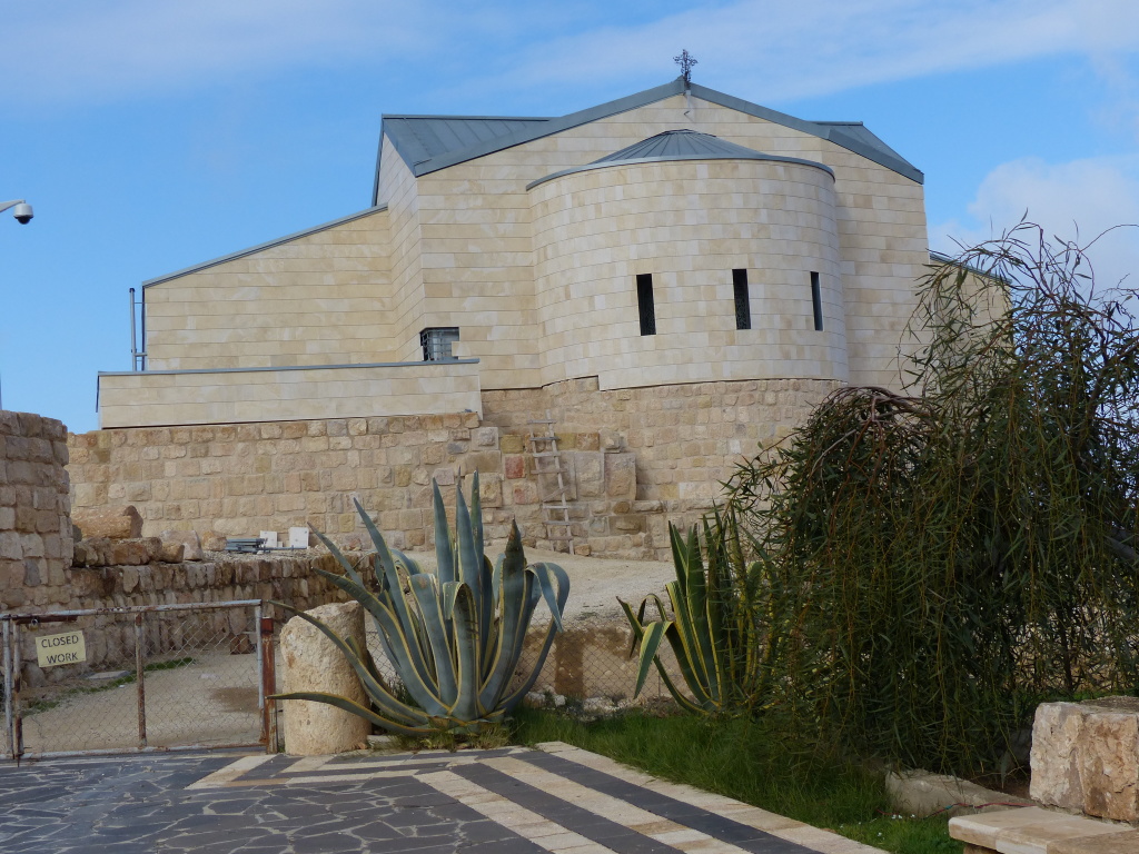
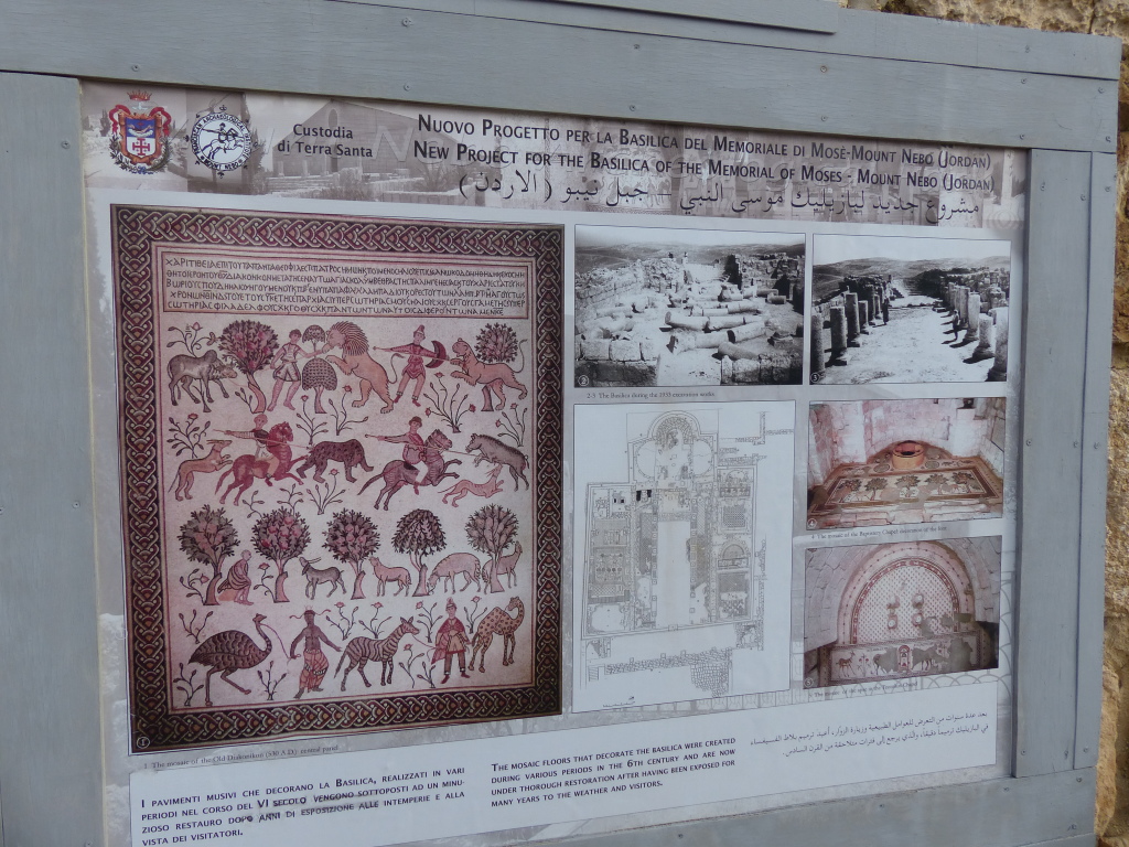
The main attraction at Mount Nebo was the view from Mount Nebo. There really wasn’t much to see other than a couple markers, a small museum and the exterior of a church that has been under renovation for more than four years. The church was built over the foundation of a Byzantine basilica, which was discovered by archaeologists in the 1930s.

The museum displayed artifacts from the original church. According to the website Sacred Destinations:

The baptistery and the mosaic can be precisely dated to August 531 thanks to a Greek inscription, which also names the three workers who created it and the bishop at the time (Elias). The Old Baptistery mosaic is in remarkably pristine condition because another one was laid over it just a few decades later in 597. The underlying mosaic remained hidden for nearly 1,400 years until it was discovered in 1976 when the one on top was removed for restoration (it now hangs on a wall).

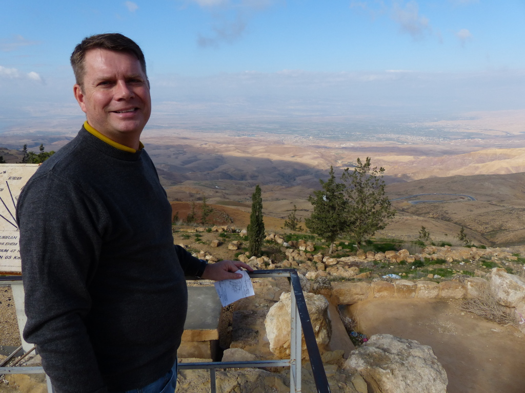
From the top of the 820-meter-high mountain, Tony and I looked out at the valley and beyond to Israel and realized it may have been the very spot from which Moses saw the Promised Land.
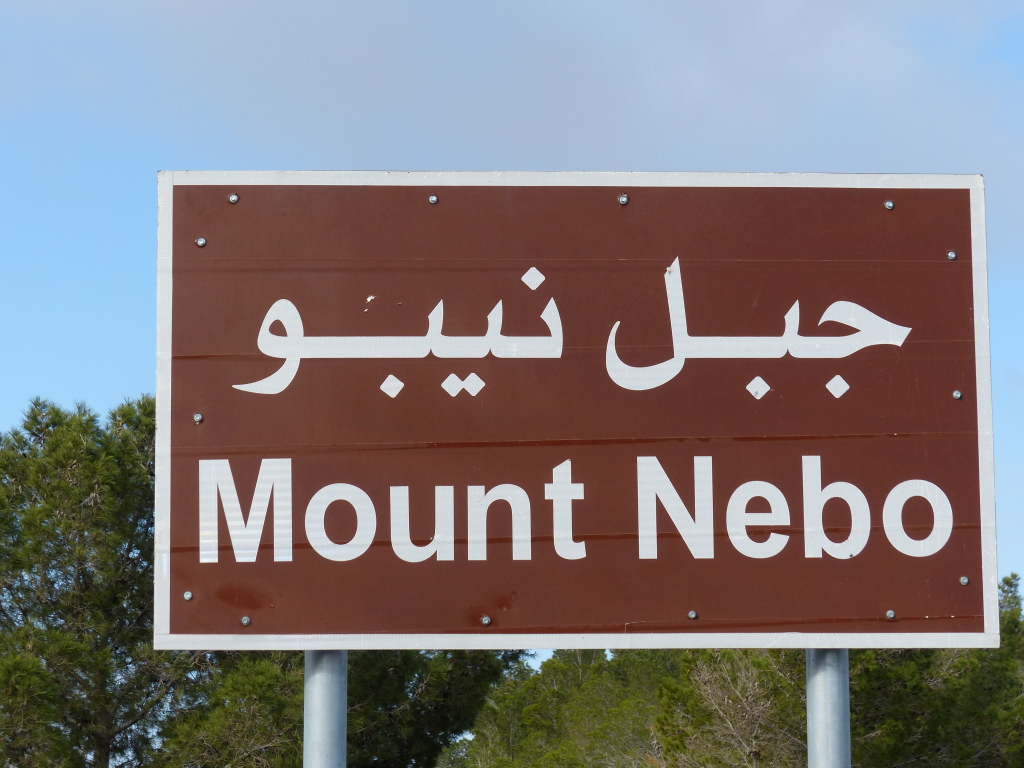
P1050705

P1050706

P1050714

P1050711

I spaced off taking pictures of the actual mosaics. Geez. But this poster shows the most famous one.
P1050713

Madaba
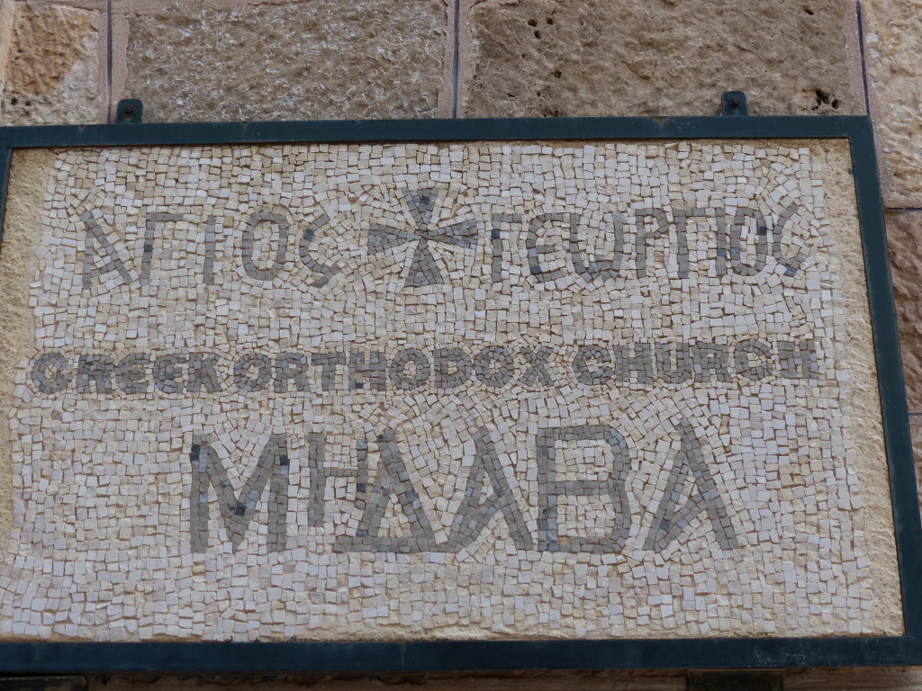
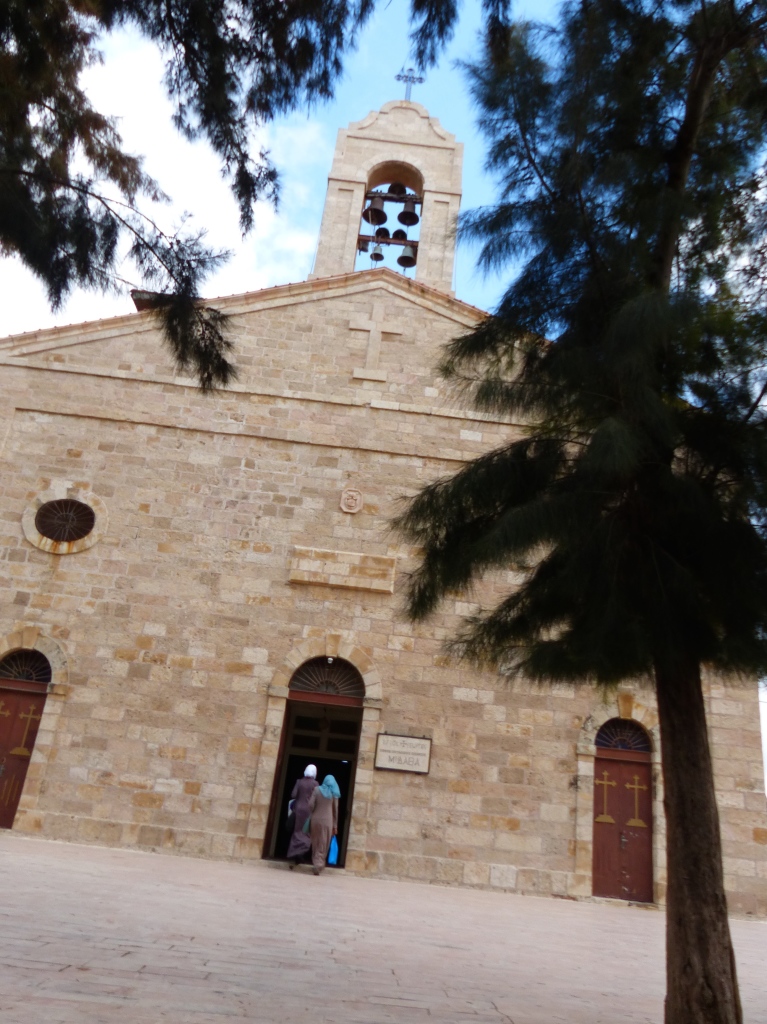
George dropped us off and we wandered through the streets of souvenir shops to reach the Church of St. George, home of the oldest known geographic floor mosaic. Based on buildings pictured and those missing in the map, historians date it to between 542 and 570 AD. An earthquake in 746 destroyed the town, and the mosaic was forgotten until its rediscovery in 1896 during construction of a new church.

According to wikipedia:

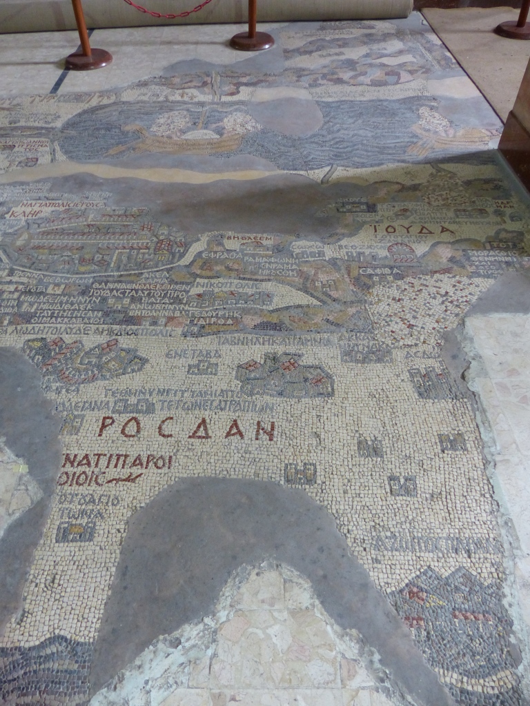
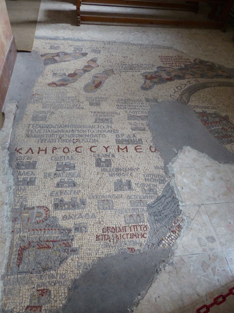
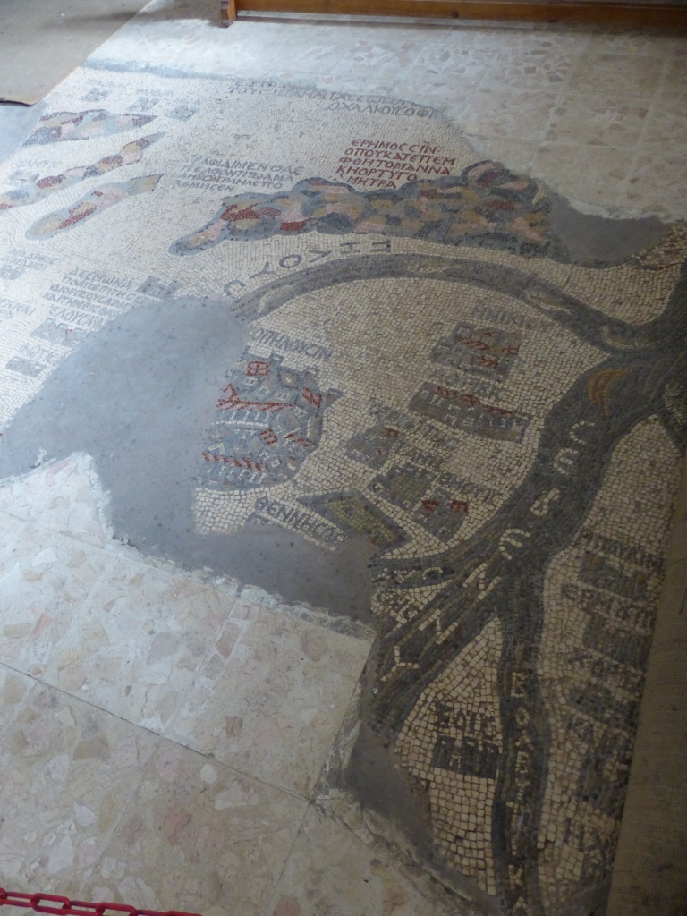
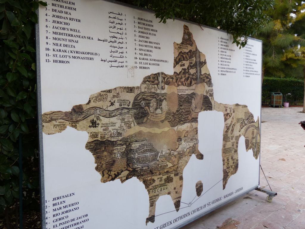
The mosaic map depicts an area from Lebanon in the north to the Nile Delta in the south, and from the Mediterranean Sea in the west to the Eastern Desert. Among other features, it depicts the Dead Sea with two fishing boats, a variety of bridges linking the banks of the Jordan, fish swimming in the river and receding from the Dead Sea; a lion (rendered nearly unrecognisable by the insertion of random tesserae during a period of iconoclasm) hunting a gazelle in the Moab desert, palm-ringed Jericho, Bethlehem and other biblical-Christian sites. The map may partially have served to facilitate pilgrims’ orientation in the Holy Land. All landscape units are labelled with explanations in Greek. A combination of folding perspective and aerial view depicts about 150 towns and villages, all of them labelled.
The largest and most detailed element of the topographic depiction is Jerusalem, at the centre of the map. The mosaic clearly shows a number of significant structures in the Old City of Jerusalem: the Damascus Gate, the Lions’ Gate, the Golden Gate, the Zion Gate, the Church of the Holy Sepulchre, the New Church of the Theotokos, the Tower of David and the Cardo Maximus. The recognisable depiction of the urban topography makes the mosaic a key source on Byzantine Jerusalem. Also unique are the detailed depictions of cities such as Neapolis, Askalon, Gaza, Pelusium and Charachmoba, all of them nearly detailed enough to be described as street maps.

For an exhaustive look at each part of the map, check out the website The Madaba Map.

Aside from its historical and scientific importance, it’s simply mesmerizing.
P1050733

P1050730

P1050722

P1050723

P1050725

P1050726

This display showed the whole map with an index, and the visitor center also had many excellent interpretive displays.
P1050732

George recommended Haret Jdoudna, a local restaurant, for lunch. The food was delicious, and we enjoyed chatting with George about his family and Jordan.

Bethany Beyond the Jordan
Then Jesus came from Galilee to the Jordan to be baptized by John. But John tried to deter him, saying, “I need to be baptized by you, and do you come to me?” Jesus replied, “Let it be so now; it is proper for us to do this to fulfill all righteousness.” Then John consented. As soon as Jesus was baptized, he went up out of the water. At that moment heaven was opened, and he saw the Spirit of God descending like a dove and lighting on him. And a voice from heaven said, “This is my Son, whom I love; with him I am well pleased.” (Matthew 3:13-17)

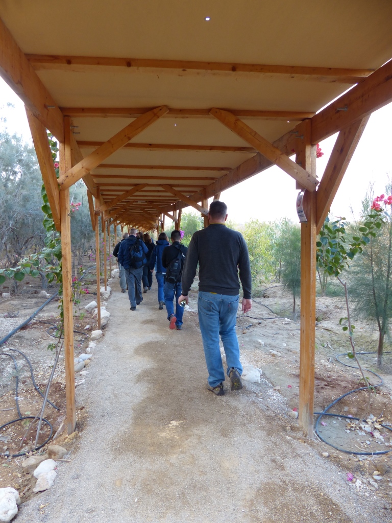
Our last stop of the day was the site where religious scholars believe John the Baptist baptized Jesus in the River Jordan. At the visitors center, we joined a small group and a guide for the short drive to a drop-off point. From there, we walked along a covered path to see several attractions.
P1050742

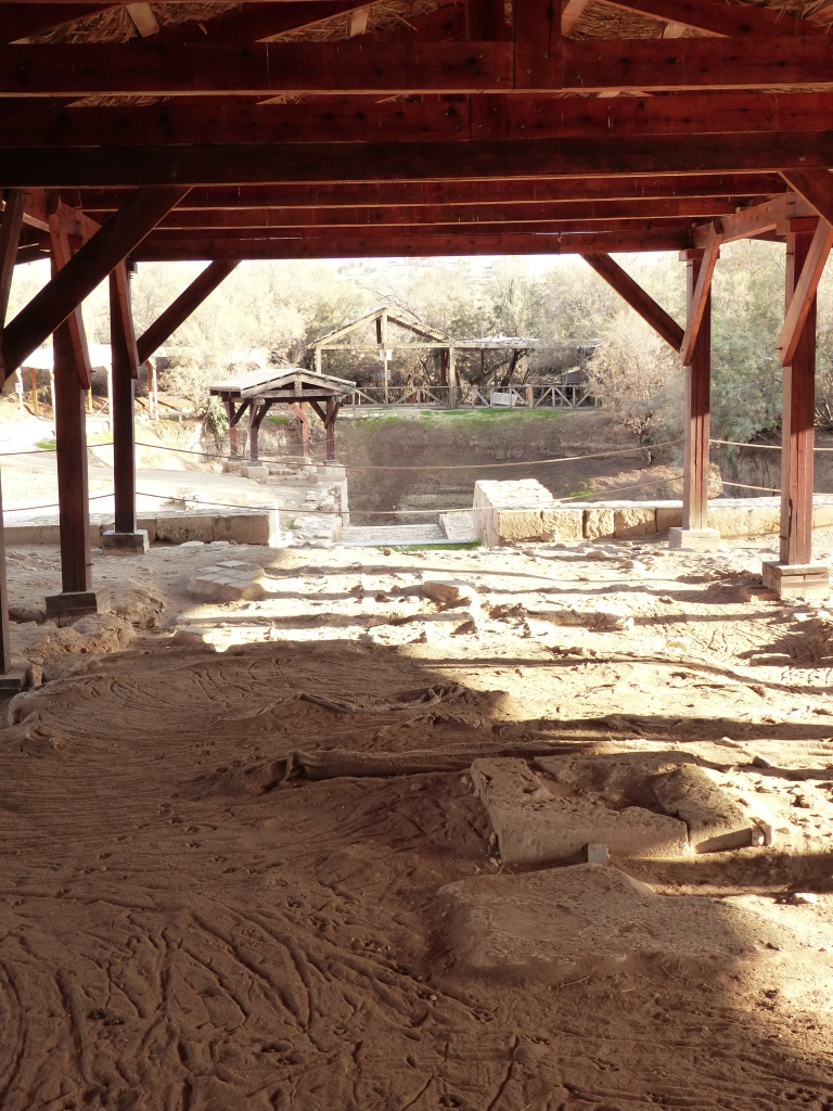
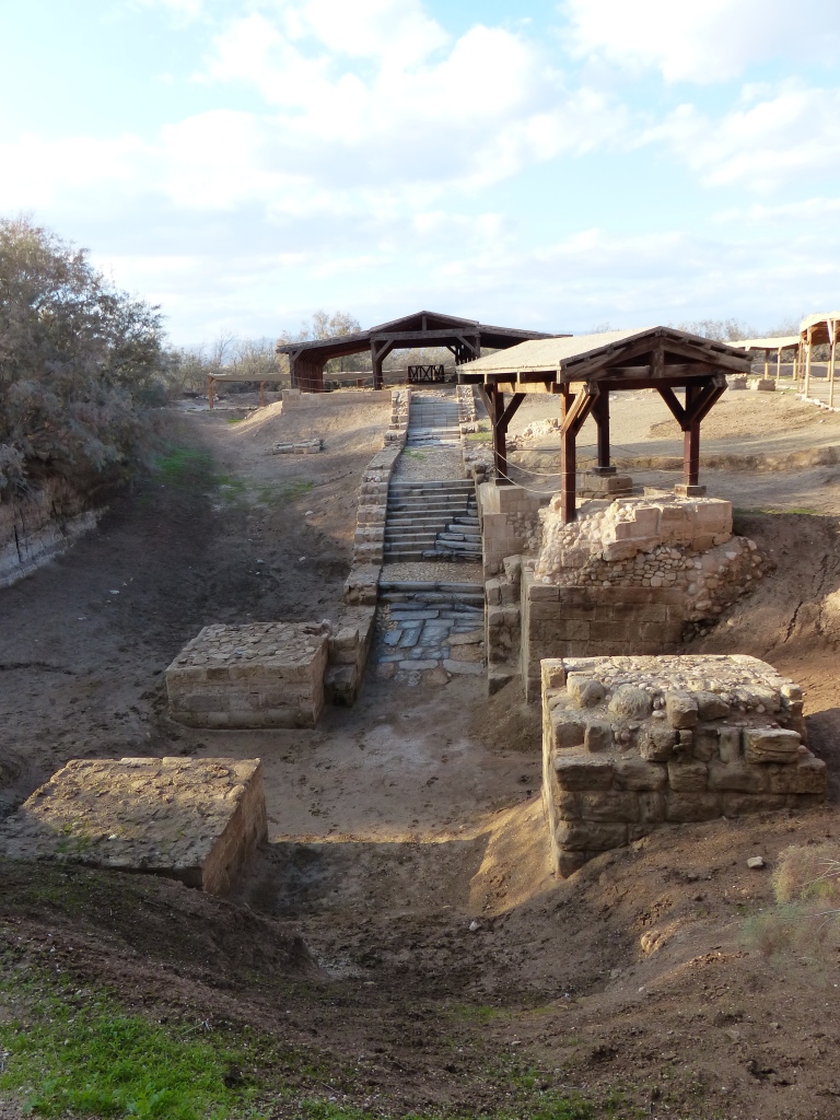
Of the most interest to us was, of course, the site of Jesus’s baptism. It actually didn’t contain any water, as the River Jordan is not much more than a muddy creek these days, and its tributary into this small area was dried up. However, we could see the marble steps leading down into the baptismal pool, the mosaic floor of the 7th-century Church of John the Baptist, and the ruins of two other churches.
P1050745

P1050748

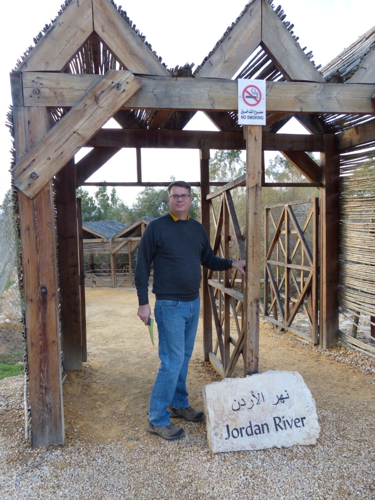
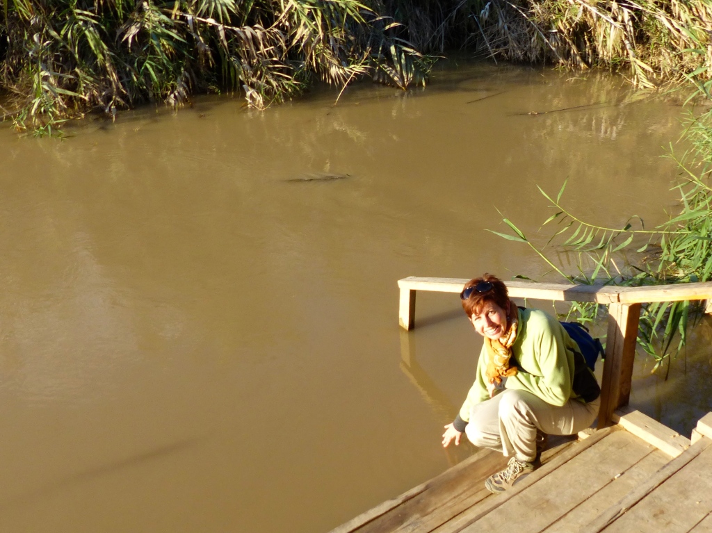
Another short walk brought us to the river itself.

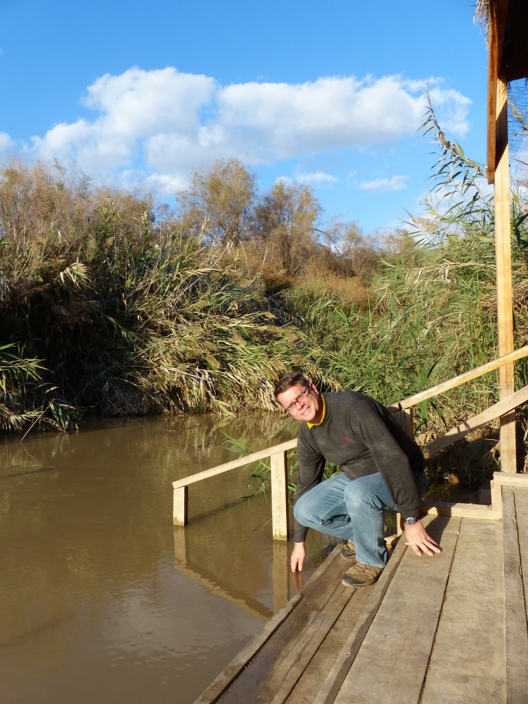
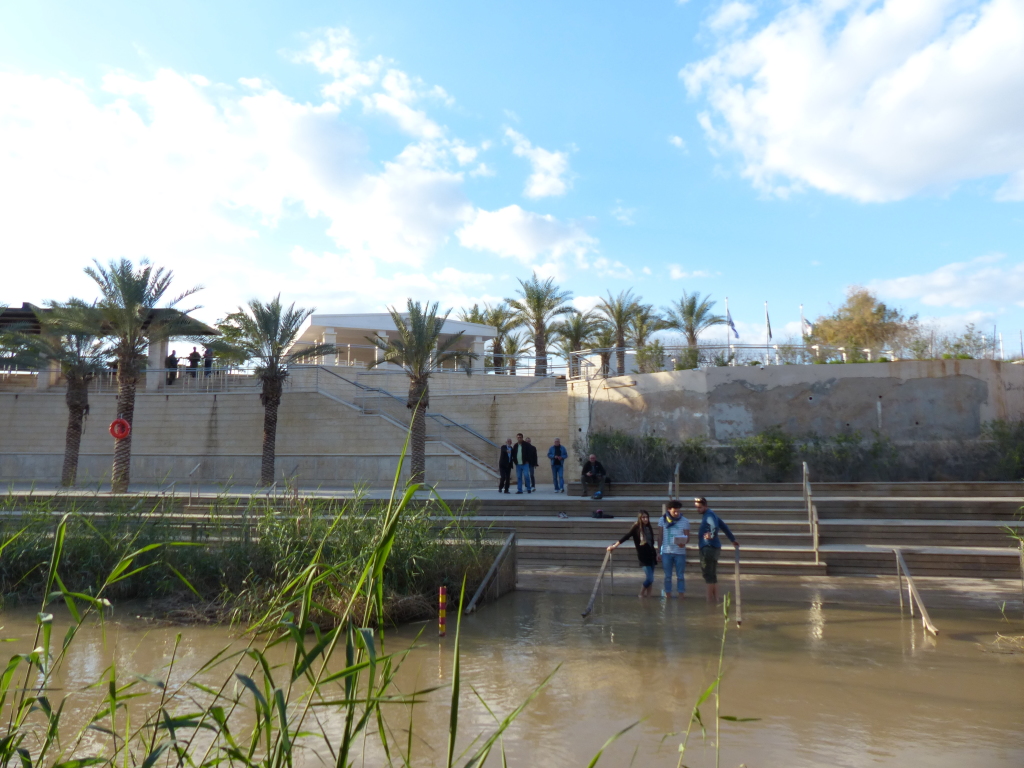
Tony and I both touched the water and then sat quietly to watch the emotional responses of other visitors. Several people stepped into the shallow river, splashed water onto their heads or filled bottles to take home. One Italian lady actually said, “Mama Mia!” and then wept as she stood in the shin-deep water.
P1050757

P1050759

P1050760

The opposite bank – just 15 feet or so away – was Jericho, and Israeli visitors were equally emotional. “What keeps us from wading across to Israel?” I asked Tony. He gestured to a shady spot, where a Jordanian soldier sat hunched and looking bored. I wandered over and tried to engage the soldier in conversation, but his English was limited. “Does anyone ever try to walk or swim to the other side?” I asked with lots of ridiculous miming. He wagged his finger at me and said, “No.” Maybe he thought I was asking permission to do so. Then I asked if I could take his photo, and I got the same reply.
P1050761

Our tour ended at a gift shop, of course. This one was aptly named after the area’s most famous resident. Holy water, rosaries, icons, and a whole plethora of other Christian paraphernalia filled the shelves.
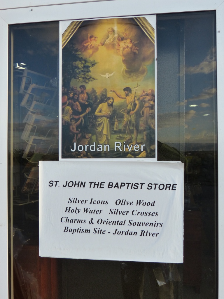
P1050769

Our guide, a young archaeology student, was friendly and kind, but his English was difficult to understand, so I had to dig around online to understand what we saw.

Why do archaeologists believe this is the site of Jesus’s baptism? The website Sacred Destinations does a nice job summarizing the evidence.

The first historical mention of this site is in the writings of the anonymous Pilgrim of Bordeaux in 333 AD, which say Jesus was baptized five Roman miles (7400m) north of the Dead Sea, which is where Wadi Kharrar enters the Jordan River.

The pilgrim Theodosius was the first to mention a church at the Jordan River, which was built at the end of the 5th century by the Emperor Anastasius (491-518) to commemorate St John the Baptist. Built on arcades and square in shape, the church had a marble column with an iron cross marking the spot where the people then thought that Jesus had been baptized.

Various other church writers and pilgrims in the 5th through 7th centuries mentioned churches in the lower Jordan River-Bethany region commemorating the baptism of Christ.

The 7th-century pilgrim Arculf mentioned seeing the ruins of the church at this spot on the east bank, a wooden cross in the river, and steps leading into the water from the west bank. Another nearby chapel was said to have marked the spot where Jesus’ clothes were kept while he was being baptized.

In more recent times, the site was long off limits due to its position along a disputed border that was dotted with thousands of land mines. It was only in 1996, following the peace treaty of 1994 and two years of clearing the mines, that archaeologists were able to excavate Wadi Kharrar.

Using some pre-1948 studies and the early pilgrim accounts as their guide, archaeologists quickly uncovered an astonishing 21 ancient sites. These include five baptismal pools (shallow pools lined with plaster) from the Roman and Byzantine periods; a Byzantine monastery; 11 Byzantine churches (many with mosaics and Greek inscriptions); caves of monks and hermits; and lodgings for pilgrims.

These findings have led most scholars to conclude that this is the biblical Bethany-beyond-the-Jordan, where John baptized Jesus Christ. This is not certain, however, as the ruins do not date to the time of Christ and there are some early sites across the river as well. Some still believe Jesus was baptized on the west bank in Israel, but the majority opinion firmly rests with this site in Jordan.

In January 2000, on Epiphany, more than 40,000 people gathered at the Baptism Site along with church leaders from 15 world churches in a massive pilgrimage. Shortly after, the Armenian Church officially declared the site to be the location of the baptism fo Christ. And on March 20, Pope John Paul II held an outdoor Mass at the site with 25,000 worshippers in attendance.

The Baptism Site Commission website is a goldmine of information about the River Jordan and its significance in Christian history. You can watch a full documentary or a series of short videos, read heaps of testimonials, peruse maps and other original documents, and more – all in beautifully fluent English. Very impressive!

According to the website, the site was a major pilgrimage destination until around the 14th century, when power fell to the local tribes and the area was considered unsafe. The Madaba map’s discovery in 1897 renewed interest in pinpointing the location of Jesus’s baptism, but it wasn’t until Jordan and Israel signed their peace treaty in 1994 that the area was de-mined and prepared for excavation.
Bob-bob-bobbing along – The Dead Sea – Jordan Journey, Day 1

You can’t visit the Dead Sea and not go IN the Dead Sea, right? Tony and I kept asking that aloud because, frankly, we were not at all enthusiastic about getting in the water.

Every website about the Dead Sea features a litany of warnings:
Don’t shave before you swim!
Any cuts or sores will burn like hell!
The sharp rocks will cut up your feet!
If you get the water in your eyes, you will wish for death!
The salt water will destroy your swimsuit!
Flies will coat your whole body the minute you get in the water!

The best threat? You can’t sink in the Dead Sea, but you can drown if you roll face-down and can’t roll back.

Seriously, we had to talk ourselves into it.

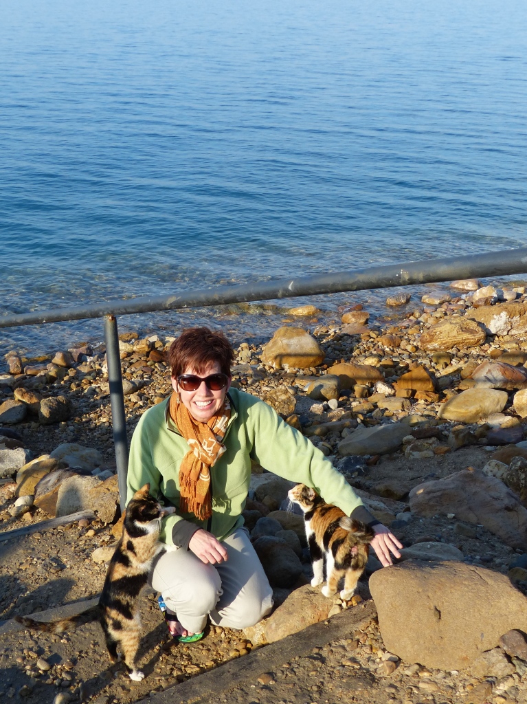
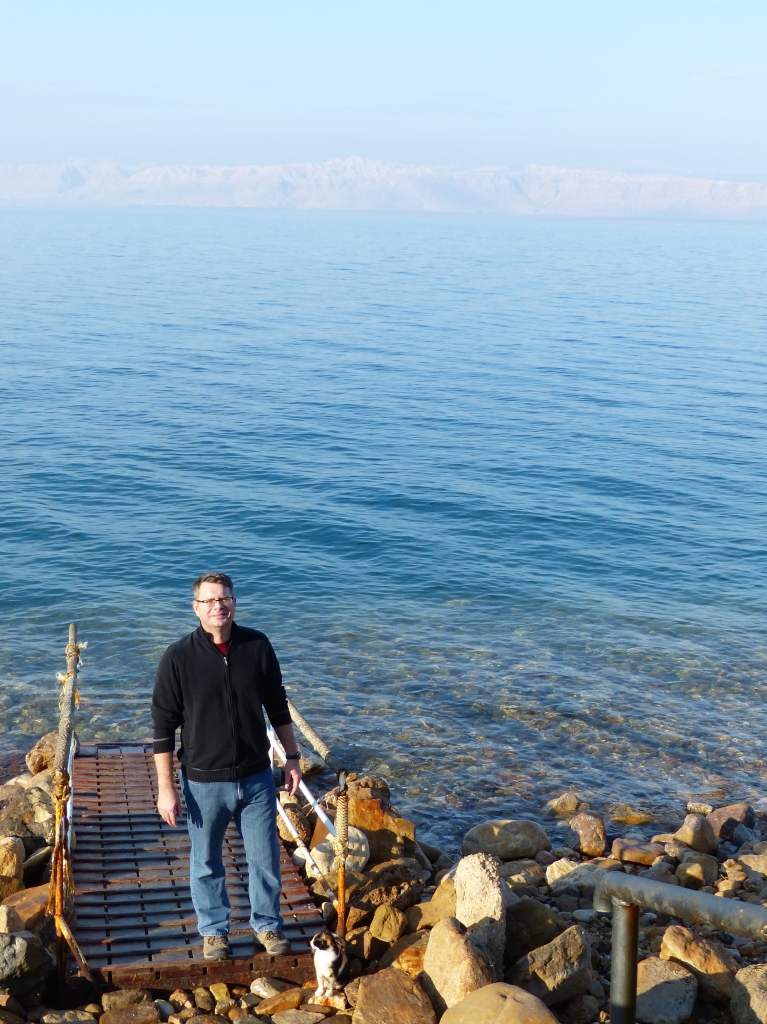
Jetlag sent us to bed at 7:30 p.m. and woke us up at 5:30 a.m., so we lingered over breakfast, toured the resort and scoped out the sea, all before 10. Standing at the dock, we played with the resident cats and chatted with another couple who had enjoyed an early morning dip.
P1050697

BTW, that’s Israel in the background.
P1050699

“If we do it now, it can all be over by 10:30,” I said to Tony. We plodded to our room, changed into swimsuits and clambered back down the hill to the waterfront.

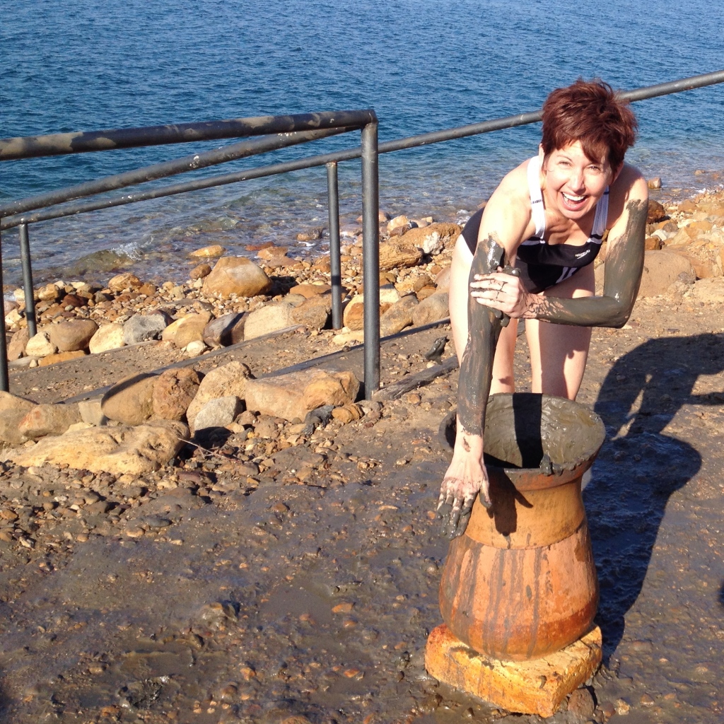
I plunged my hands into a large clay pot full of the therapeutic “black mud” and smeared the stuff on my arms and legs. A hotel worker hanging out by the water told me it was “fresh mud, new mud.”
IMG_0489

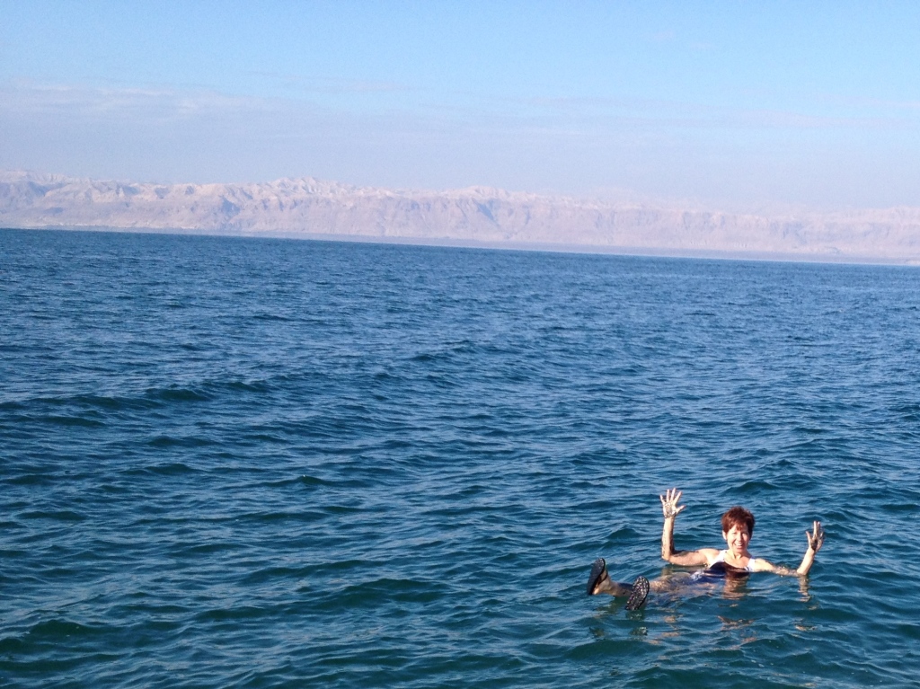
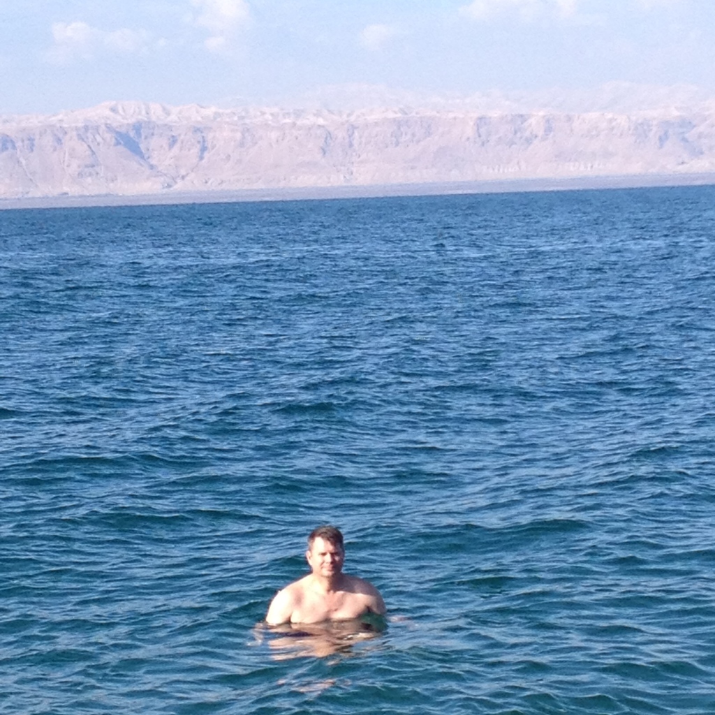
Wearing flip-flops, I tentatively stepped off the dock onto large rocks. Rather than trying to walk out further or swim, I simply sat down. My butt didn’t go far, though, and just like that, I was floating on my back. If I filled my lungs with air, I could hold the entire length of my body on the surface or stand upright without touching the bottom and stick out of the water up to my chest. In my haste to get this over with, I hadn’t brought any props. So much for the reading-a-newspaper-in-the-Dead-Sea photo opp. After snapping a few shots of me, Tony climbed into the water, too.
IMG_0505

Tony is neither touching the bottom nor treading water. Insane!
IMG_0516

Much to our surprise, the sea felt fantastic, like warm baby oil. We played with our buoyancy, bobbing about and seeing how far we could submerge ourselves. The only way to move around was to lie on our backs and paddle with our arms. I carefully avoided getting the water my eyes or mouth, but Tony intentionally tasted it and said it was 75 million times saltier than he thought it would be and completely disgusting. As we played, I rubbed the black mud off my limbs. We would have stayed in the sea longer, but the air was cool and we couldn’t get far enough underwater to warm up.

We hosed off and then jumped in to the hotel’s heated swimming pool. Weirdly, I expected to float on the surface like I did in the sea. I honestly couldn’t remember what normal buoyancy felt like. When I filled my lungs with air and stood upright without touching the bottom, most of my face remained underwater. I lay on my back, as I did in the sea, and slowly began to sink.

Here are some facts about the Dead Sea I learned on this visit.
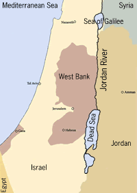
(1) It is not a sea at all but rather a saltwater lake 67 kilometers long and 18 kilometers wide, sandwiched between Jordan and Israel.
Image source: environment 360
Jordan-map-sm 2

(2) Water flowing into the Dead Sea was dramatically reduced when countries in the Middle East diverted the Jordan River for drinking water and irrigation in the 1950s. The Dead Sea’s water level drops by a meter every year.

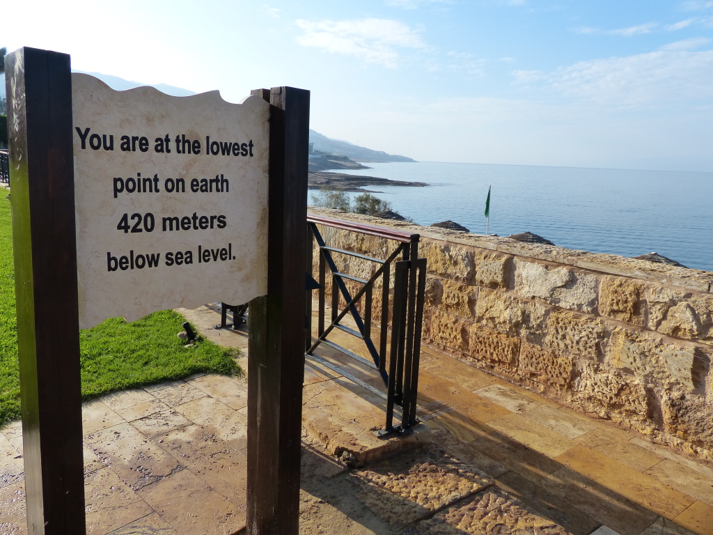
(3) The Dead Sea’s shoreline marks the lowest spot on earth – 423 meters below sea level. (Weird that a sea could be below sea level…)
P1050703

(4) Because the sea sits so low, there’s no outlet. Water can only escape by evaporation, leaving behind salt and minerals. While normal seawater is about 3.5 percent saline, the Dead Sea’s salt content is almost 10 times higher – around 33 percent. That’s why we float; the salinity makes the water denser than our bodies.

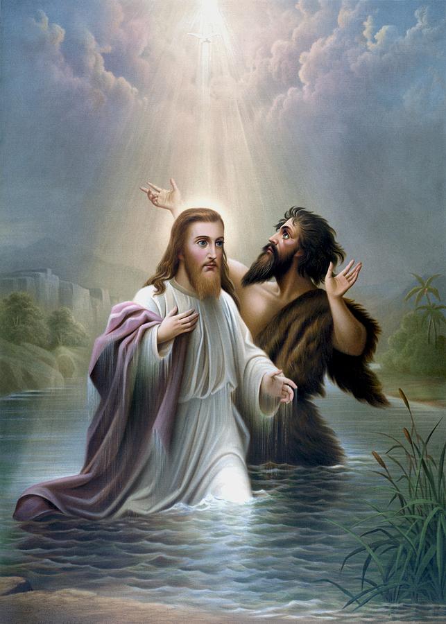
(5) The Dead Sea area is sprinkled with sites mentioned in the Bible, so the tourists include many religious pilgrims. Sodom and Gomorrah were here. John the Baptist lived in nearby caves and baptized Jesus in the Jordan River. God showed Moses the promised land from Mt. Nebo, just a short jaunt up the road.
Image source: fineartamerica
john-the-baptist-baptizes-jesus-christ-war-is-hell-store

(6) Mud and minerals from the Dead Sea have attracted the sick, infirm and cosmetically obsessed since Cleopatra’s time. People flock here for spa treatments, but now you can buy products with Dead Sea mud everywhere, including amazon:
Screen Shot 2014-12-23 at 5.20.56 PM