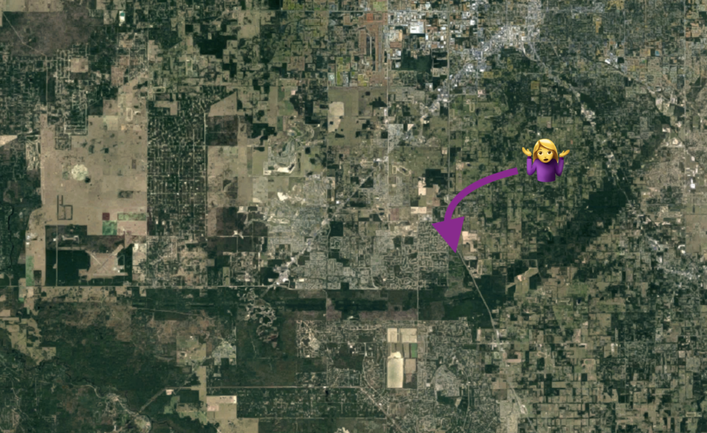
Before moving to central Florida in June, I would look at maps and drone images online to get a sense of the area and speculate about where I wanted to live. This big swath of green intrigued me, but I never took the time to figure out what it was.
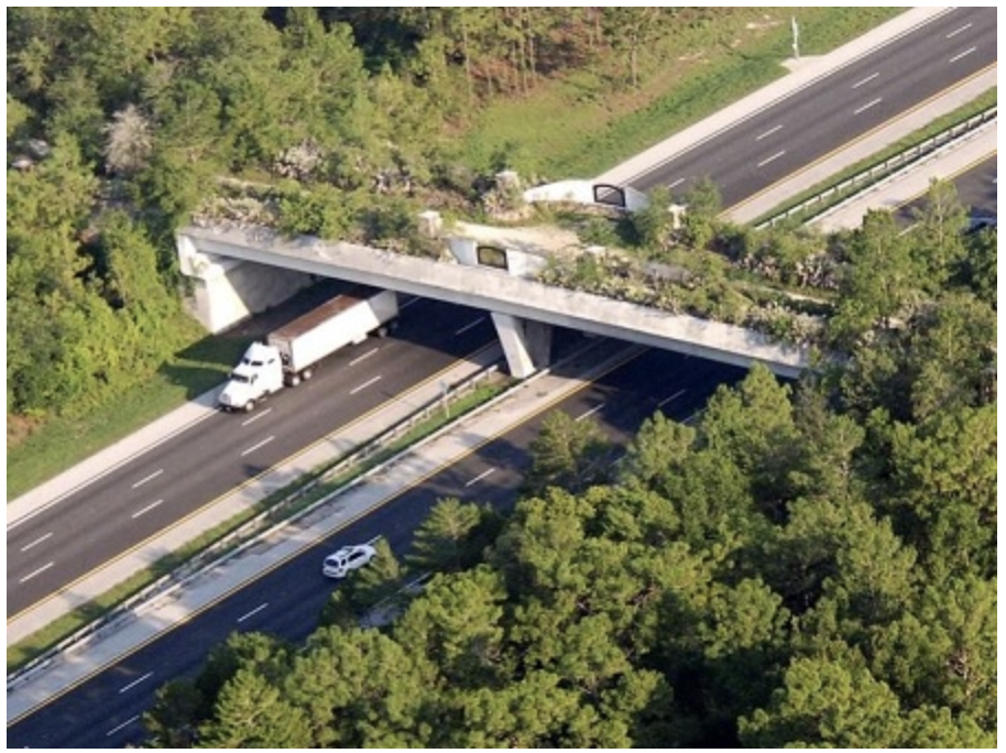
In recent months, I’ve driven under this bridge many times. Again, intrigued but too lazy to pursue any information.
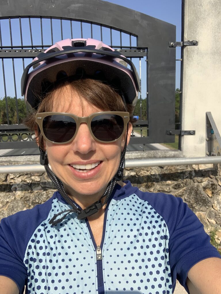
Recently, I encountered the landmark in person while on a bike ride. I still don’t know many people here, so I used the Meetup app and joined a group to cycle for a couple hours on a paved path starting at the Santos Trailhead in Ocala. As we took off, the organizer, Robyn, said, “Let’s ride to the bridge and then turn around.” Which bridge? Everyone else seemed to know what she was talking about, so I didn’t ask for clarification.
I pedaled alongside various members of the group, chatting and enjoying the scenery, until we arrived at “the bridge,” which turned out to be THE bridge. The Land Bridge is part of the Marjorie Harris Carr Cross Florida Greenway, and that greenway is the mysterious green swath I had noticed on the maps of this area. I excitedly dashed to the top of the hill and looked down at I-75 traffic zipping by below. It was a bit anticlimactic, but I resolved to learn more once I got home.
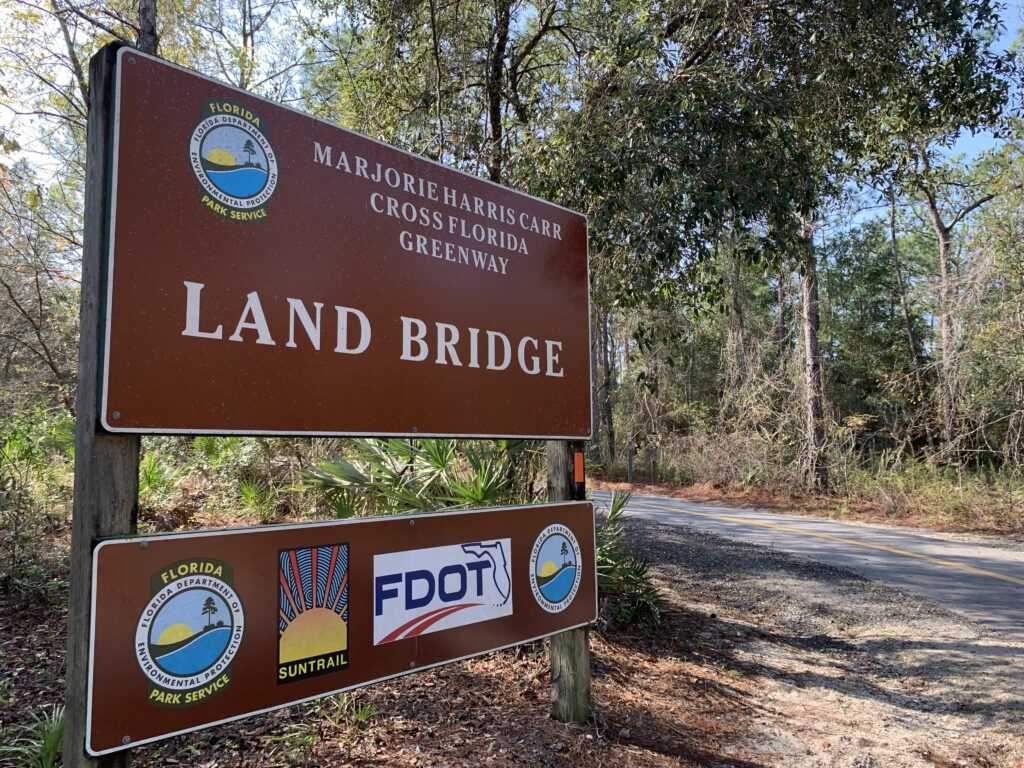
Turns out that green swath was actually meant to be a canal that would have bisected Florida to create a shipping channel from the Gulf of Mexico to the Atlantic Ocean. Ever since Spanish conquistador Pedro Menéndez de Avilés explored the coast of Florida in search of trade passages in the mid-1500s, “national and local leaders fought to secure funding and manpower to build a canal they believed would boost Florida’s economy and importance to global commerce,” according to a Florida State Parks sign on the east side of the bridge.
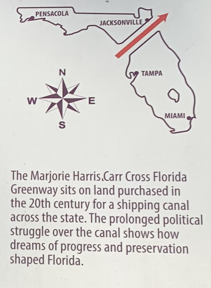
In 1942, Congress authorized construction of a 107-mile canal to protect the U.S. shipping industry from Nazi submarines, but a lack of funding delayed construction for almost 30 years. In 1971, about eight years and $50 million into the project, President Richard Nixon signed an injunction to halt the canal. His decision was in part based on opposition by the Florida Defenders of the Environment, headed by local scientist and conservationist Marjorie Harris Carr.
I found an article in the New York Times archive that reported the end of the Cross Florida Barge Canal. In the article, Nixon said, “The step I have taken today will prevent a past mistake from causing permanent damage. But more important, we must assure that in the future we take not only full but also timely account of the environmental impact of such projects, so that instead of merely halting the damage, we prevent it.”
In 1992, the canal property became the Cross Florida Greenway, a 110-mile linear state park. The park includes 70,000 acres of land and the country’s first Land Bridge over a major interstate, a corridor used by black bears and other wildlife. According to the Florida Hikes! website, construction on the Land Bridge started in 1999, and is at its core, “a giant planter, with 87-ton beams stretching 2,000 feet across I-75 to hold soil, rock, trees, native plants, and a watering system in a thousand-ton cradle of concrete and steel.”
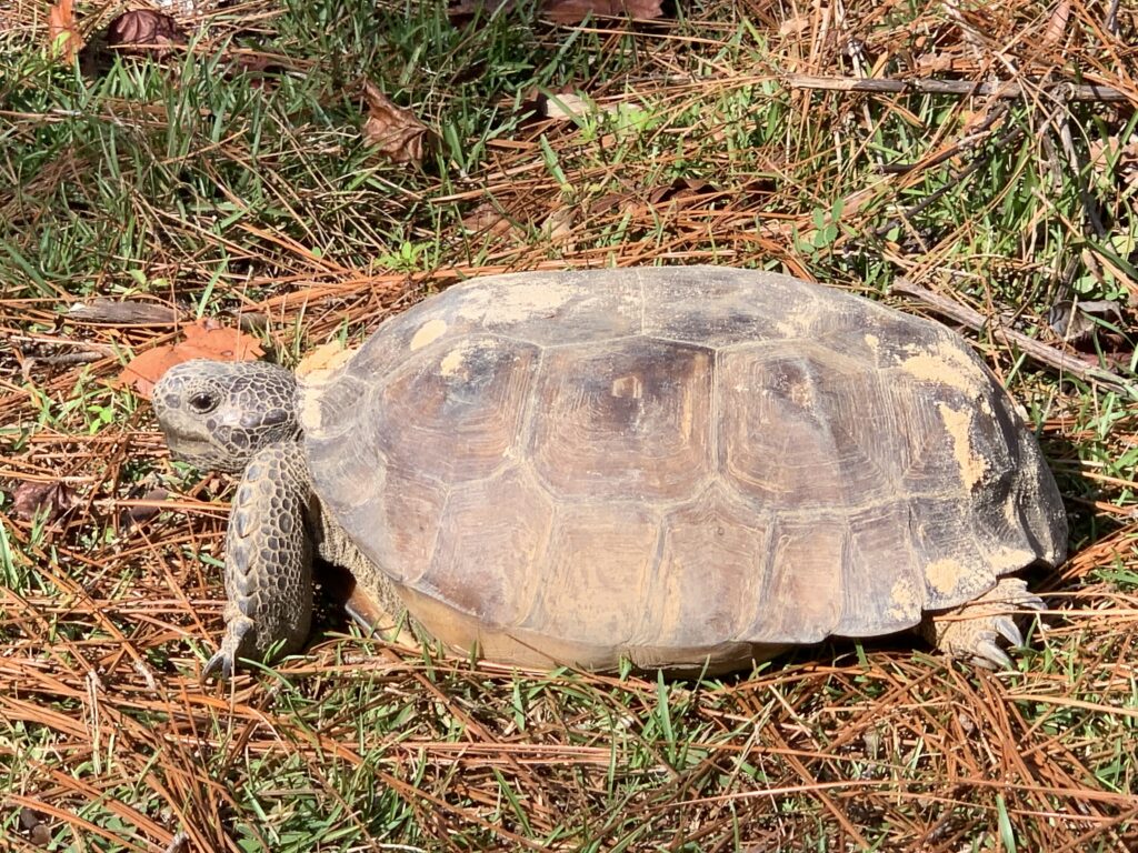
The day of our bike ride, the only non-human I saw using the Land Bridge was this gopher tortoise. (While researching the Land Bridge, I spent an inordinate amount of time getting side-tracked by this cool animal. They dig burrows that are said to provide shelter for 360 other species of wildlife!)
Now that I have identified the mysterious green swath, I hope to spend more time there.
